Travelling to Glockturm area stats
- Reached highest altitude so far: ~3000 m (not Glockturm summit unfortunately);
- Duration: 2.5 days, 2 nights (2017 September 16-18);
- Budget: 240 €;
- Broken previous speed record on German autobahn: 205 kh/h (previous: 195km/h);
- Broken speed record for non-alcohol beer in Octoberfest: 3 litres/h;
- Extreme whiteness temporarily (half week) impaired vision;
- Brought back two moles from extreme sunburn;
Intro
This is the third trip dedicated to mountaineering. Neither me, nor my friends are professionals, we don’t carry any special equipment and definitely not climbing walls of rocks. We enjoy chill hikes with enormous views and some physical challenge.
Prior hikes
- 2015: Summit at Monte Resegone (1875 m), Lecco province, Italy.
- 2016: Summit at Zugspitze (2962 m), German – Austrian border (highest mountain in Germany).
I might write about those in the future.
The actual trip
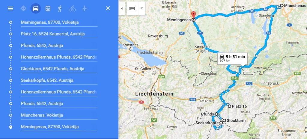
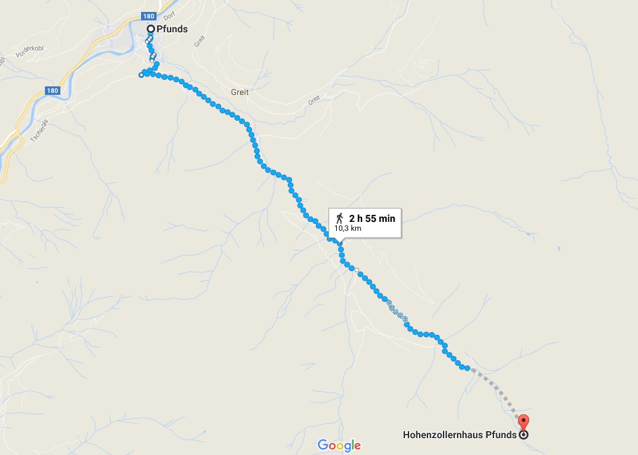
We bought tickets around 4 months before. Around 50€ each for Vilnius – Memmingen – Vilnius flights. We landed on Saturday at around 17 h. We had trouble pickup up rental car, but fortunately after an hour in airport we took off towards Austria. Rough estimation for route below:
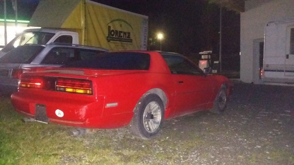
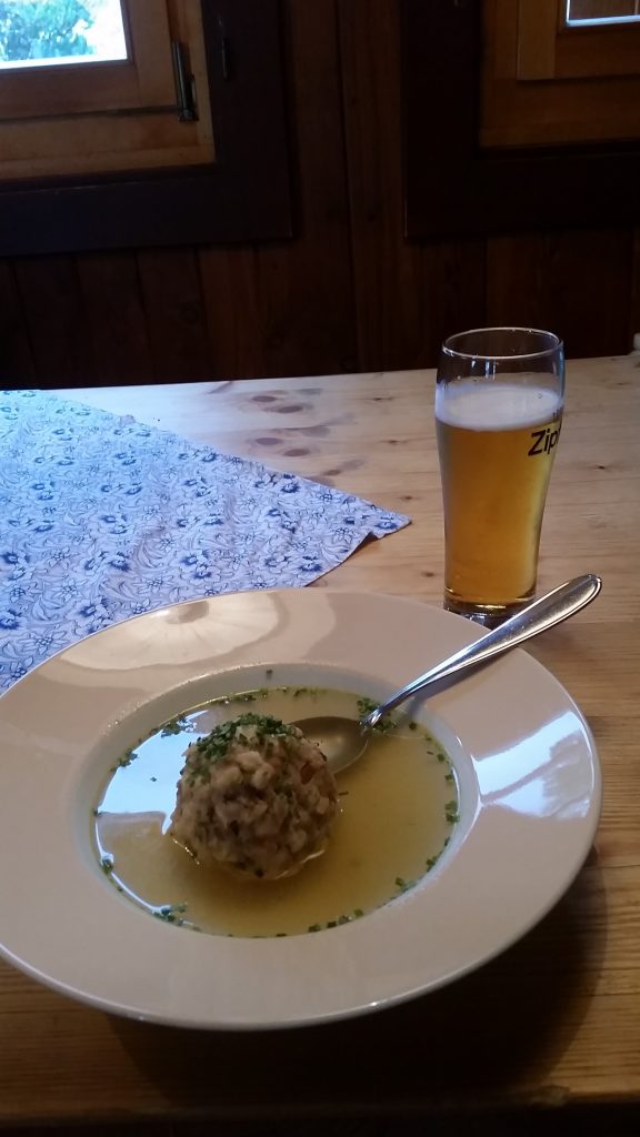
As we were driving in Austria looking for late dinner in the Saturday evening, we stopped at one parking-lot to check in the local cafeteria and there I find this beauty:
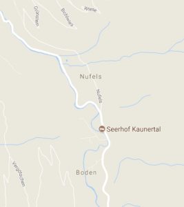
After finally taking a bite after nearly 11 hours of starvation (not particularly good before a hike day…) we get to our hotel between Nufels and Boden, Austria.
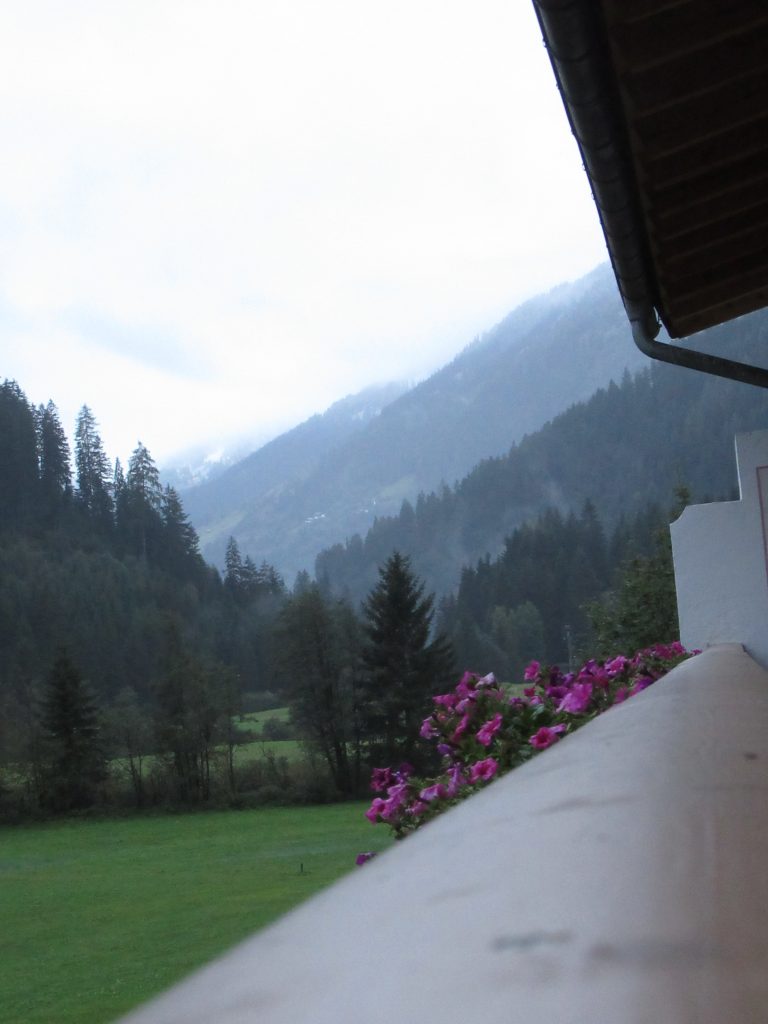
In the morning we now see, we are definitely between mountains. Hello again, Alps!
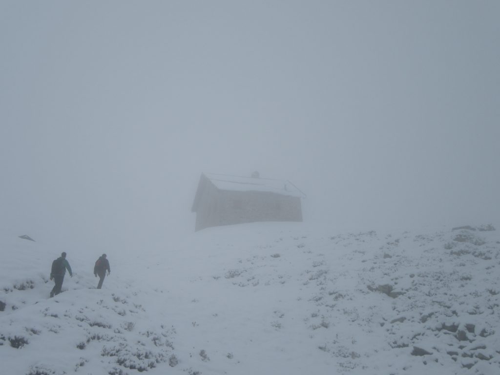
After an early rise, we quickly eat our breakfast and rush to Pfunds. One day of actual hike must not be wasted. We arrive at Pfunds and cheat the time, getting up to ~1700 m altitude with car (around half of marked distance from Pfunds to our next bed at Hollenzollernhaus).
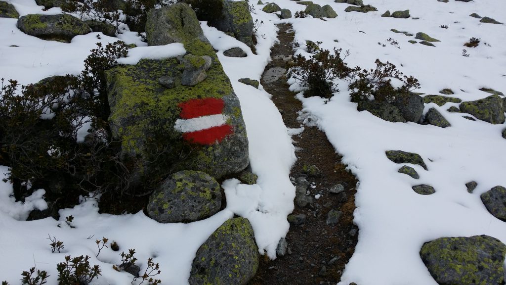
15 minutes into the walk we notice snow:
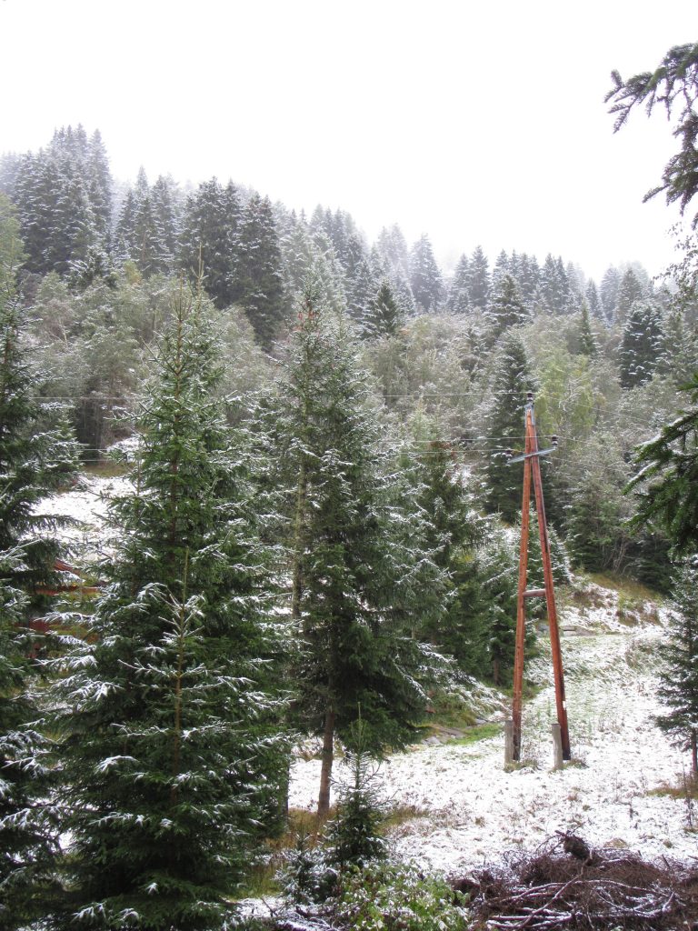
Weather forecast promised rain mixed with fog during the whole day and temperatures at ~8-13°C. We did not in fact expect to see snow at 1800 m altitude that early on.
30-50 minutes into the walking at around 1900 m everything was covered with snow sheet and we began thinking how in the hell would we summit Glockturm which we aimed at first.
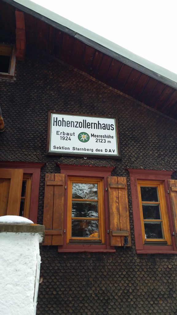
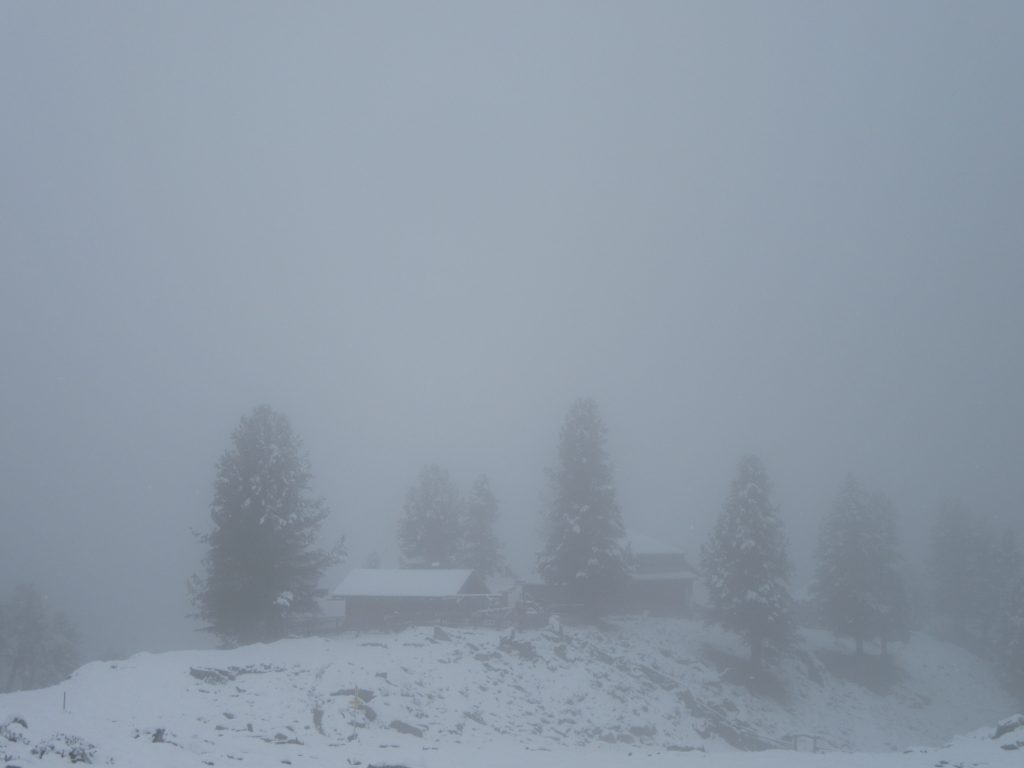
At around 12 o’clock we reached Hollenzollernhaus.
After checking in, we consulted the local dude weather it was possible for us to summit Glockturm. He looked at us, our shoes and shooke his head. “It’s too dangerous”.
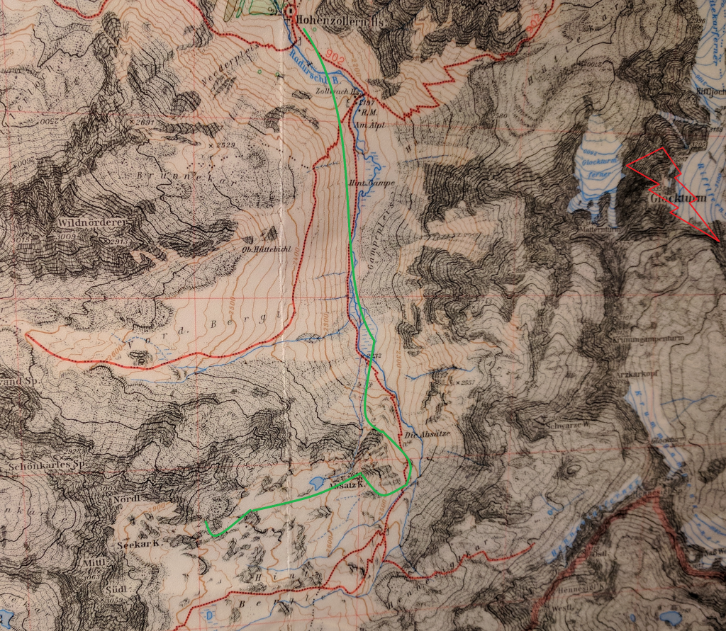
Ice, heavy fog and unprofessional equipment closed the hopes of heading to Glockturm (3356 m). So we asked where could we spend our energy for the rest of the day, he walked us to the map and suggested we follow the valley and return by 18 o’clock. So after all we were approximately following green spline.
And so at 12:30~ after dropping some weight at the hostel we leave.
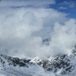
Fog was really heavy.
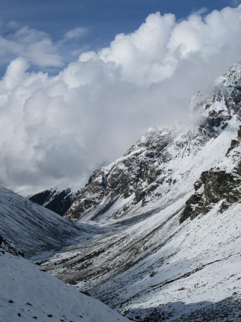
After following the valley for a while time to look back:
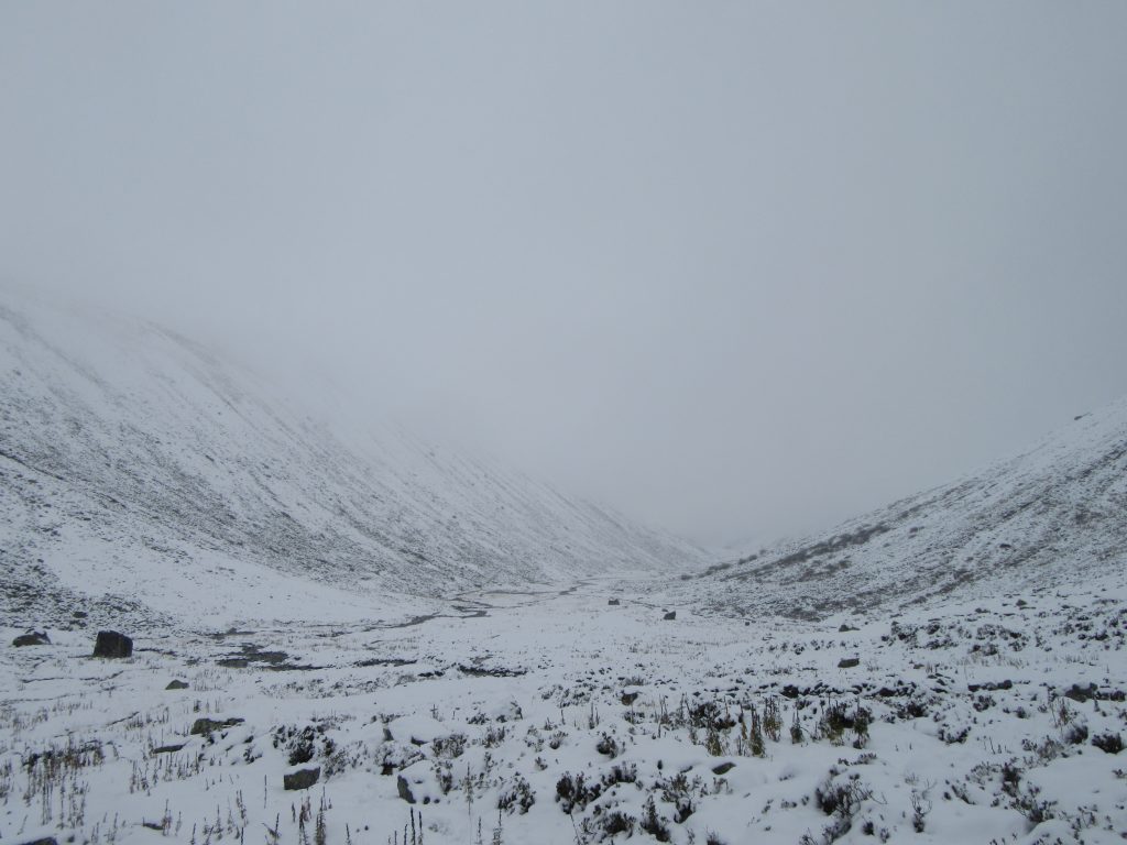
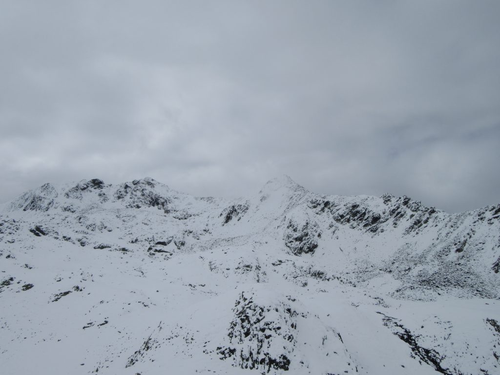
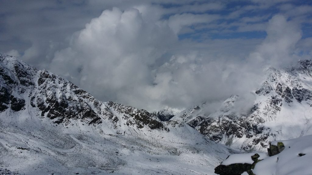
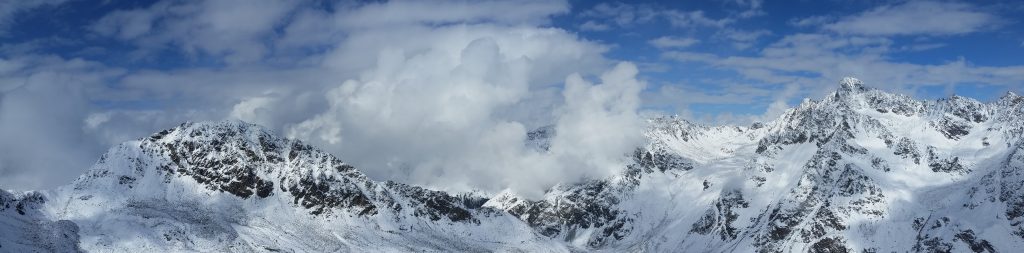
For a while we have been following the footsteps of two people, eventually under the worst weather conditions, blizzard, heavy fog we meet them returning. They explain where they were heading, got nearly lost and eventually decided to go back to Hollenzollernhaus. They suggest we follow the footsteps for a little while further, then think on our own. Fortunately the blizzard passes quite fast, and in around a half-hour more we split from their footsteps and improvise our way upwards. Gladly soon enough fog starts to dissipate and we see one local summit, which I’m pretty sure was Absatz (2604 m).
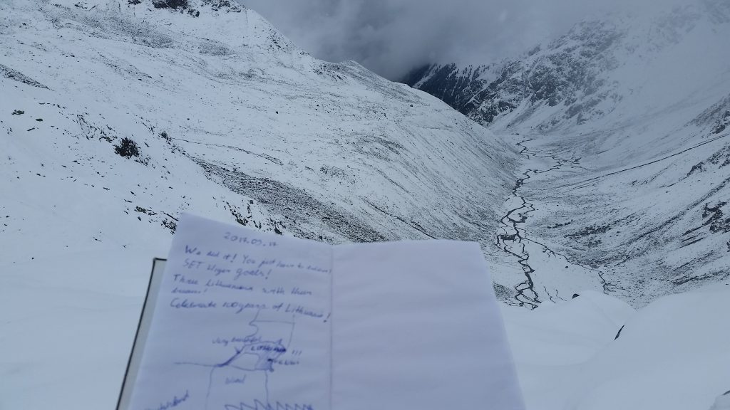
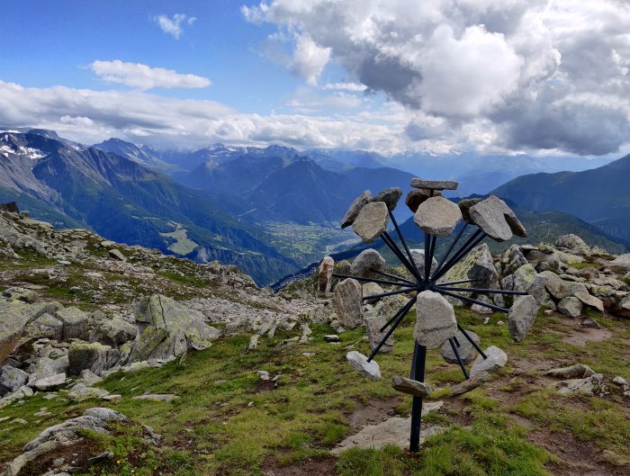
We make a break, eat, take pics and notes to secretly found notebook for hikers. Glockturm is hiding somewhere on the right of this valley.
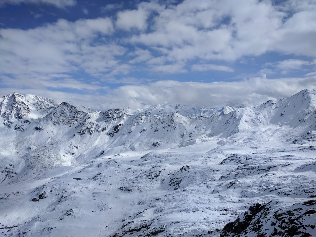
Clouds clear up
Sky is clearing up, and I set my self to use this day the the maximum. I suggest we head to another mountain in front of us.
Guys accept and continue to make new paths. Sun shines through makes everything white. That much white I did not see in my entire life. White snow reflects and at times it was even hard to distinguish edges in 10-20 meters in front of us where cliff would end and snow below would begin.
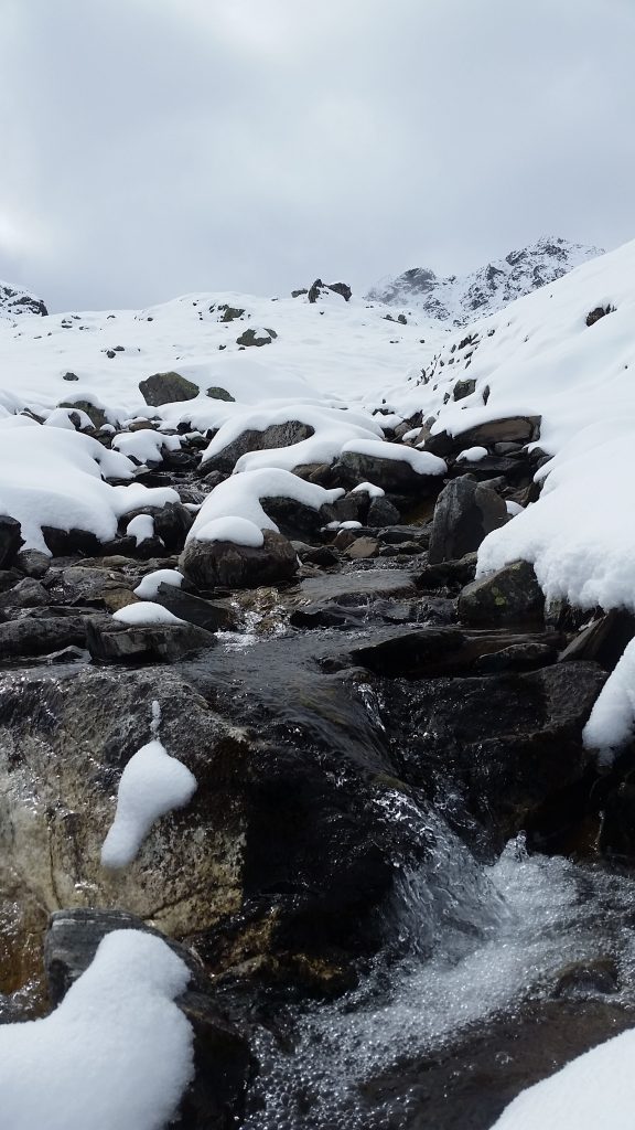
Refilling water reserves from the mother nature. Most delicious water is always in the mountains.
Then came a pretty difficult stage of huge rocks covered in snow. On every step you have to carefully watch your steps, otherwise you might step your foot 20-50cm between rocks.
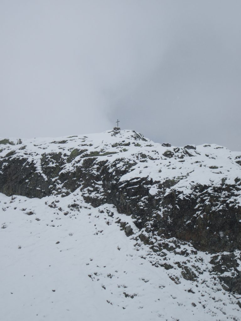
And just before the end, a really difficult steep stage, where I had to use all 4 of my limbs. It’s to the west of Absatz summit. Here I notice for the first time in a lifetime a darker than normally clear sky and hypothesize it’s because of thicker layer of atmosphere and lower angle of light refraction, which seems to be correct.
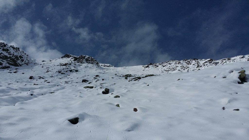
Half way to this tiring mountain we leave and bags, jackets and proceed without any supplies. ~20 minutes more we gladly summit something unmarked in the map, but supposedly around 3000 m in altitude. Sun, clear view makes everything you would hope for…
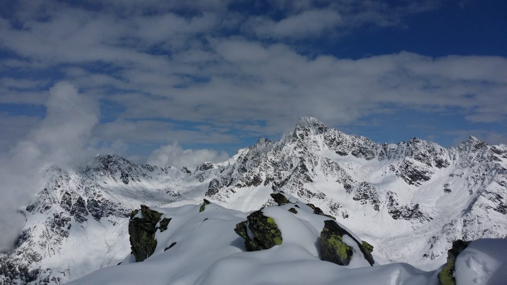
In at least 5 km radius you are alone. You, this small dust among these giants. Awe inspiring and breath taking. Smiles shine through fatigue on our faces.
Heading Back
Taking in mind the difficulty and ~5-6 km we walked away from your mountain refuge. My friends are worried we should be rushing to get back before sun sets. I agree and we carefully make our way back. ~500 first meters heading back was somewhat like climbing the ladder downwards. Slippery, uncertain what’s behind snow and very easy to loose control of your body. Tiring.
From Absatz walk is easier but still tiring, since you constantly have to be using “ABS” not to slip on the steps downwards.
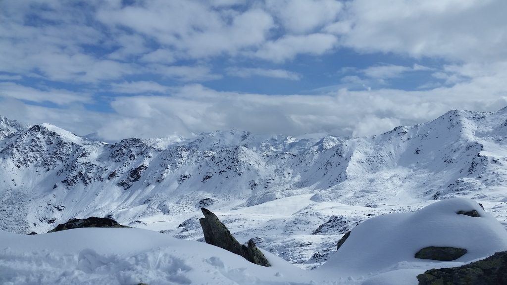
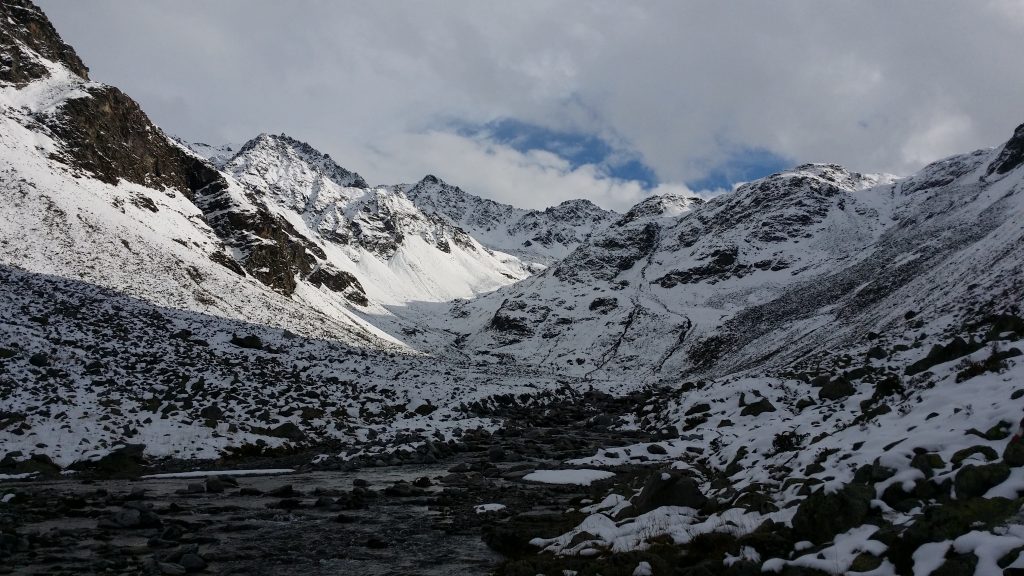
Some views on the return to Hollenzollernhaus:
Oh yeah, usually in the mountains trails are marked on woods, rocks, signs. Up there snow swallowed everything. So we made the trails our selves. Probably not the easiest one, but certainly more direct.
All dead tired, we finally have a chance to sit back, reflect upon a day and enjoy a wonderful broth at Hollenzollernhaus.
We plan the next day and after chatting for a while head to rest.
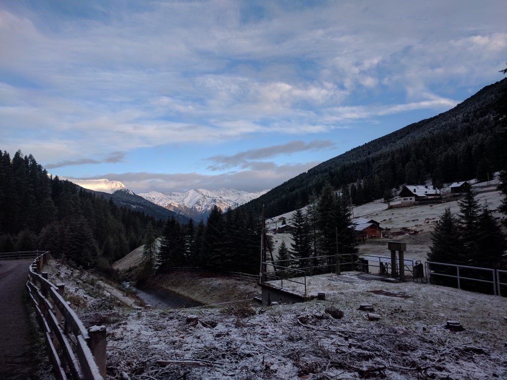
Next morning we discover a pleasant view north of the hut and start our decline to our car.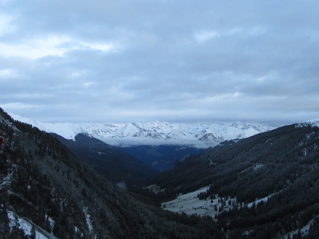
Views to Pfunds, yesterday hidden in fog are not available:
After reaching a car, we quickly change some of our clothing and rush to… Oktoberfest da bum, tss.
Octoberfest (Oktoberfest)
Since my friends were busy finding routes, metro stops in Munich I my part of driving. On an autobahn. Ford C Max (2016?) on a straight road hardly pushes past 190 kh/h. I convict a huge drag. Nonetheless in the valleys I was able to break my speed record and achieve 205 km/h while driving a vehicle.
Actual Oktoberfest was very similar to last year, when we finished Zugspitze trip with Munich as well. Despite the fact we visited tents from 11 to 12 o’clock most of the tents were busy with people. Lots of boobs, beer and wonderful energy inside. Definitely would like to see what’s happening in the evening.
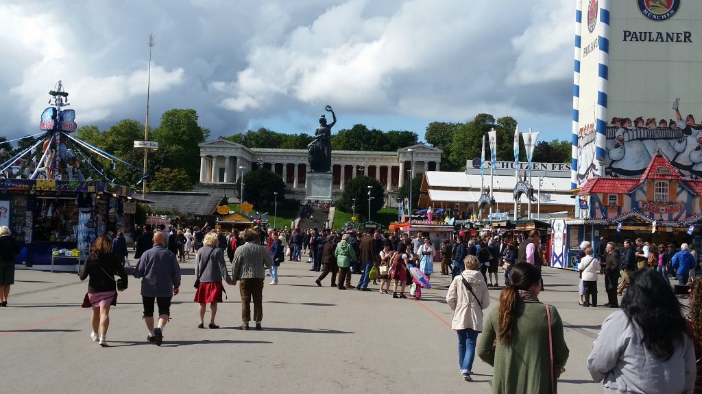
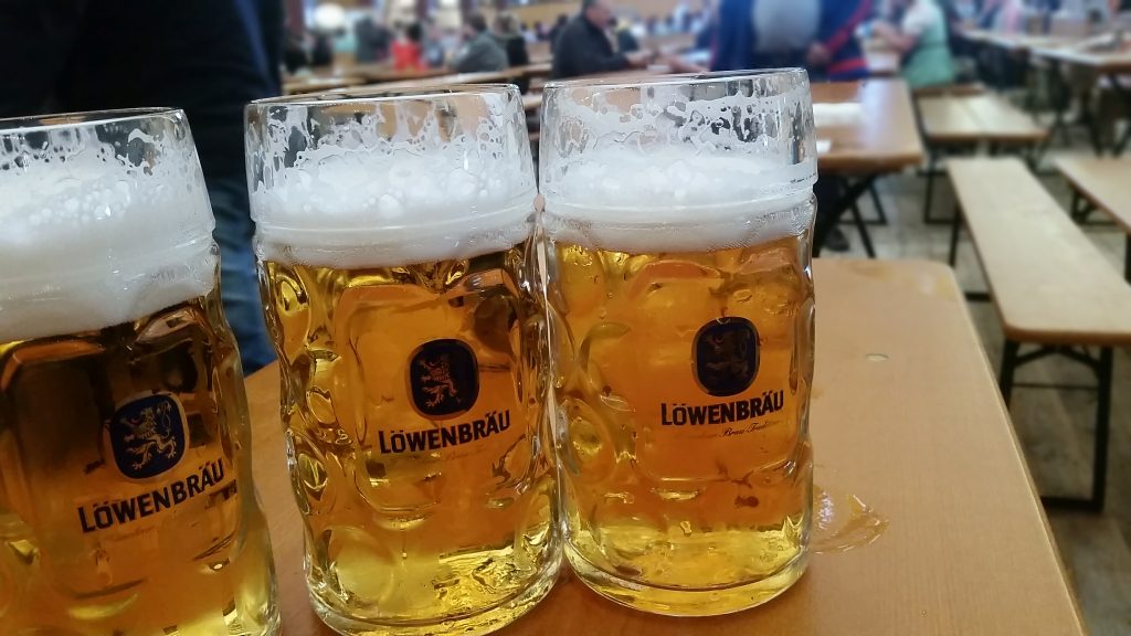
Feeling deserved. 3 tents, 3 beers. One hour.
Unfortunate and Unexpected consequences
Starting with the evening of the hike day, for the next 3 days my eyes were extremely red and later I noticed vision has worsened too. Gladly after half a week at home and some eye drops vision returned to normal (as before the trip). This might have been caused by the changes in atmospheric pressure, over drying of eyes, extreme physical fatigue, being in overly white conditions (sun+snow), not sure..
And.. after a week, when I changed one layer of my face skin I noticed two new small moles on my face. So… Thank you Alps.
Despite the fact we could’t summit Glockturm the weekend was awesome either way.
Leave A Reply