In 2023 September 8-16 the two of us hiked one of Europe’s most beautiful hikes – Alta Via2 in Italian Dolomites. That’s a challenging, but rewarding trail spanning somewhere between 160 and 175 km. When we researched the trip, several things were on top of the mind, so before diving into daily breakdown, let me clear those out of the way in case you are an efficient googler/banger.
AV2 Practical Things
Alta Via 2 Without Ferrata Gear
In our experience, via ferrata harnesses we not necessary and we were glad we did not take them. There are plenty of short distance ferratas with rails, anchors, steps in stone and having one hand at the rail eliminates the need for gear in my opinion. Of course test each section of steel rail, before relying part of your weight and balance on it.
Ferrata gear takes quite a bit of space and weight too. We did take work gloves however and it’s a nice addition. In morning/evening steel is cold, while during the day, palms get sweaty and potentially more slippery.
Most complex episodes of ferratas we tried to capture pictures, scroll through the article to find them.
What Weather to Expect (Clothing)
Season ends in mid-September. That’s what we read. Our first hike day was 8th of September and we ended on 16th. I can only speak about this period and regardless, this may have been an off-charts hot year afterall.
To our own surprise, despite most hike days being somewhere between 1500 and 3000 meters above sea, days were sunny and hot. We were actually battling sun burns with sun cream (I, personally got my both legs burnt in sun up to purple skin color, not having applied sun cream on legs for first several days. Honestly, we could not imagine hiking AV2 during summer heats.
Evenings get chilly, but before sun sets you are most likely already waiting for dinner at refugio. Starting mornings with shorts and T-shirt was entirely possible, but in shadow and without ascent workout its more cozy starting up with something warmer.
Rain is a thing of luck of course. We only got something like 4-5 hours of combined time of rain at the level you must put on a rain coat in order to avoid soaking yourself and contents of backpack Not counting hiking through clouds and few drops here and there.
Post trip I consider outer jacket was not necessary. T-shirt, hoodie, rain coat with thermal top/bottom having as a backup in backpack – should have been enough.
I would assume average day temperature on the trail must have been in 16-26°C range and 10-15 less for the night.
Accommodation, Lunch and Water
Tents may seem romantic, but we were here to work and conquer. And work is easier with your backpack at minimum weight. So at least for us – that was a priority; hence the nights at refugios. Most of them offer a dinner, a bed and breakfast as a standard deal for hikers. We were paying between 60-90 Euros a night per person, depending on how remote refugio is.
For lunch, we packed two kilos of nut-raisin mixes and bunch of protein and simple bars. Occasionally we would take or share a meal during the day at the refugios we were passing by.
Wifi/mobile data in mountains can be spotty. So have several hundered in cash just in case. But at all refugios we stayed we successfully paid by card. And we didn’t met a lot of people who did not book their nights in advance. We did not book any nights and were fine, although some refugios were quite crowded, while the others were empty. This provided us with flexibility to adapt our day schedule on the fly.
Our combined capacity was above 1,5 liter per person and we could not avoid purchasing water at trek highs, unless you are okay drinking rain water. At lower altitudes there are occasional refill spots.
Navigation
My friend had purchased premium version (30 Eur at the time) of AllTrails app, with offline maps of whole Alta Via2 trail. Both had offline Maps.me maps for the region and me personally had downloaded .gpx for AV2 from here; .kml by another blogger chick from here and a viewer app for both.
Combined effort proved more than enough – no need for paper maps. Alltrails app was particularly useful in its altitude profiles, visualizations. We did get off the trail several times, but mainly due to our own fault.
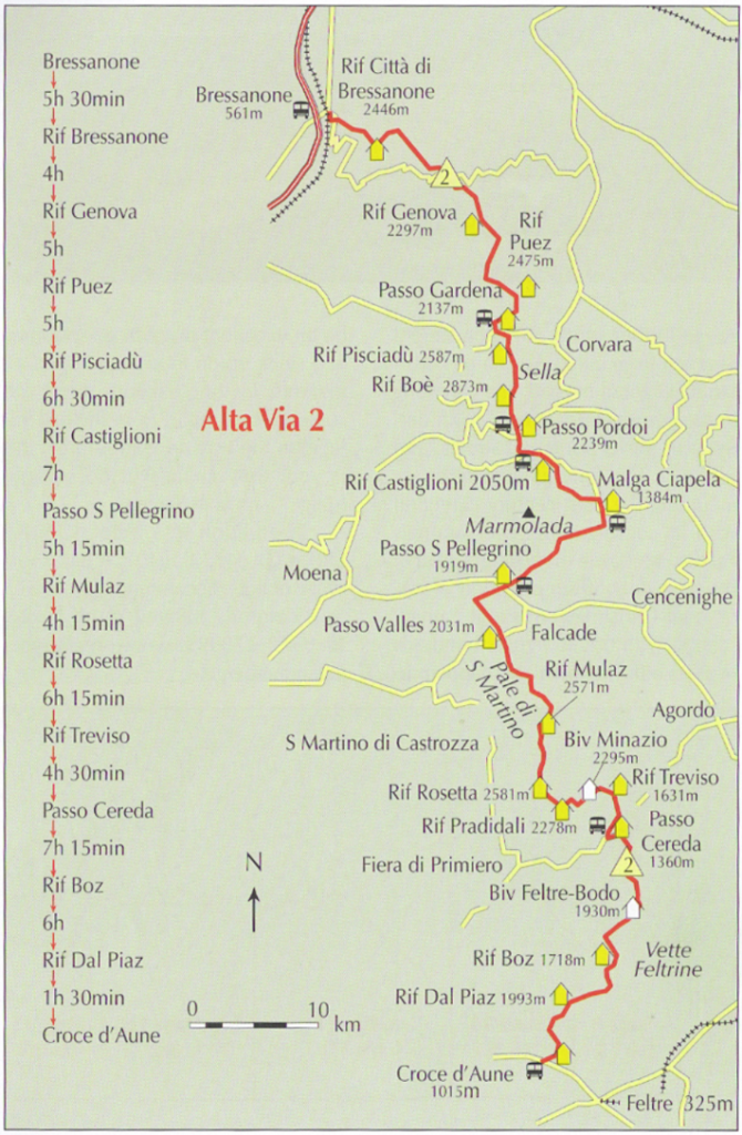
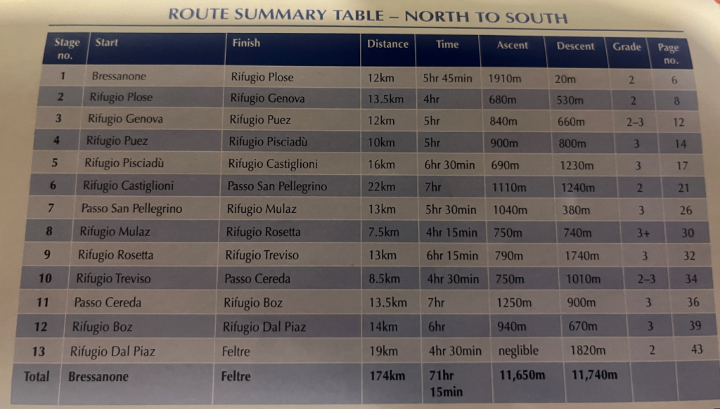
In case you are fuzzy on the route, you can always count on refuge owners wisdom. Those old wolves know their land well. We also made several deviations from official AV2, more details in daily breakdowns below.
Our AV2 Hike Stats
My friend had one of those smart watches. He kept a tight watch when we start and end our work days. Here are the days:
| Distance, km | Ascent, m | Descent, m | |
| Day 1 | 16.77 | 982 | 705 |
| Day 2 | 26.04 | 1739 | 1457 |
| Day 3 | 18.93 | 927 | 1460 |
| Day 4 | 24.03 | 1139 | 1265 |
| Day 5 | 24.39 | 1928 | 1255 |
| Day 6 | 13.3 | 639 | 1576 |
| Day 7 | 10.26 | 782 | 1028 |
| Day 8 | 15.72 | 1338 | 979 |
| Day 9 | 19.96 | 770 | 1914 |
| Total | 169.4 | 10244 | 11639 |
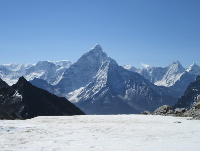
Alta Via2, with this pace was definitely the most hard hike I have ever done so far. A natural comparison arises with our previous Three Passes Trek. In Nepal altitude was the limiting factor on breath. In other hikes – it’s hard in different ways, but here in AV2 we worked 7-11 hour days and for the first time limitations arose in leg muscles, joins, feet due to sheer volume of tear.
Our base plan for most of the days was: let’s go to next refuge and will see from there. For absolute majority of days, that was a lunch pause, not the finish for the day.
And it’s my first hike, where I say with certainty – I do not recommend AV2 as your first hike to the mountains.
Grim so far? Fear not, rewarding views are almost here.
Day 1: Logistics to Brixen / Bressanone and Hike to Genova
In half days time we managed to get from Milan Malpensa airport to Brixen by taking train to Verona. Another Train from Verona to Brixen. Bus from Brixen to Plose Cable Car. Gained a starting some altitude and started walking (around 13h) towards second refugio and a first stay in AV2 – Refugio Genova.
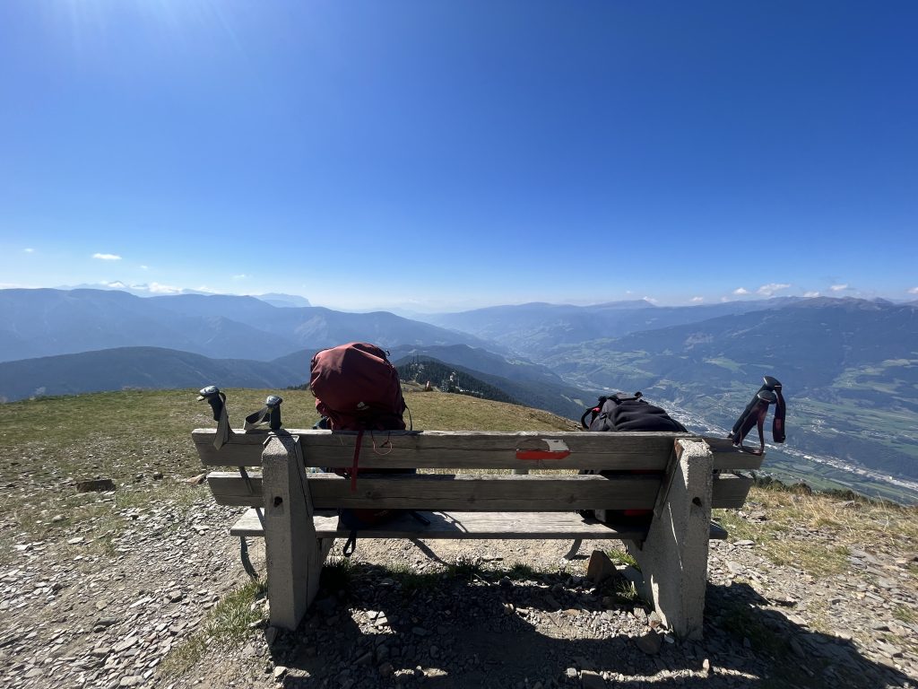
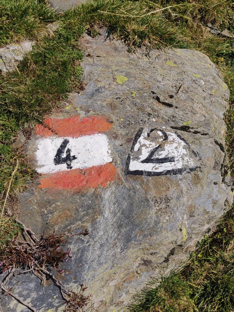
Trail markings:
Day 2: Peak Intensity Day to Pisciadù
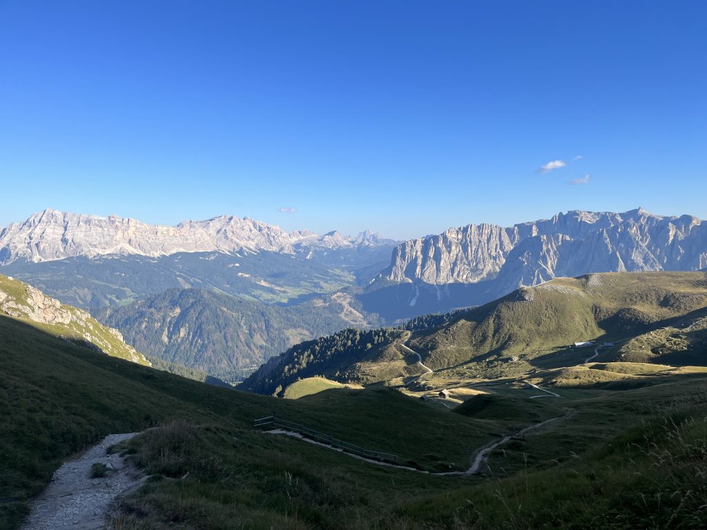
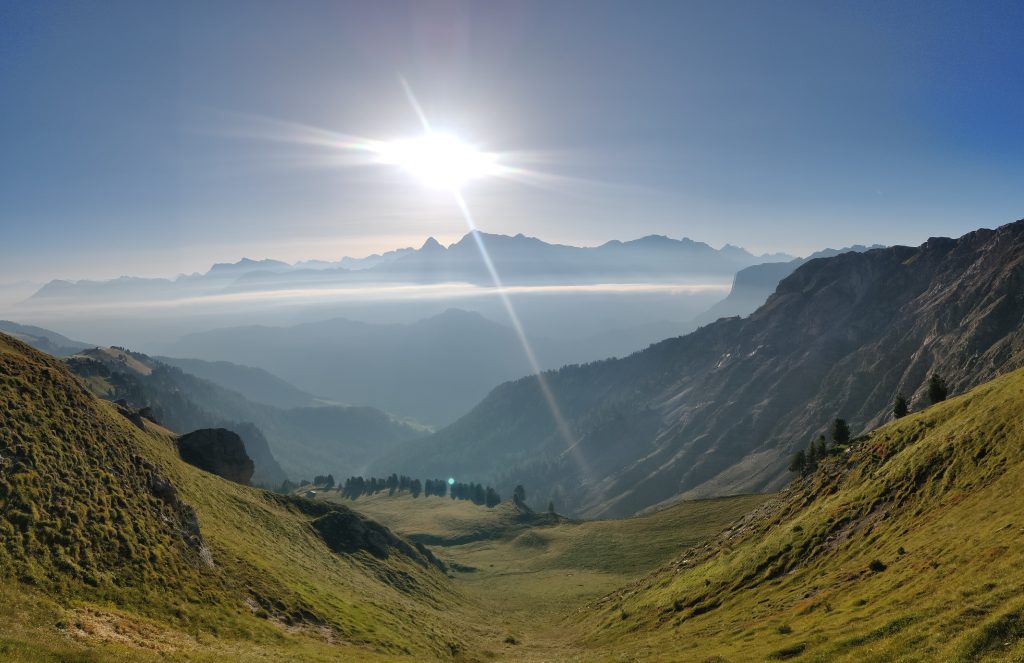
So finally, a full day to test ourselves against Italian Dolomites. Mornings and evenings provide a different scenery to same rock.
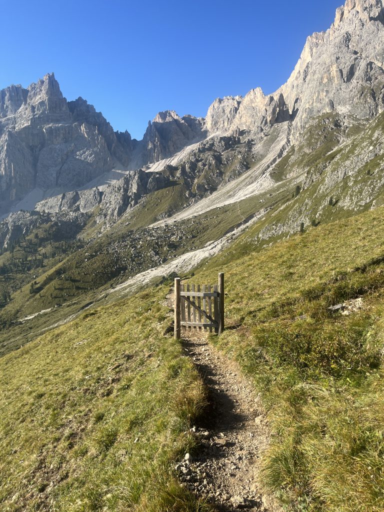
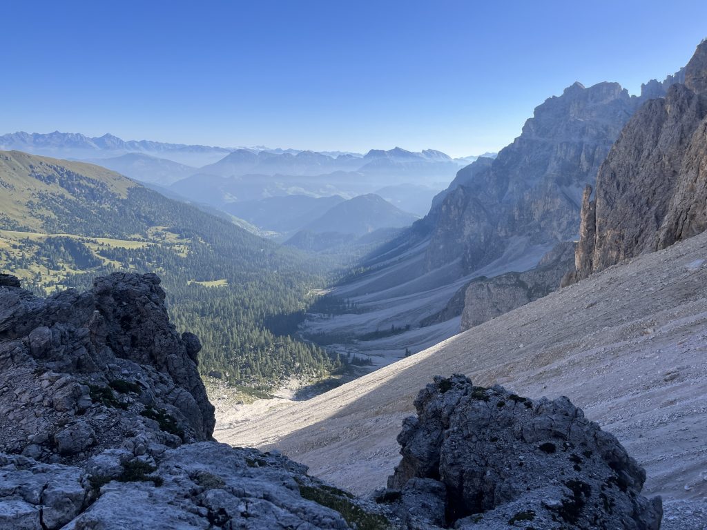
What puzzles in the mountains is always the scale. The trail goes around the corner at hill with green top, but to get there – it’s at least 1.5 hours.
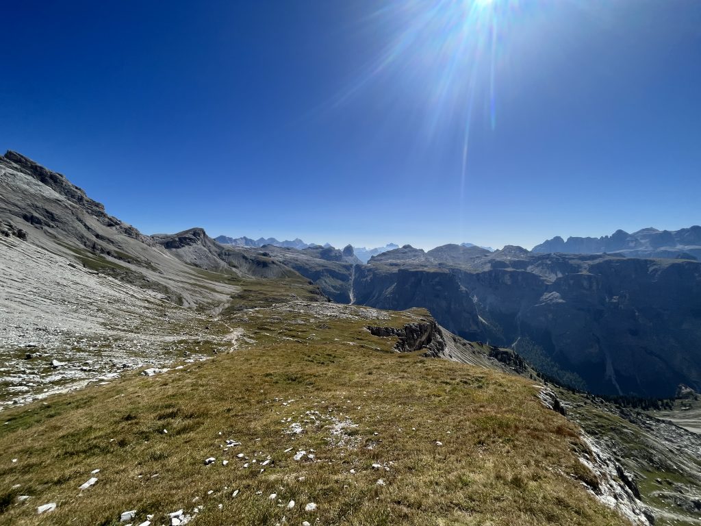
We were already a bit tired from sweating in intense sun without strong winds and shadow when we got to Refugio Puez, but had no illusions of stopping there. Later we heard – because they receive a lot of people, customer service is shit. I got ghosted by waitress there too, although I’m sure she heard my question.
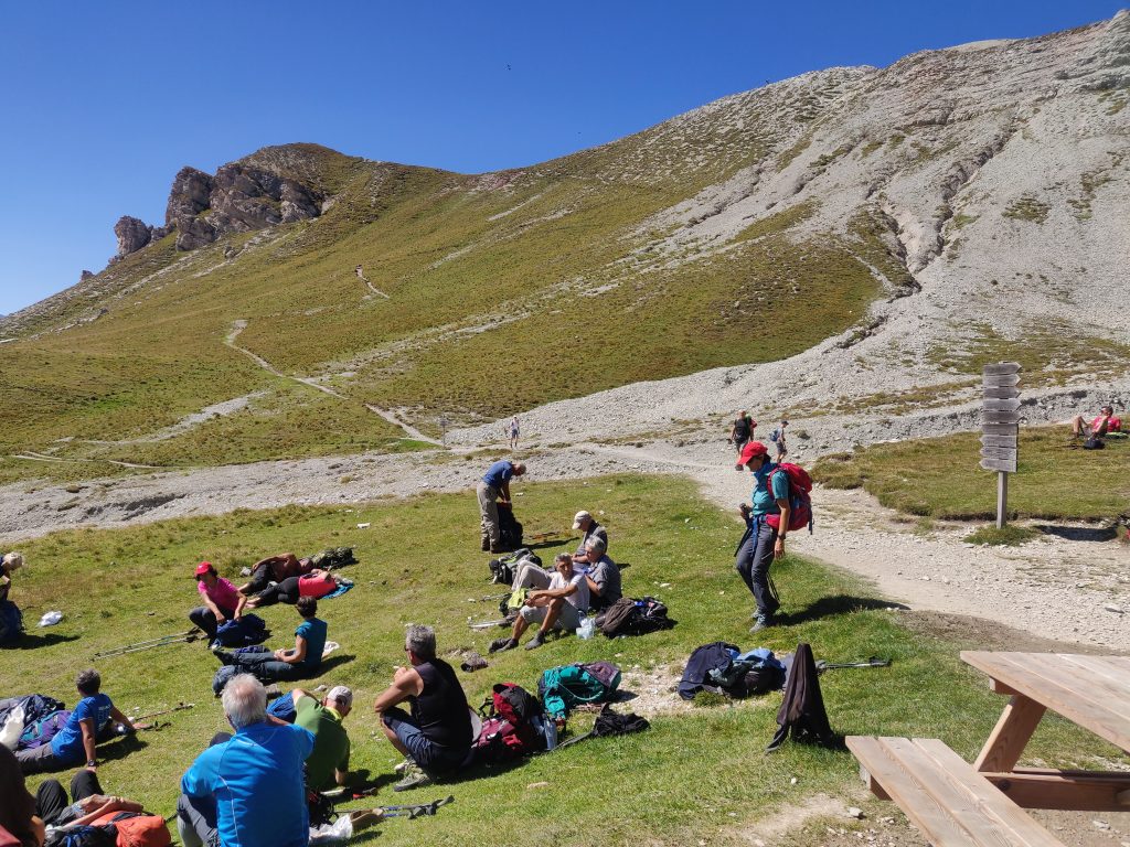
After half hour break – on with it.
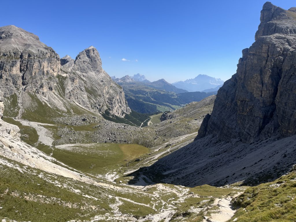
When we reached town near Passo Gardena, there was a strong desire to stay there. We already did a solid day at that point, with at least 18km and at least +800m up. But this was a test day for us. Against the giants. So we pushed to refuge on the other side of the valley – Pisciadù. On the way there, I think it was our first via ferratas and incredibly difficult nearly 1km non-stop ascent in varrying steepness.
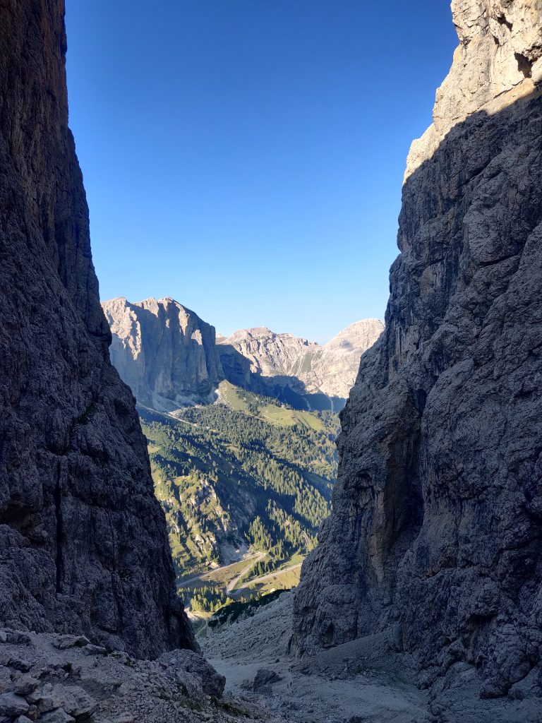
Looking up, see the speck on the right? That’s a dude headed down.
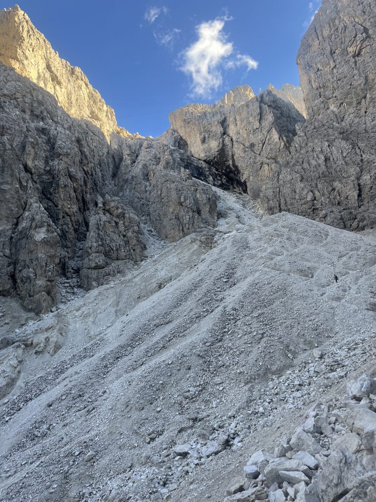
After more sweat, looking back where ferratas dissapear
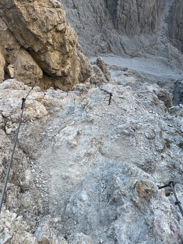
After 26km and +1700m day, we are dead tired, but received a present at the refugio Pisciadù. We made it just in time for the dinner, which is often 18:30 or 19:00 in refuges.
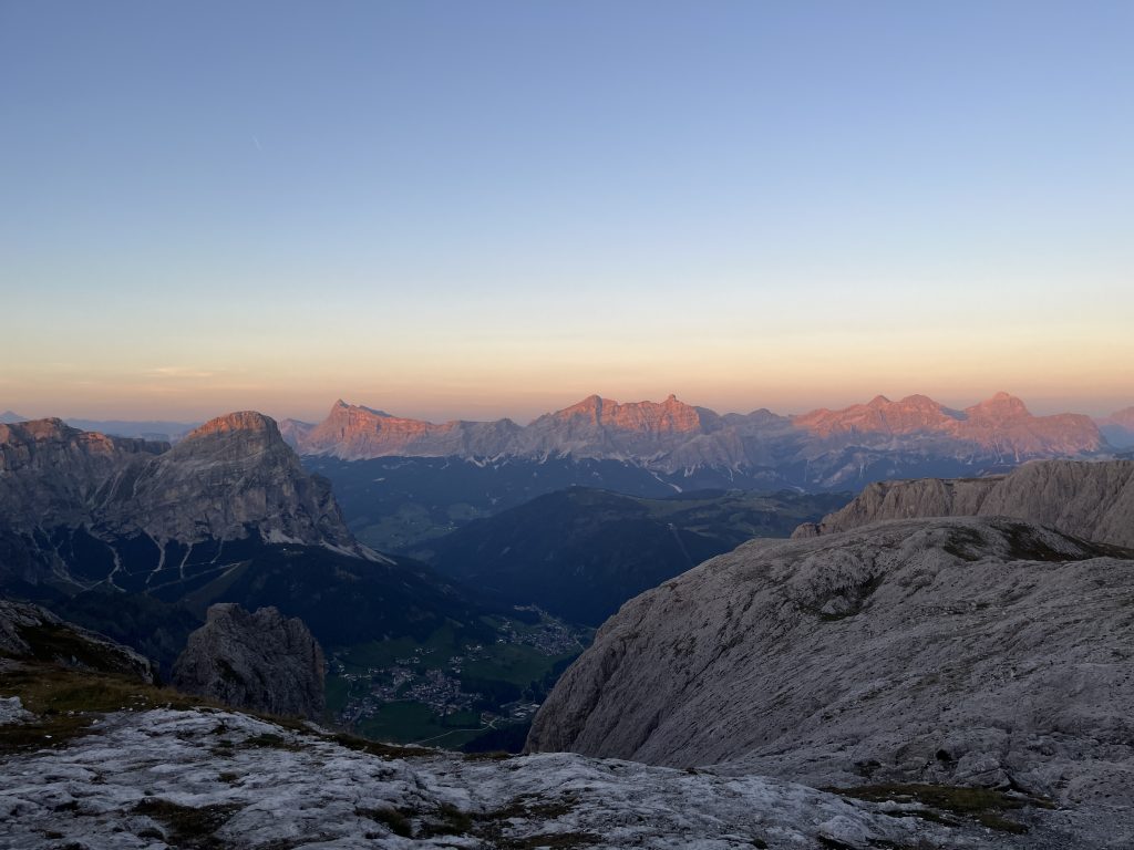
Day 3: 19km “Rest Day”
After that steep ascent yesterday evening, onwards we started our morning with another steep’ish ascent. Surprising to us, it was rather easy.
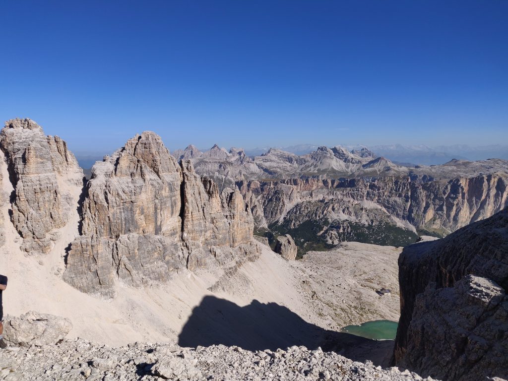
At the ridge we could look back at our Pisciadù hut at the lake from atop and afar. At that point started what we called “Mars Canyons”. Just vast amounts of grey space, nothing green. Rocks, dust and wind.
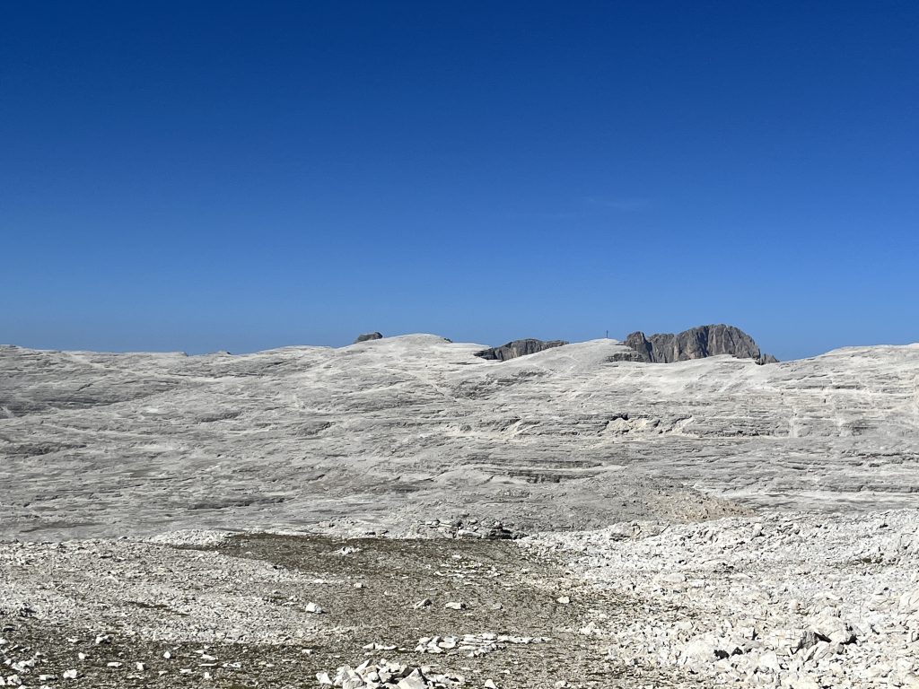
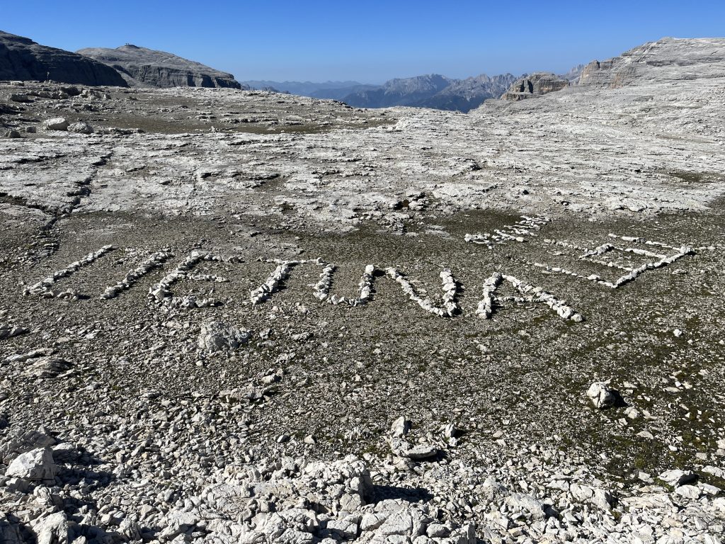
Found markings of other Lithuanians
Ups and downs, not little ones tough. ~500m ones. And towards the end of the day after switching several sceneries we landed at refuges near Lago di Fedaia.
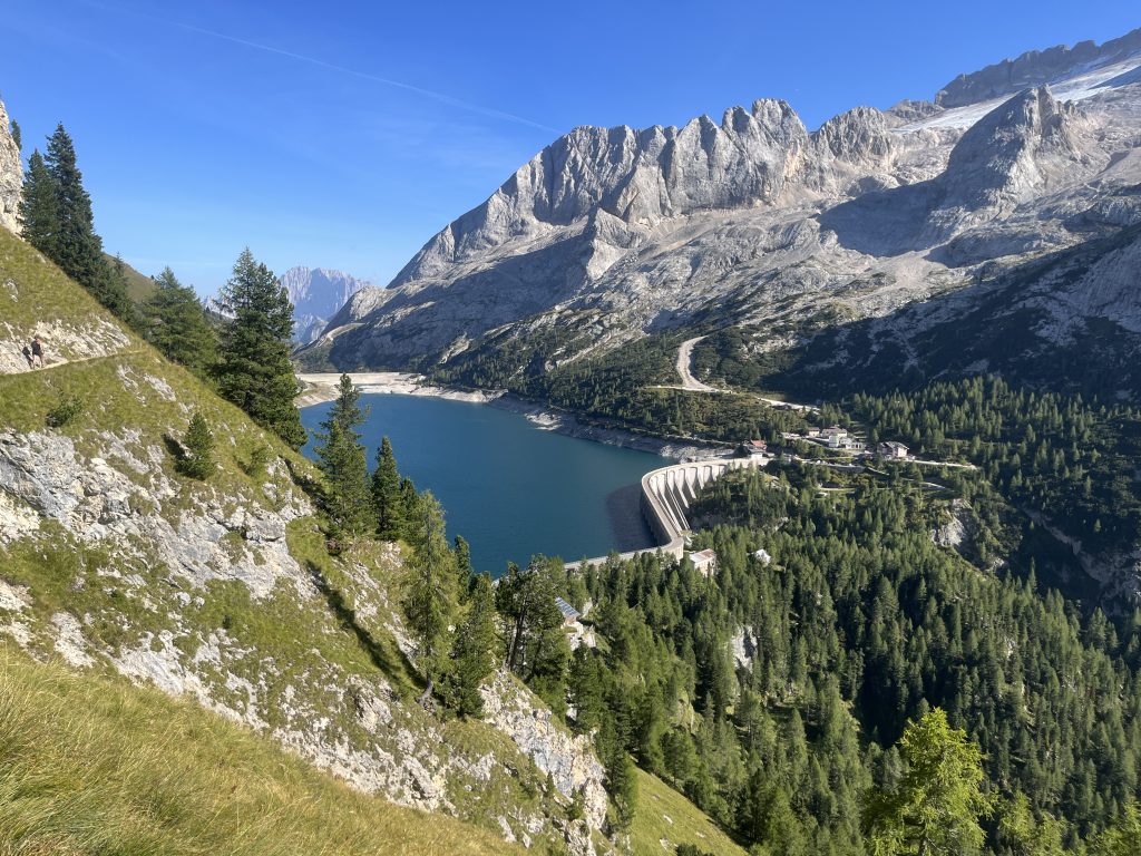
Plenty of selection here, little people, great prices, free warm shower, evening spritz, evening discussions with fellow hikers from US. And a timely observation that tomorrows path splits into three (see .gpx file). Unless you got crampons – don’t take the middle one – you will be sliding on a Marmolada glacier. Refuge owner said both left and right are similar. After some thought we decided we’ll take clock-wise approach around Marmolada.
Day 4: Around Marmolada to San Pelegrino
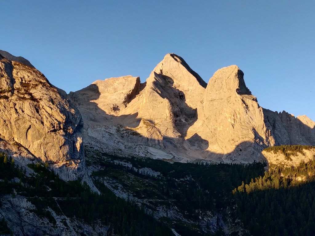
There’s no avoiding it. You climb up only to go down later. And you go down hard just to sweat more to gain those meters back. The way back was along the skiiing trail.
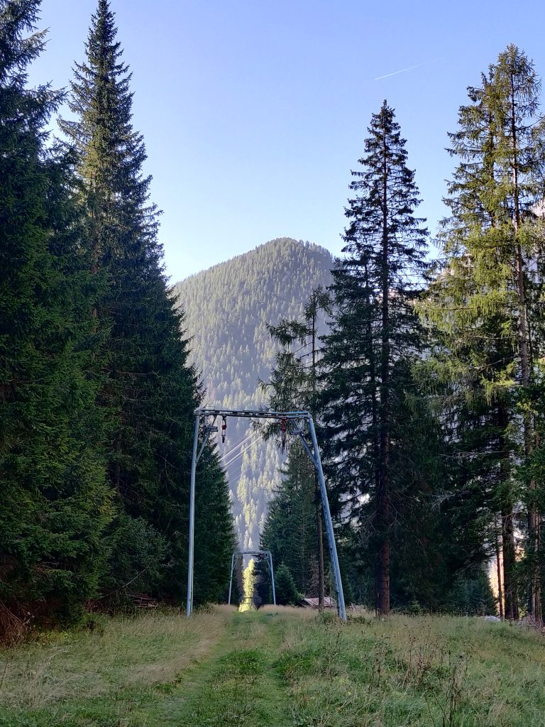
The ascent for the day, around 1km up this time was almost all in one take. No flat, only up. Continuous sweating. After we made some gain in forests, we took a quick shower under ice cold wild river waterfall. There are no pictures from the grind, I remember I was really pissed. At the saddle, we finally got another valley to look at least.
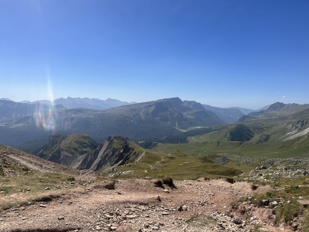
And looking back:
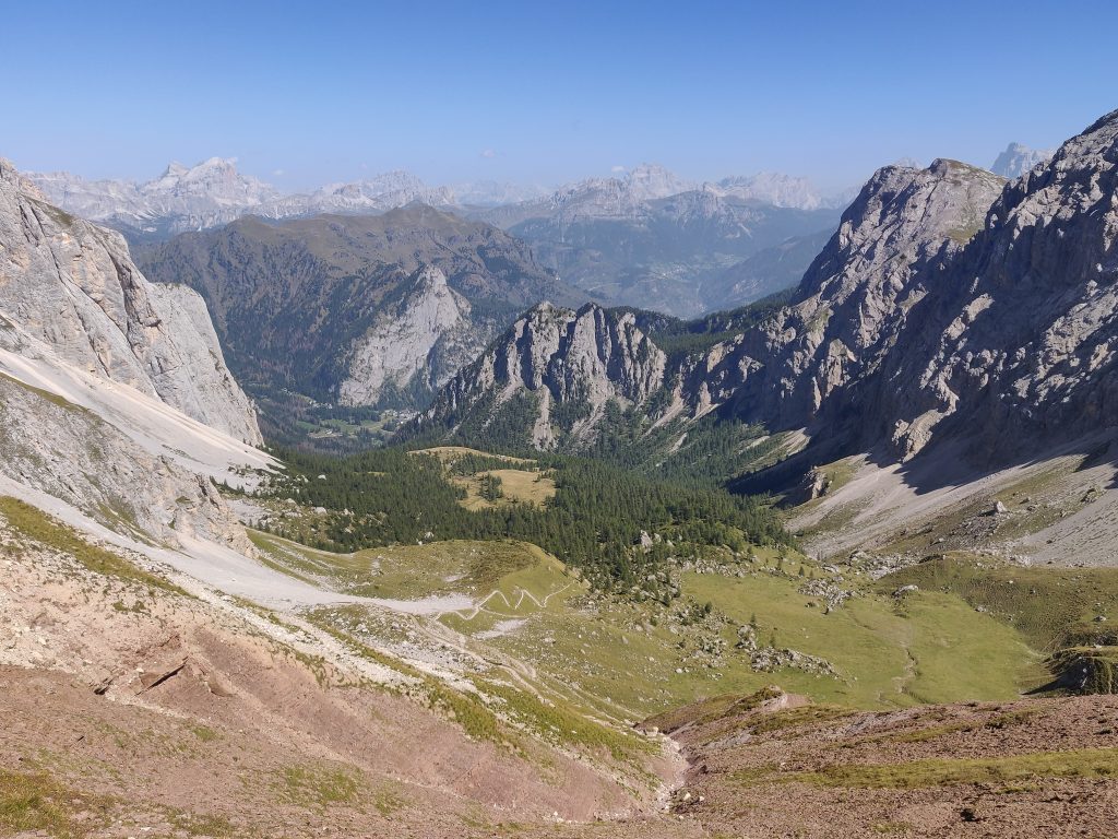
These mountains in deed have have as well.
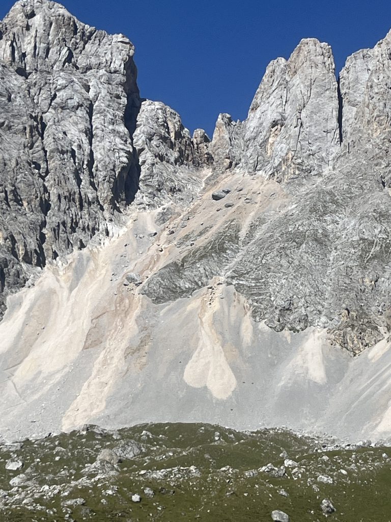
After pleasantly going through flatish grasslands for couple of hours we reached a chill-town before our final destination for today – a symbolic half-way – San Pelegrino.
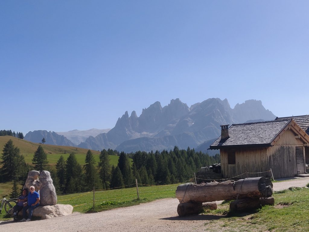
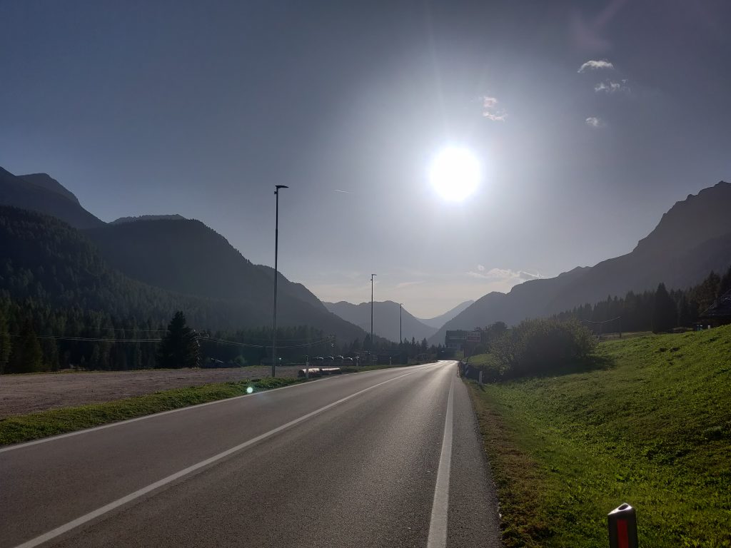
I’m not quite sure where “official” refugio for San Pelegrino was, but we arrived in this ghost town and were happy with the first hotel that worked off skiing season.
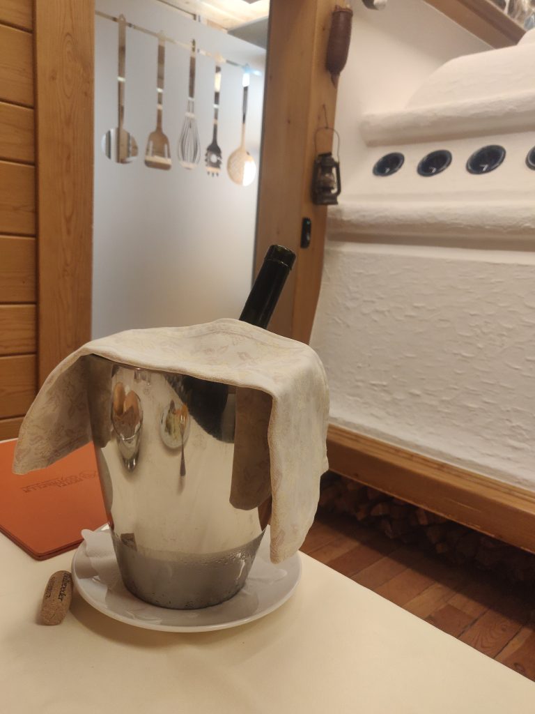
This was a treat for us, with fancy dinner, lots of jokes and a comfy bed.
Day 5: To Mulaz? Why Stop? Cool Ferrata on Way To Rosetta!
Roads are in the valleys. Day always starts up. Through forrests, cows. Trees shrink down in size until they disappear.
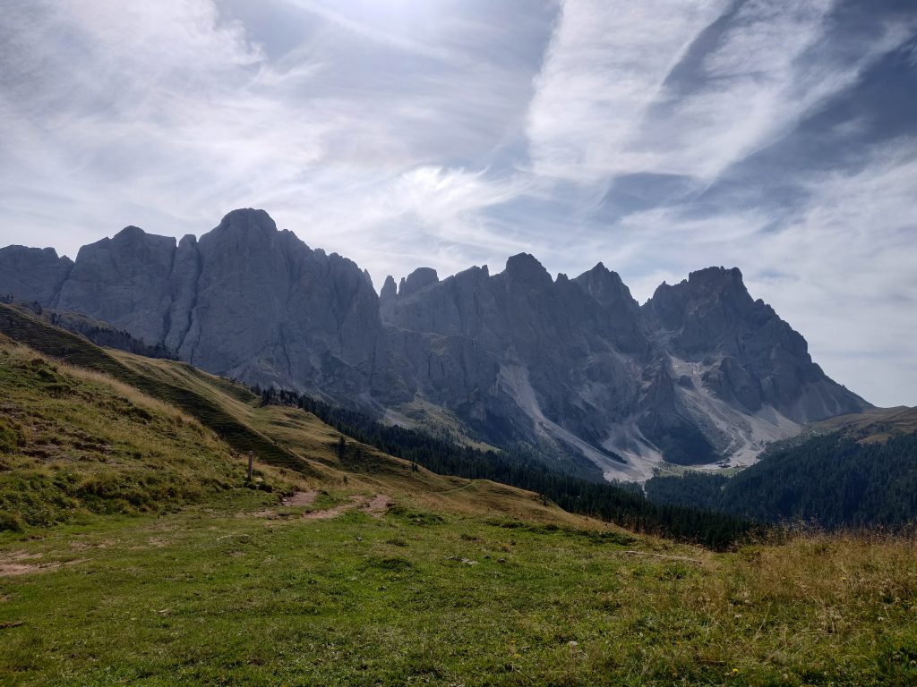
For both of us, these two made an impression of non-local nature.
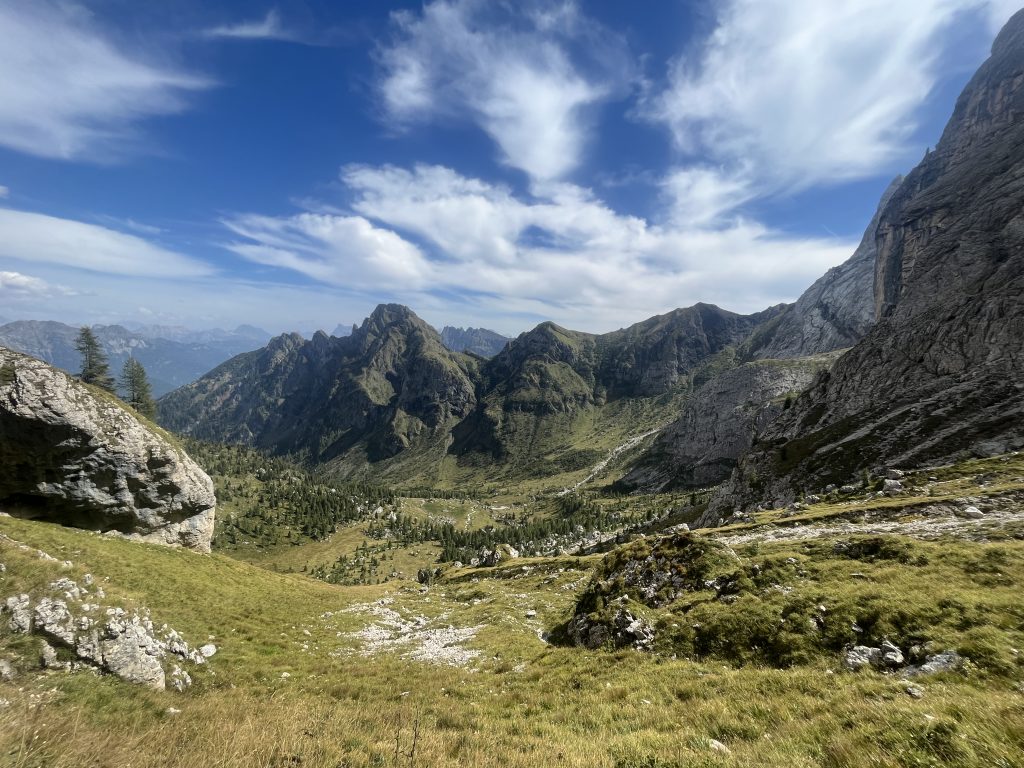
Via Ferrata to aid a steep climb towards Refugio Mulaz:
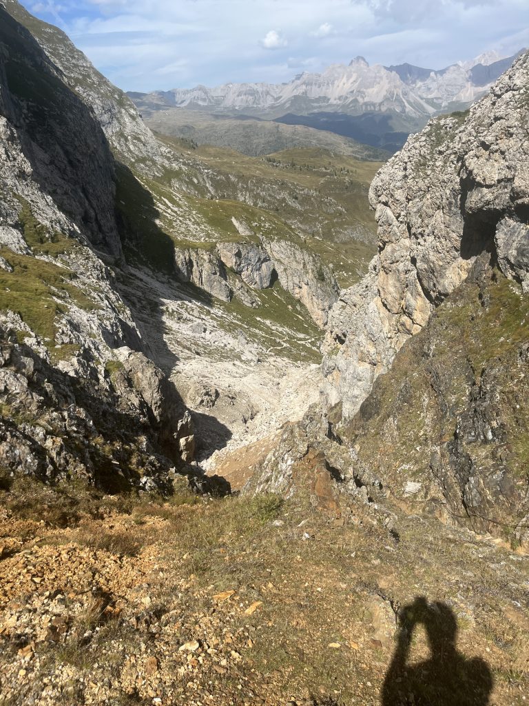
Ferrata cable on the right
When having lunch we decided to push forward despite possibly having already climbed near 1km up at that point. It was still plenty of daylight, good weather and after lunch we recouped some of lost energy.
So why not sleep at Rifugio Rosetta we thought?
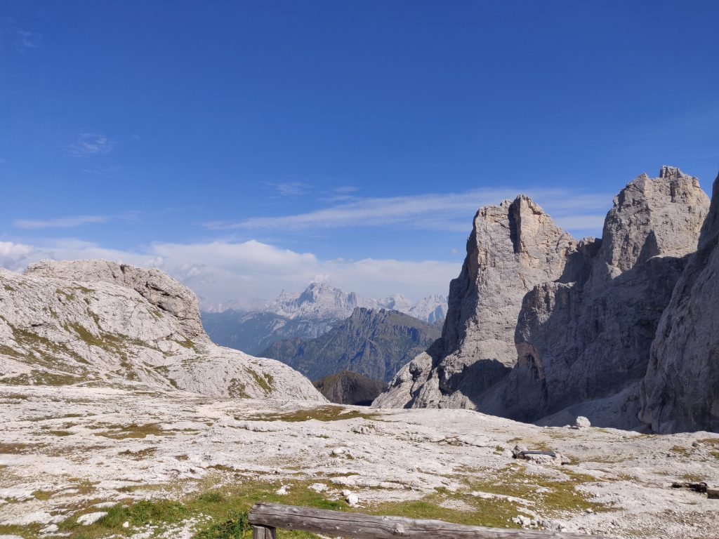
Start with another climb to push yourselves over a saddle to find another canyon. The path further led us in the middle sky-blue gap.
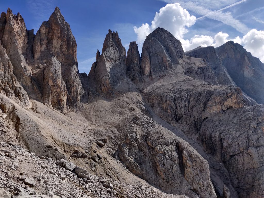
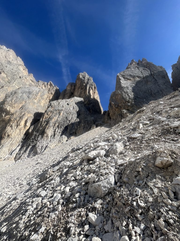
Looking back, lots of moving rocks behind our feet already passed. The next part was probably the most interesting and exciting ferratas for both of us.
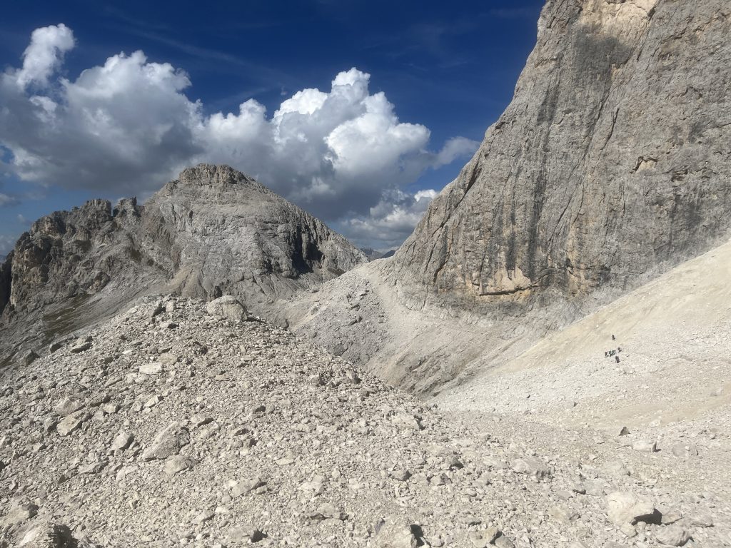
Getting up there required four-wheels drive. From larger rock to larger rock. The ferrata cable was there, but maybe after the winter, the gap opened, we found it easier to go in parallel – our own way.
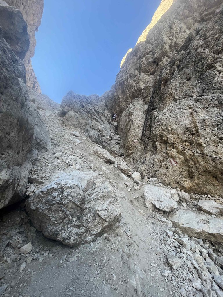
Descent from this saddle was like-wise fun. Luckily ferrata cables to the rescue and first ladder!
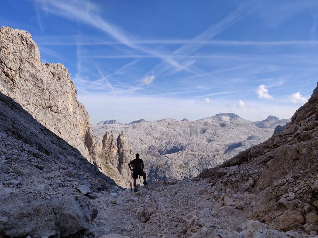
Naturally, on the other side, there’s lots of going down, but with damn beautiful and once again – unique landscape.
Then came a loong walk on a side of a mountain, with sun leaving us for the shades. Plenty short distances ferratas. Some were not neccessary, the other times we found – it would had been nice to have a firm aid, but there wasn’t one.
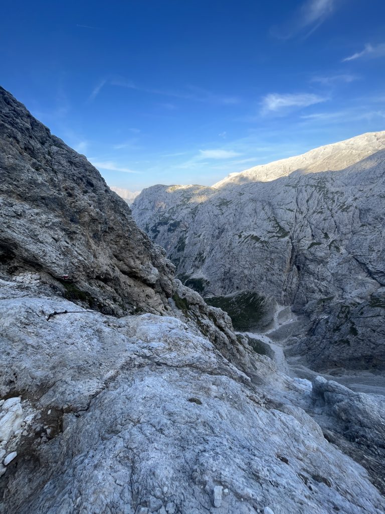
This is definitely helpful.
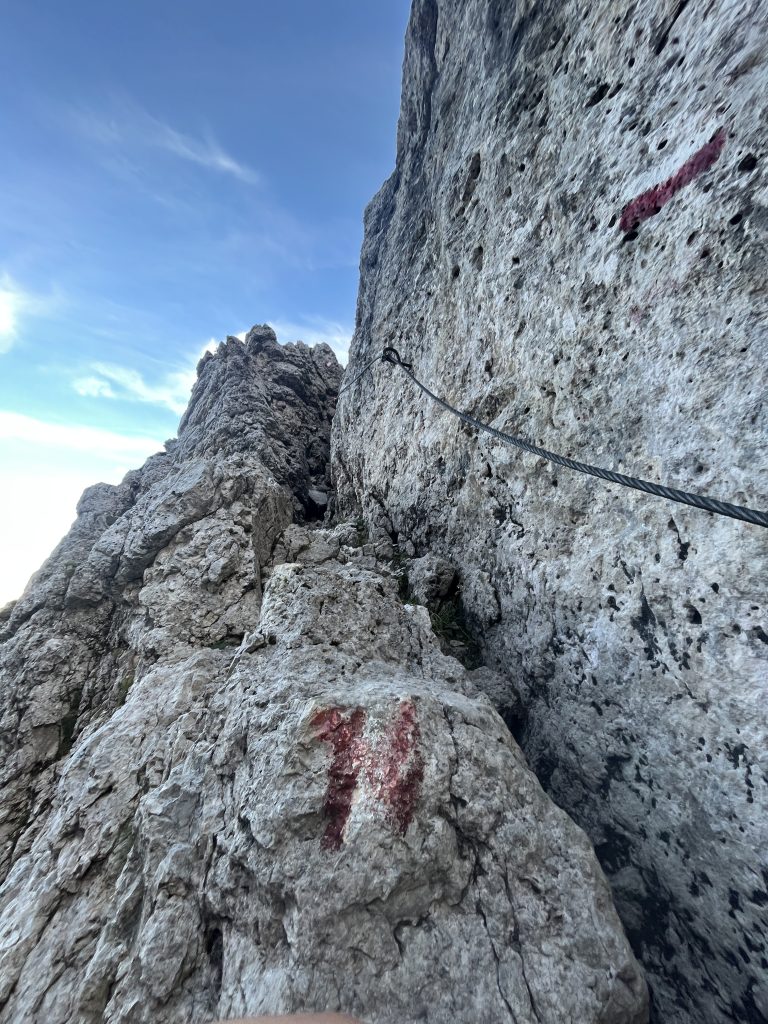
Evening turns on the lights. We found this view very Nevada-like, despite the fact none of us having been there.
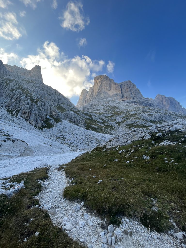
Just before Rossetta, there’s like +300m final “boss” for the day. After work is done, always worth taking a look back.
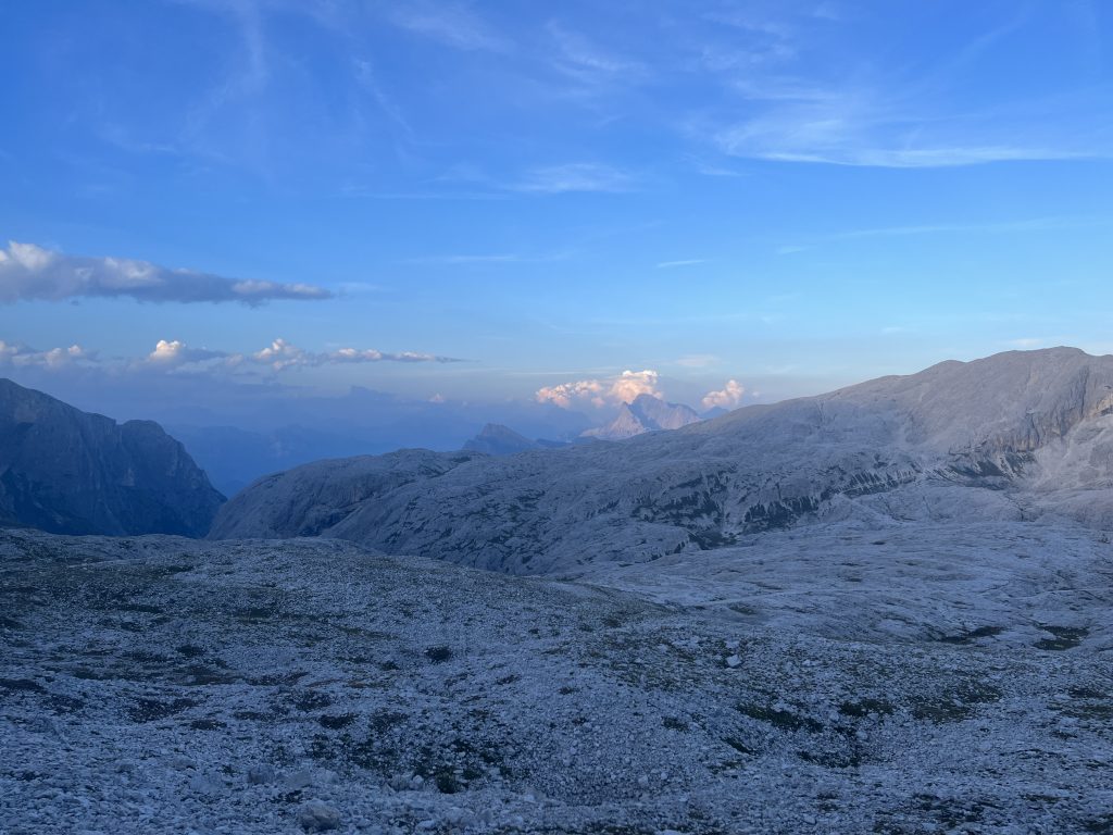
24km, nearly 2km up, 1.2km down day finally done. Tired and happy we found new home for the night. Wine, talks – casual evening in refugio. Rossetta is fairly close to skiing cables and other trails intersecting with AV2. Lots of people doing different routes.
Planned Detour to Rifugio Treviso
We found this meal – plastic thing with map useful planning out next day:
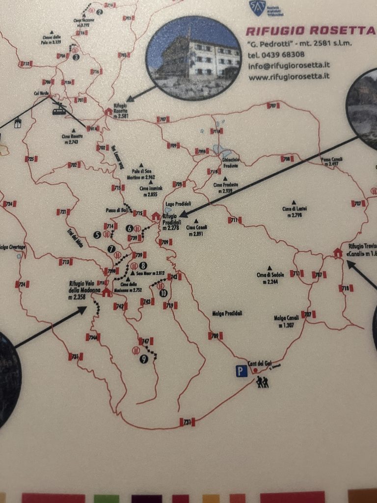
This a regional hiking map, but some of the trails were actual for us. We were at Refugio Rossetta and our next stop was – Refugio Treviso. “Official” AV2 trail leads through Pradidali. So as you can see on a map we skipped one “laddered” part – via ferrata and don’t know the difficulty on that one.
We took 709-711 trails.
Day 6: Cloudy and Rainy Descent towards Rifugio Treviso
We kept a close eye on forecast. The reason we have been rushing, was to minimize days like this one. Chilly morning, sleepy mountain tops above the clouds.
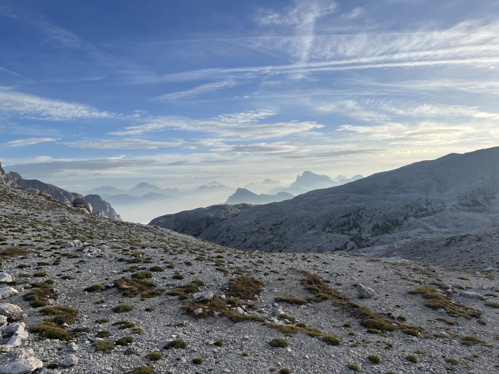
Leaving Rosseta behind:
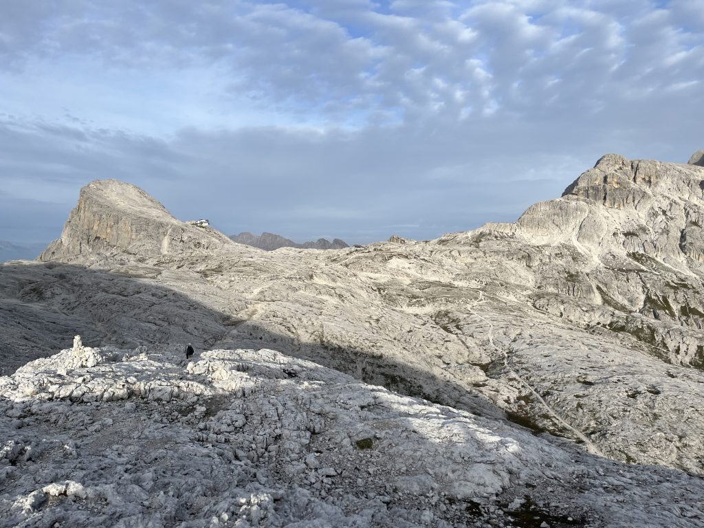
Poor glacier will be soon gone.
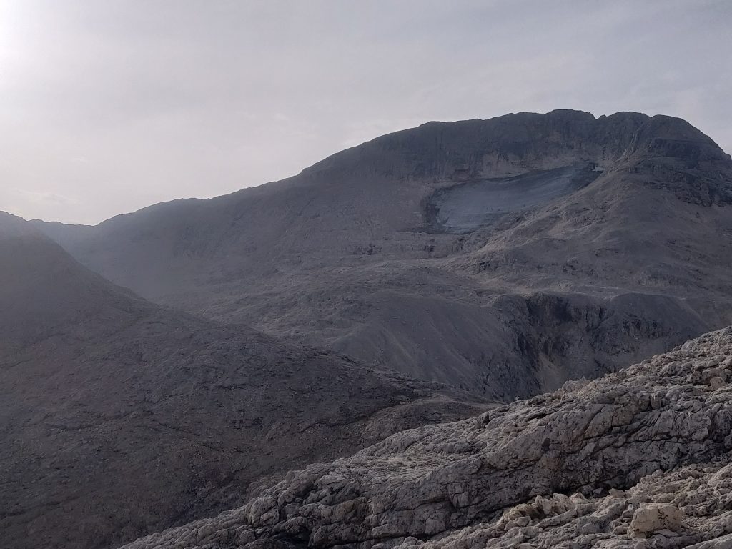
This.. is just gorgeous.

And finally the cloud hit. Without a heavy rain, it’s exciting actually. After 5 days, new atmosphere, whole experience changes.
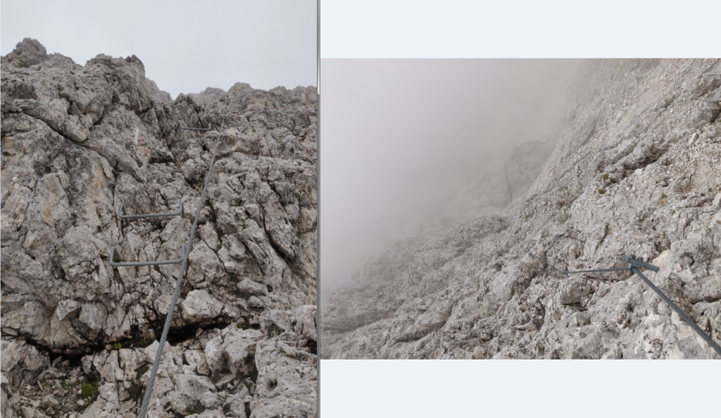
709-711 trail split marker is in the opposite way of walking direction – we missed it and had to go back, thanks to unlikely encounter with 3 British kiddos actually. Beware if you follow this route.
Rain finally caught us. First – jacket, then eventually – raincoats.
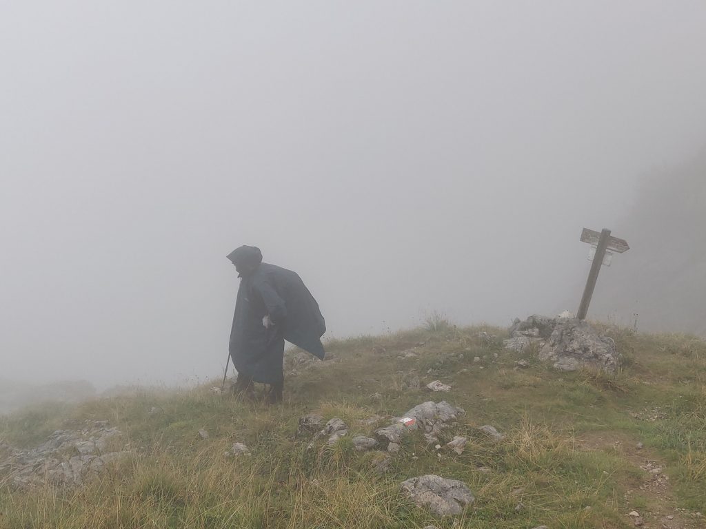
By the way, for first time, on this day we encountered remote refuges-shelters. No personel, no heating, no water, but several rooms, bunk beds with mattresses in plastic wrap, some medicines, drawings, table, coffee.. Shelter to hide from extreme weather. Very cool. We stayed there for ~20mins until the heavy rain passed.
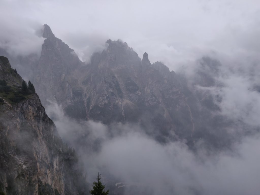
This day was really hard on joints and breaking (ABS) muscles, total days’ descent was nearly 1600m. After we crossed the river, refuge was relatively close, +200m perhaps.
Eventually it stopped raining. Though it seems remote, we were surprised by how many hikers gathered in Treviso.
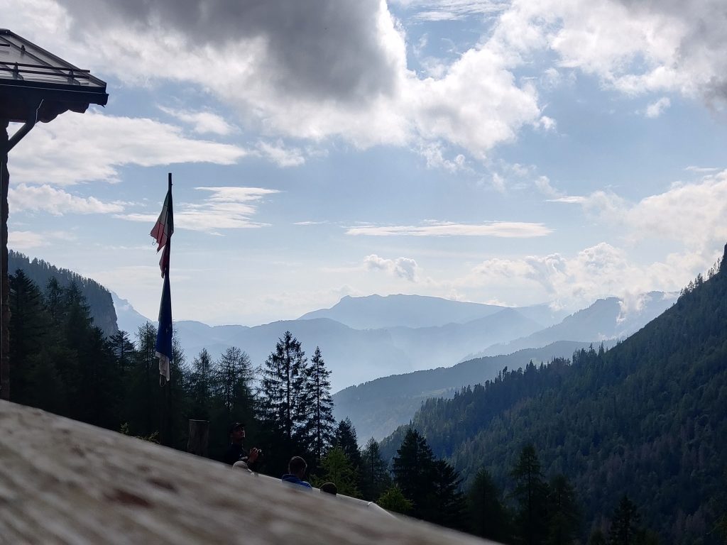
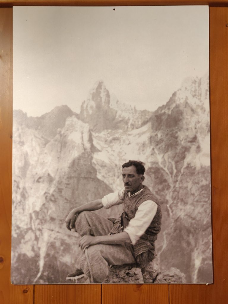
By the way, pictures in refugios are epic. Humbling, considering all the modern gear we are equipped before challenging the giants.
Day 7: Weather Imposed Rest at Cereda
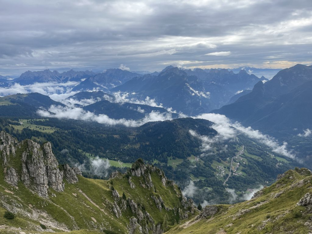
No rain to start with, that’s a positive, but forecast shows rain in the afternoon. Plan as always – next refuge, see from there. +500 through forest and rocks. The landscape that we got after climbing the nameless(?) pass, at least for me, was the most beautiful thing of the whole Alta Via2.
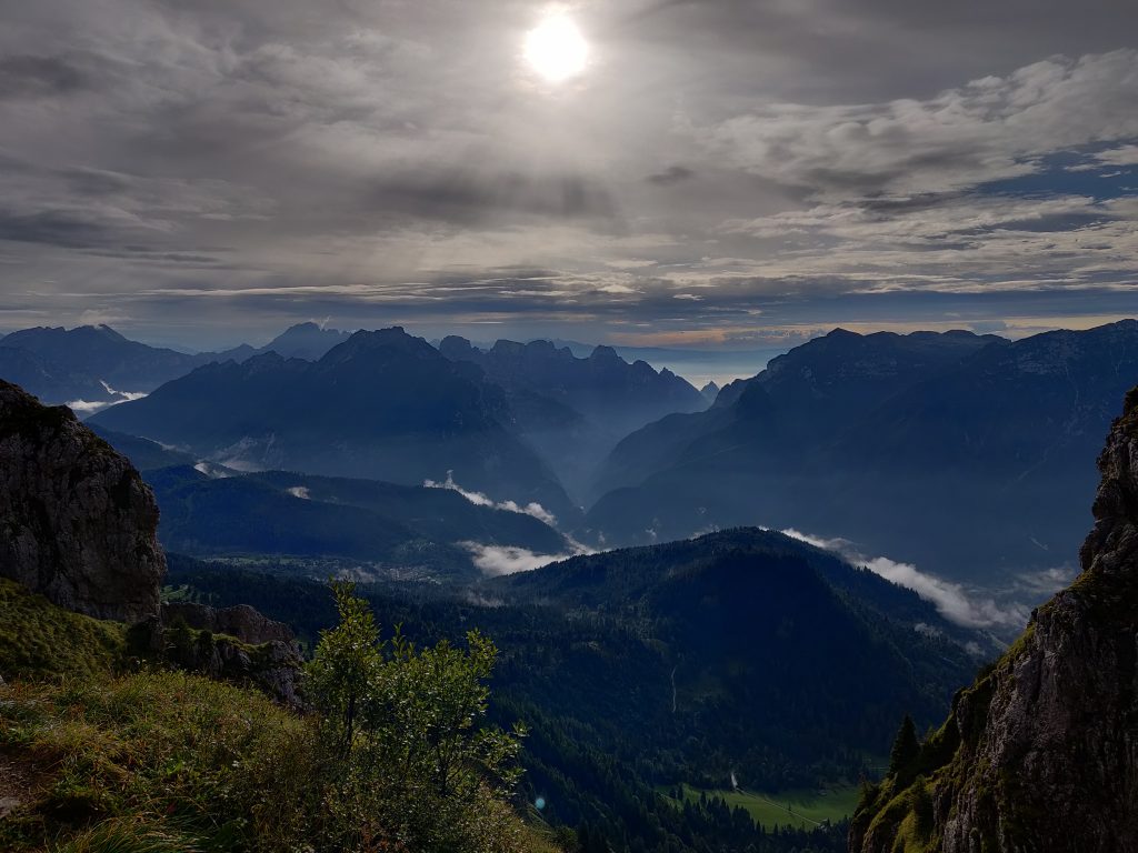
After admiring the scene and regaining lost fluids (sweat me a river) on the way to this pass, we continue along the mountain range side to the right.
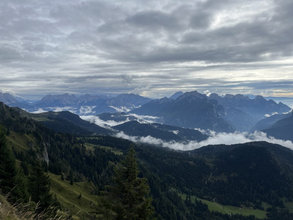
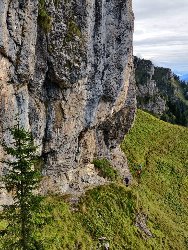
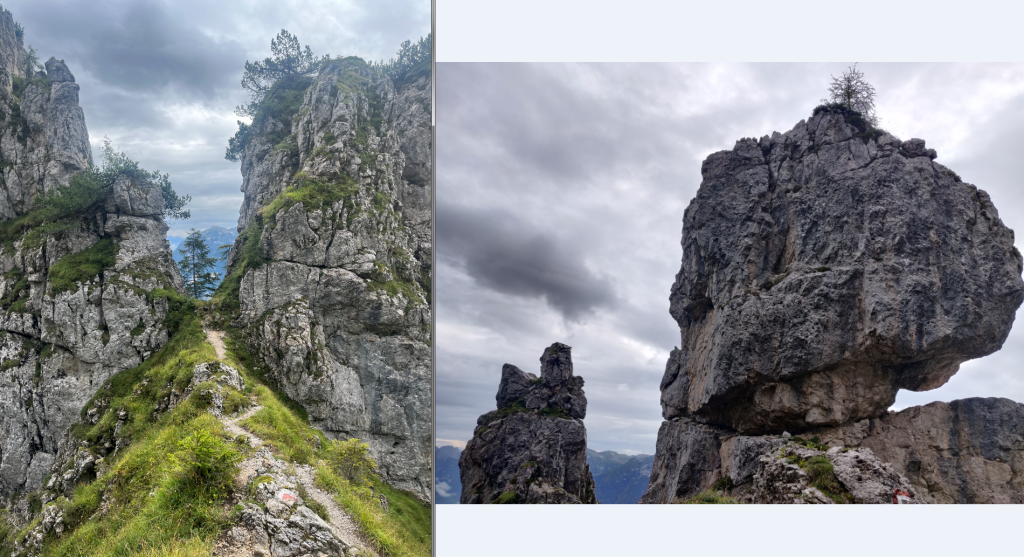
Some interesting formations
So we reached Cereda early. Our legs were toast after 2-day 2.5km descent. Even if forecast did not show rain in afternoon, doubtful we would had energy to attempt reaching Boz the same day. One of British guys we met did, however (at least we know he tried). There we googled for weather for afternoon, tomorrow, conditions to hike towards Boz. Hikers say it’s not safe to attempt during the rain. Gravel sure would be moving beneath the feet more, but I would not say its impossible from what we observed in heavily cloudy conditions with few drops.
In Cereda we had all the hikers’ comforts: unlimited hot shower and wifi – so a good day to catch up on communications and world news.
Day 8: Rushing to Rifugio Boz
Starting early, sky is clear. Leaving Cereda behind:
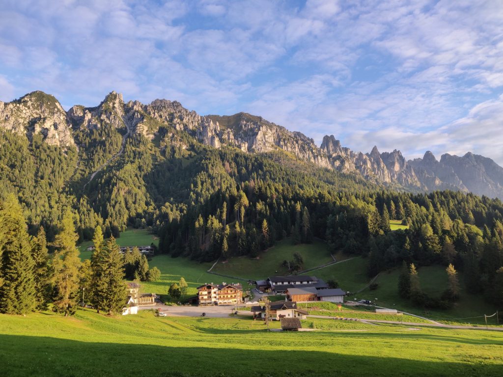
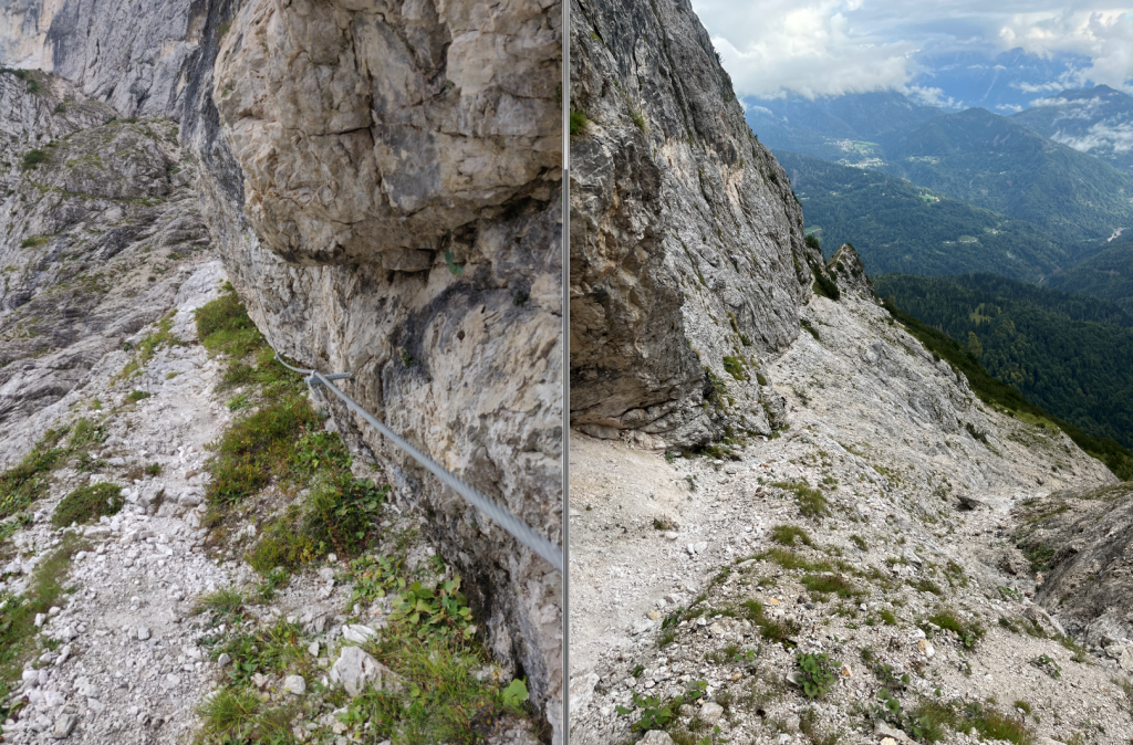
And basically a ~1km ascend starts. First slowly, then more steeply. First through forest, then rocks…
The higher we climbed, the more cloudy it got. After a hard hike, at Passo del Comedon (2130m), we were enveloped in cloud fog.
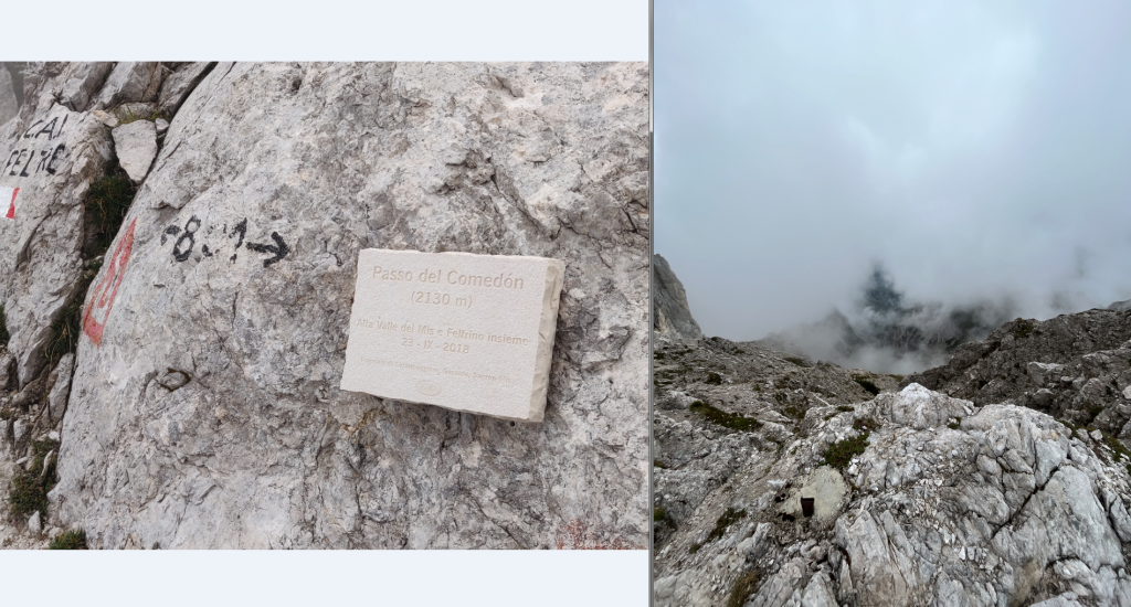
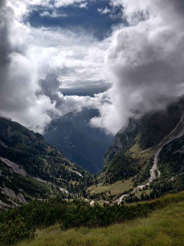
From Comedon it was mostly downhill. Fortunately for us, cloud dissipated a little bit, showing us new valley.
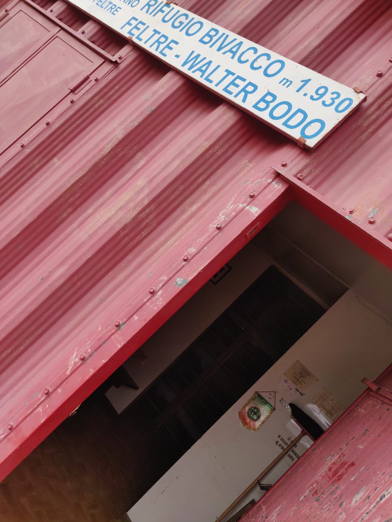
On way we encountered another remote shelter – Rifugio Bivacco (1930m):
Some cute oasis, with stream waterfall:
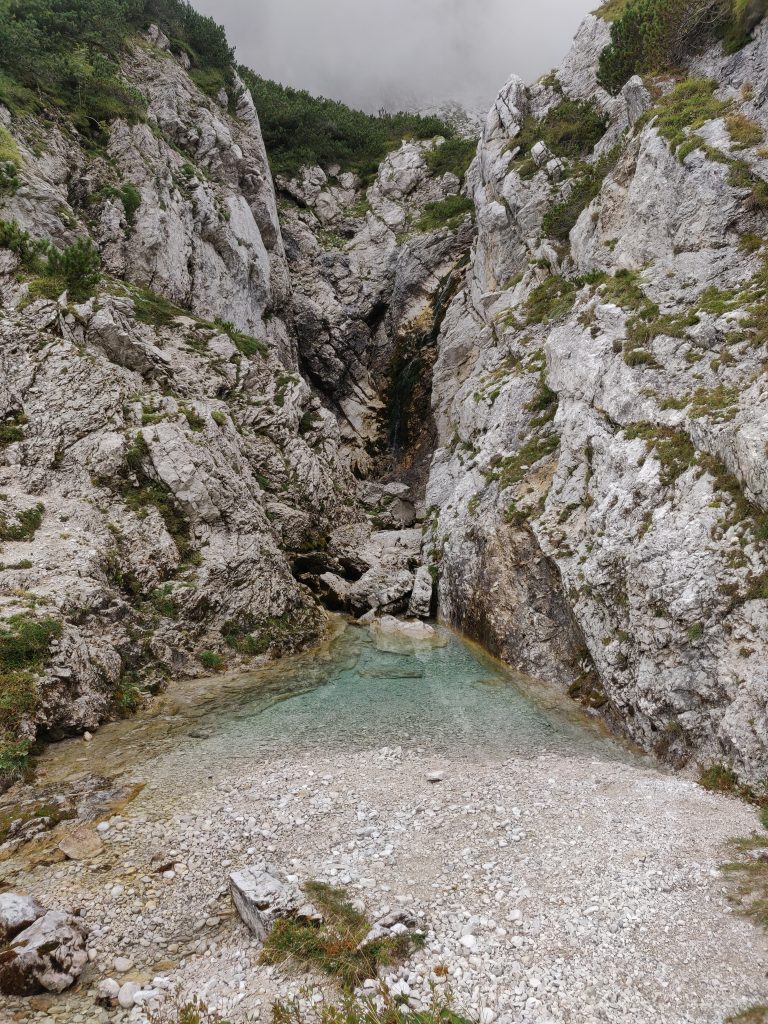
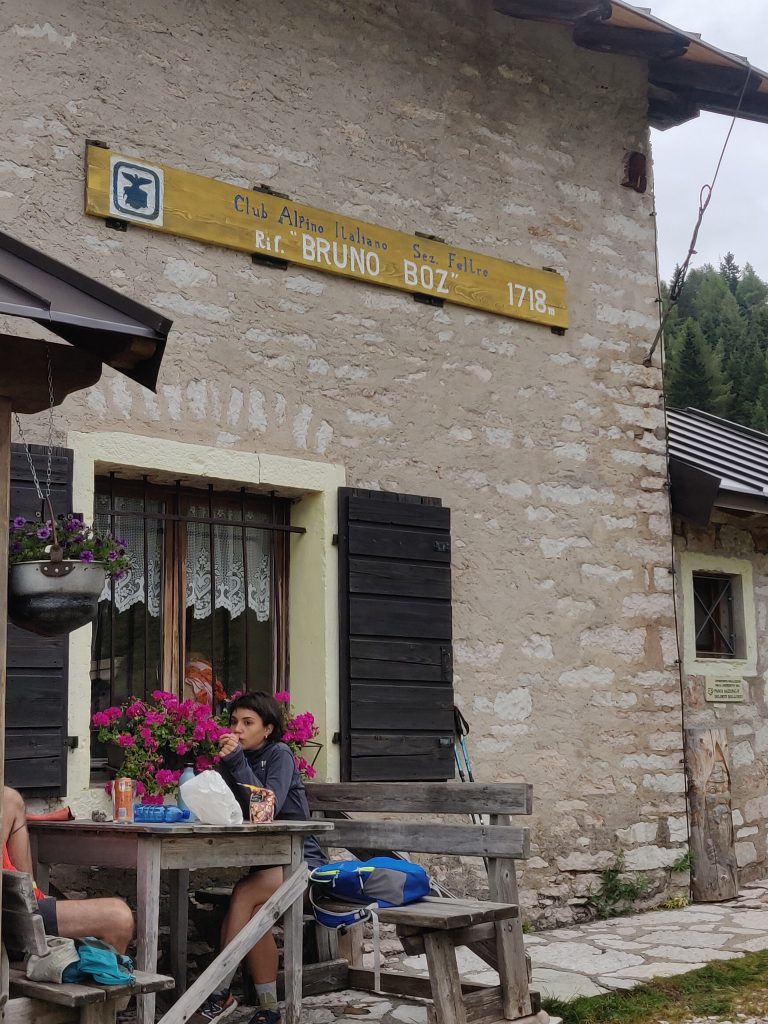
Clouds come and go, sometimes we would see far, sometimes only 20-30 meters ahead. But finally we reached Refuge Boz.
Well… It’s the last night in refuge. We are finishing tomorrow.. Time to celebrate right?
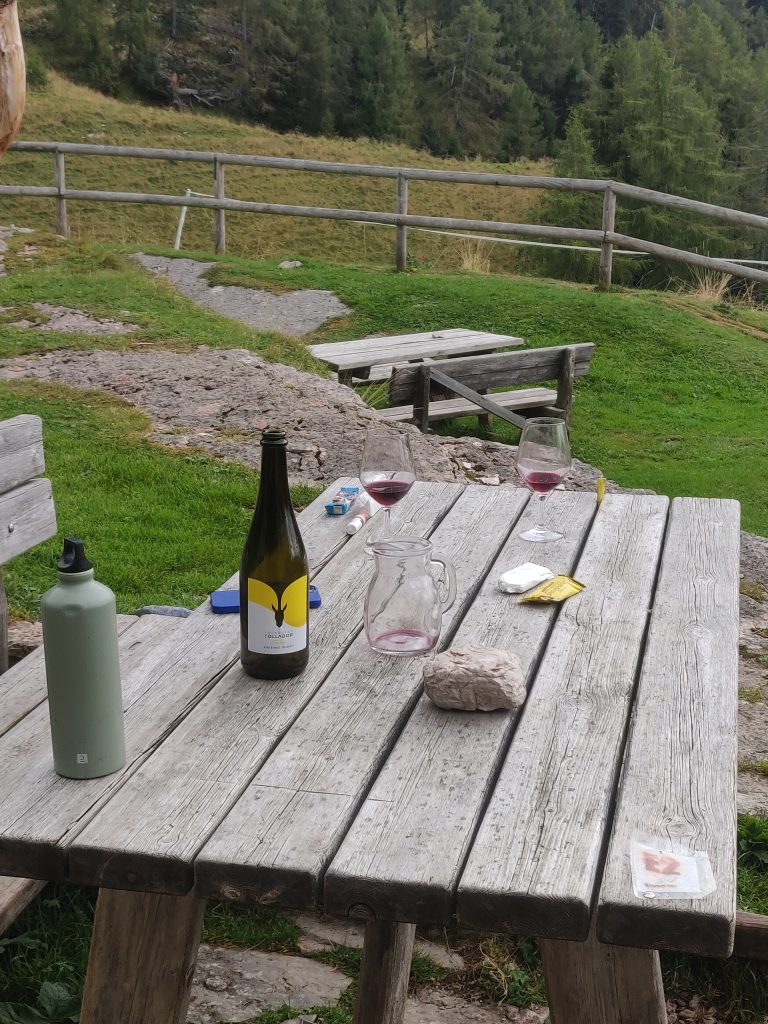
That was a fun evening with 6-9 ballpark wine jugs, aim to talk to each hiker/group in a refuge, which culminated in us talking and drinking at refuge hosts table and receiving T-shirts as gifts for a wine turnover, singing Felicita… Boz – hands down best refuge ;p.
Tomorrow, officially – still ~35km to Feltre, not counting 1km ascent and 2.5km down.
Day 9: Sweating away the Hangover to Reach Any Asphalt
Yesterday evening – probably where your typical blogpost on AV2 ends. When we woke up, at least me – I was not even at sobering up (hangover phase). Slow breakfast, lots of jokes and funny looks from anyone on our way out of refuge.
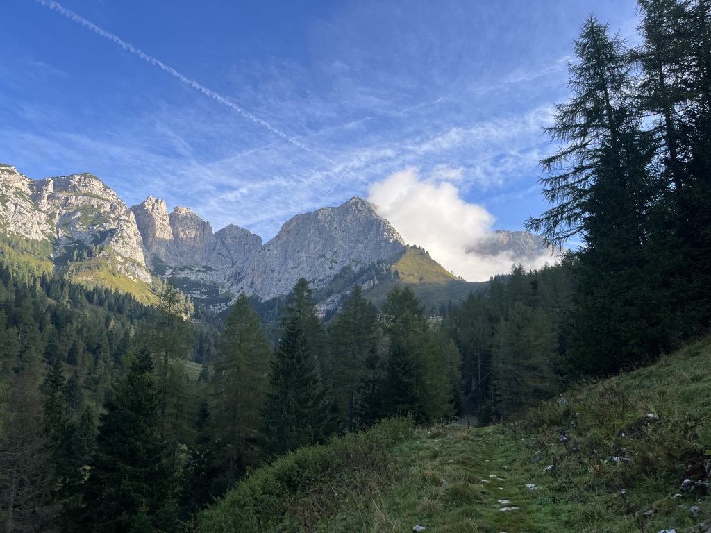
Plan for today was simple: get to the nearest asphalt, then walk, catch a bus or anything to get to train station and get this AV2 over with ASAP.
Day’s hike started flat, with slowly climbing ascent. The dizziness, the laughs. This must have been the most drunk state I was at mountains, no question. Weather started off fine at least. Heart, especially on steep ascents – pounds heavy. Sorry, dear heart, AV2 sober was too easy (sarcasm, of course).
Unfortunately, last day, also contains some interesting via ferratas. We ascended for some time, got into cloud on our side of the mountain range. Then came some interesting sections, at which point I was already in hangover phase with shaky legs, dizzy head. I was moving extremely slowly, compared to previous days. But experience is quite unforgettable given the views, exposure and condition.
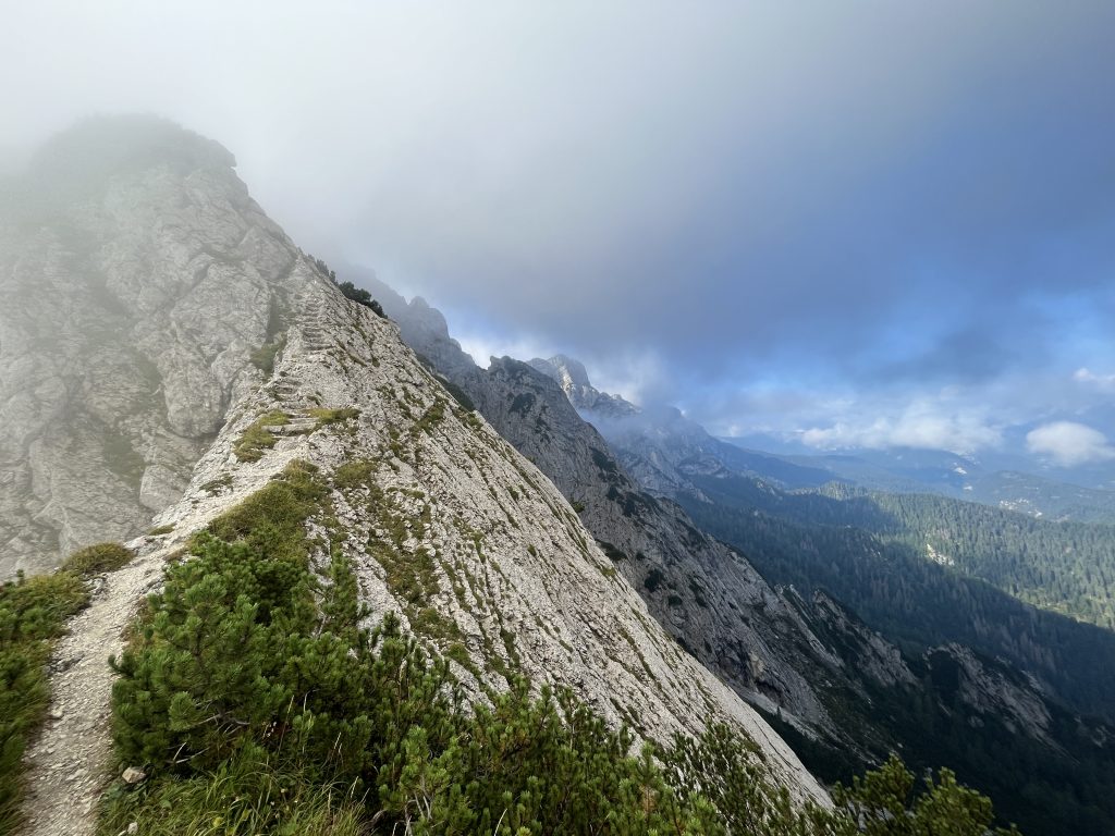
I’m almost certain this place is Passo Finestra. Definitely one of the most exposed places in Alta Via2.
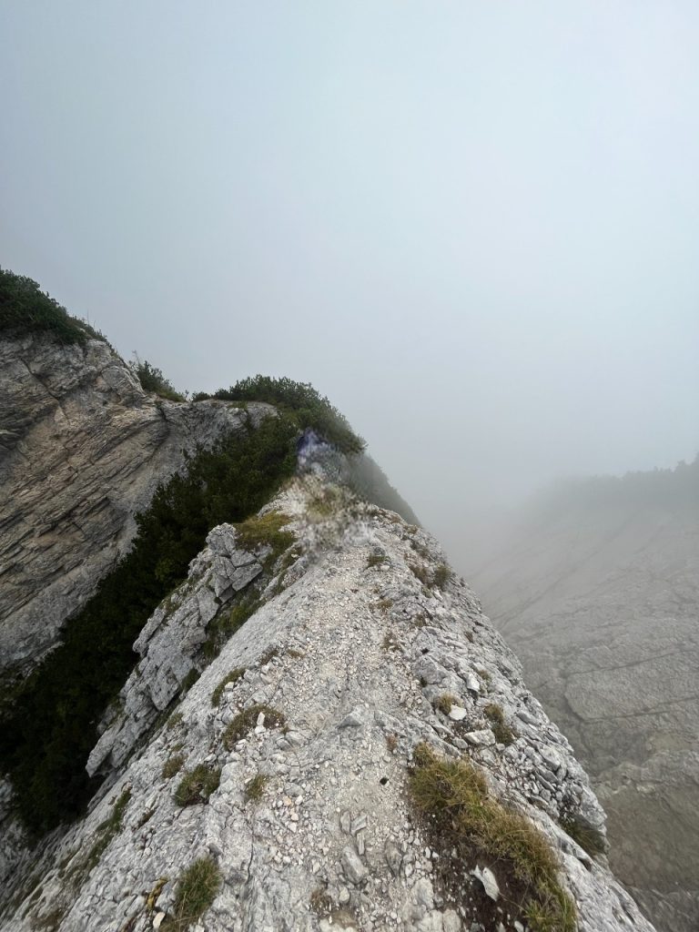
Ant there are no ferratas to anchor your self too.
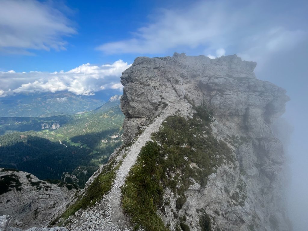
I don’t have trail maps with me now, but we did not reach Dal Piaz, we split on something like 2/3 between Boz and Dal Piaz and started descending earlier, aiming for a nearest road. My friend took a “goodbye AV2” picture we left official trail.
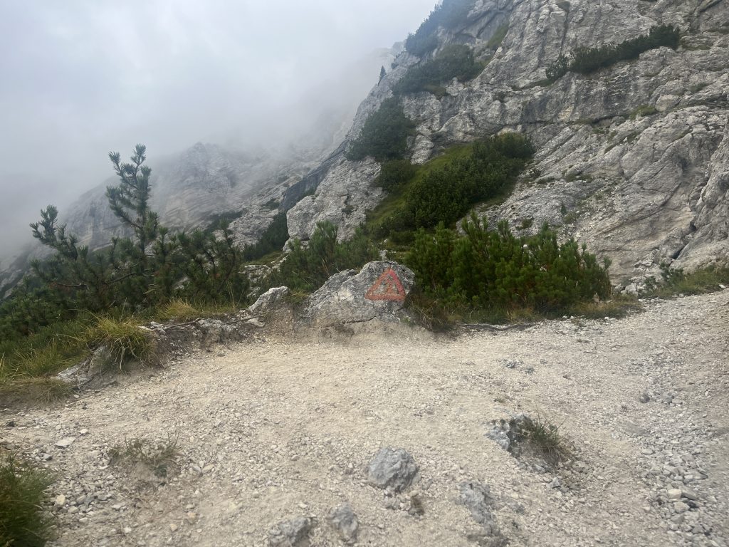
At that point, especially after scary passings above, I started feeling better. My friend was okay-ish even before.
Split from official Alta Via 2
We descended for at least an hour, trees grew in height. One thing I did not mention – we didn’t charge our phones last night. At least my friend used powerbank to charge his headphones… Medal right there. We were also damn far from any water supplies. We had something like 1.2l water left when we reached the next path split. 0 hikers on these trails. Legs did not shake anymore, but fatigue on descent, at least for me, grows way faster…
There were two ways, both leading to same road eventually.. We took one on the right and wasted a lot of energy, sweat, some water only to find our selves lost in the woods without any trail markings. What we descended, had to climb back. Sweat rivers, and a lot of annoying flies trying to get a taste of the sweat on your face. This was our punishment.
We reached a prior split point eventually, drank. We had something like 0.5 l water left… Motivated ourselves (we were a bit scared, not gonna lie) and took a path on the left.
Fortunately the path was well marked all the way to the end. During descent from here I already felt occasional pain in knees, feet, one heel – fatigue of constant banging. So reaching this place was of great relief.
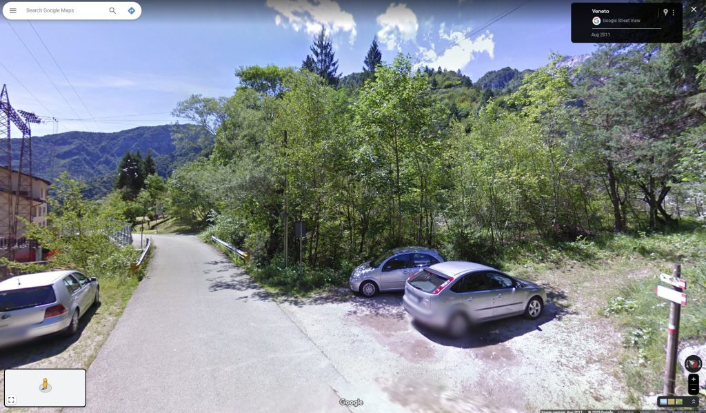
I would assume your path looked something like this:
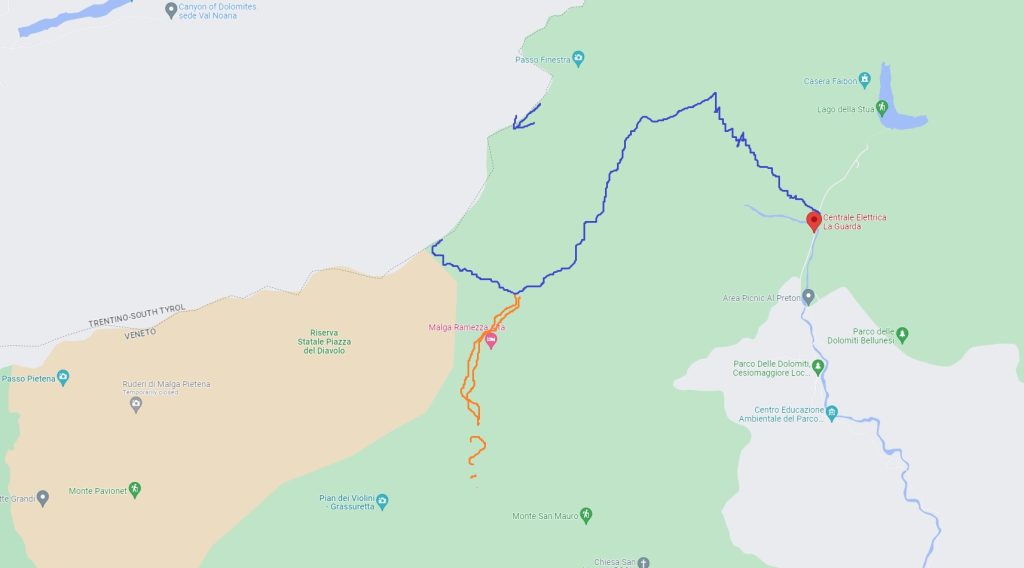
A Road – Great. Now What?
Road services a hydro power plant and ends with lake. In 10 minutes we have seen zero traffic. And Feltre is still 15.5 km away. At least there’s no feet banging against varying terrain. So we walk..
15-20 minutes on the road, we hear a car from behind. FIAT, older than both of us, we lift our hand in an attempt to hitchhike and… it works!
Italian girl, hiker, returning from hike herself. An Angel for us. Windows half-open, italian music blasting through shit speaker, speeding, hair playing in the wind. The dream, the finish.
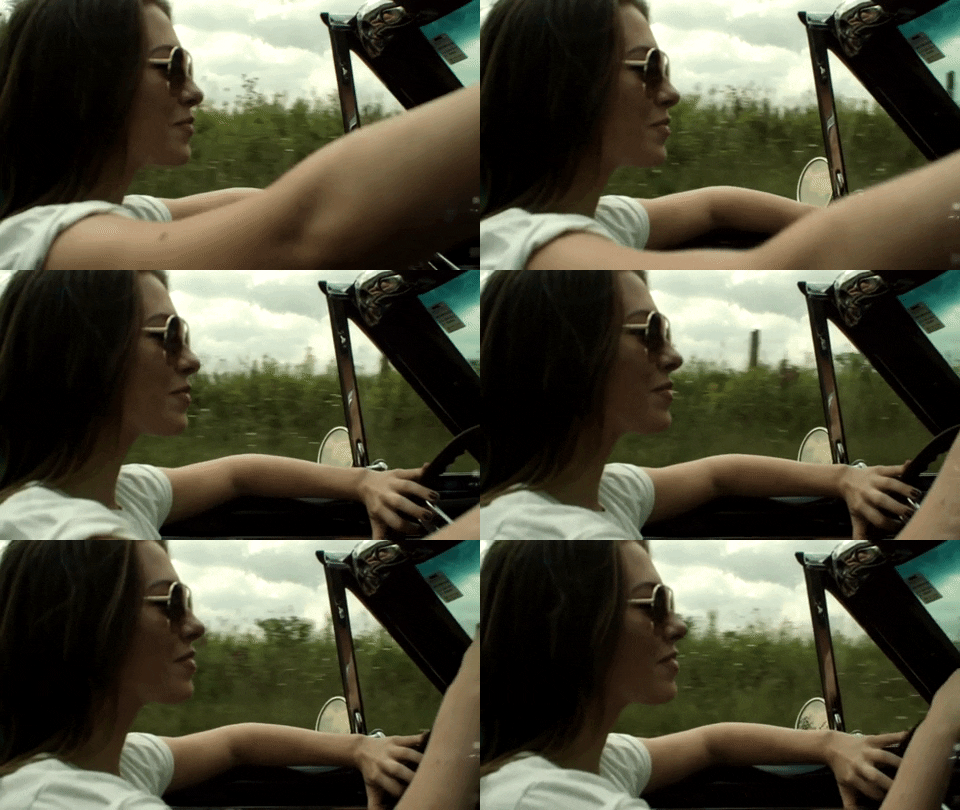
She took us all the way to Feltre train station. Wherever you are. Thank you, Angel. And that’s how it all went.
Hike Summary
Alta Via 2 is considered the most challenging hike of all Alta Via’s in Italian Dolomites. We can attest to that. Our fast pacing was in part dictated by weather forecastand our willingness to stay as dry as possible and not get stuck in fog too much, after all – Dolomites are peculiar and quite different from their northern Alps.
I do not recommend taking AV2 if you are a beginner hiker. Alta Via 2 is difficult in multiple ways: distance, steep ascents as well as descents, exposed passings. Based on our experience, it’s also hard to imagine people hiking in summer heat, but evidently that’s the peak hiking season in Dolomites.
Regardless, barely anything can compare to dopamine, you get after a sweat finally pays off with a new landscape. And the vastness of Italian Dolomites offer plenty of astounding views with each new passage.
And Thank You for my friend! On to the next ones…

