Trekking and climbing in Nepal’s Himalayas happens in one of two season openings: Spring (late March-May) and Autumn (October-November). We (2 guys) landed in Kathmandu on evening of 2022 April 2 and flew back on April 23. Health condition slightly modified our journey to two passes, but nonetheless we climbed 4 peaks, walked 170-180 kilometers, slept and conquered steps above 5000m elevation. This is the story, lessons and hopefully practical tips embedded in the text to anyone going after Three Passes Trek and Everest Base Camp.
Three Passes Route
Three Passes Trek route is well established, basic outline could be seen below. From Namche Bazaar that’s a closed loop that will take you somewhere between 10 to 14 days including acclimatization days, several summits and visiting Everest Base Camp (EBC).
If you want a high resolution map, that we bought in Kathmandu Tourism Center, click here.
We had offline Maps.me, which was sufficient for unguided hike. Compared to European Alps – there are barely any signs, but they are not needed. Area is vast and only few paths and plenty of people on the way.
But before trek, there’s Kathmandu and a drama with flights.
Day #-1: Arrival to Kathmandu
It was already dark when we landed. Airport is in the city and hotels are within 5-10 minute walk from terminal. There’s tourist district Thamel within Kathmandu, but if you plan to leave for Lukla the next day, there’s no point going there, save it for after trek treat (more on that in the end). Prepare to break taxi drivers hearts with your cold rejection near airport.
We had booked “OYO” branded hotel through booking.com and failed (even with aid from local hotel owners within nearby streets) to locate it. Walked in and arranged a night at another hotel.
TIP #1: Don't book a night. There's room for bargaining and finding a place near airport is really easy.
Checked in, filled hand with relatively expensive local beer and went for a walk.
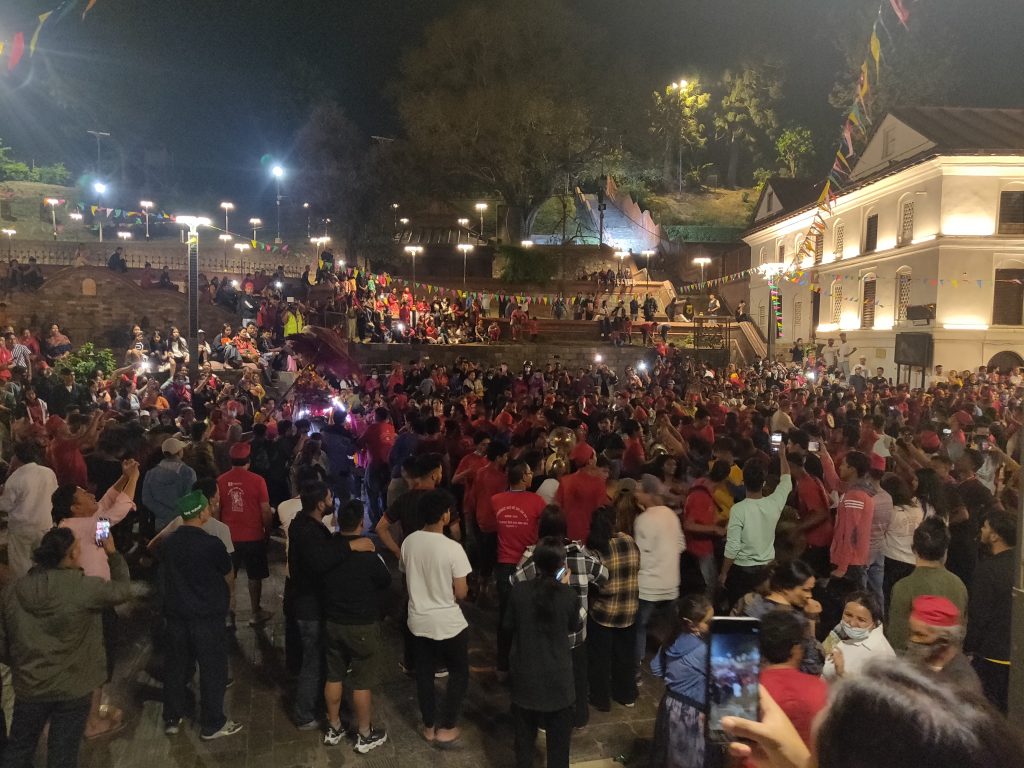
Newari Festival
We talked to several guys with beers too and they invited us to Newari (local ethnic group) festival going on in temple territory nearby. Of course we couldn’t skip on free accidental cultural excursion.
Much people (youth mainly), sound and positive energy. Two mythical gods fighting each other.
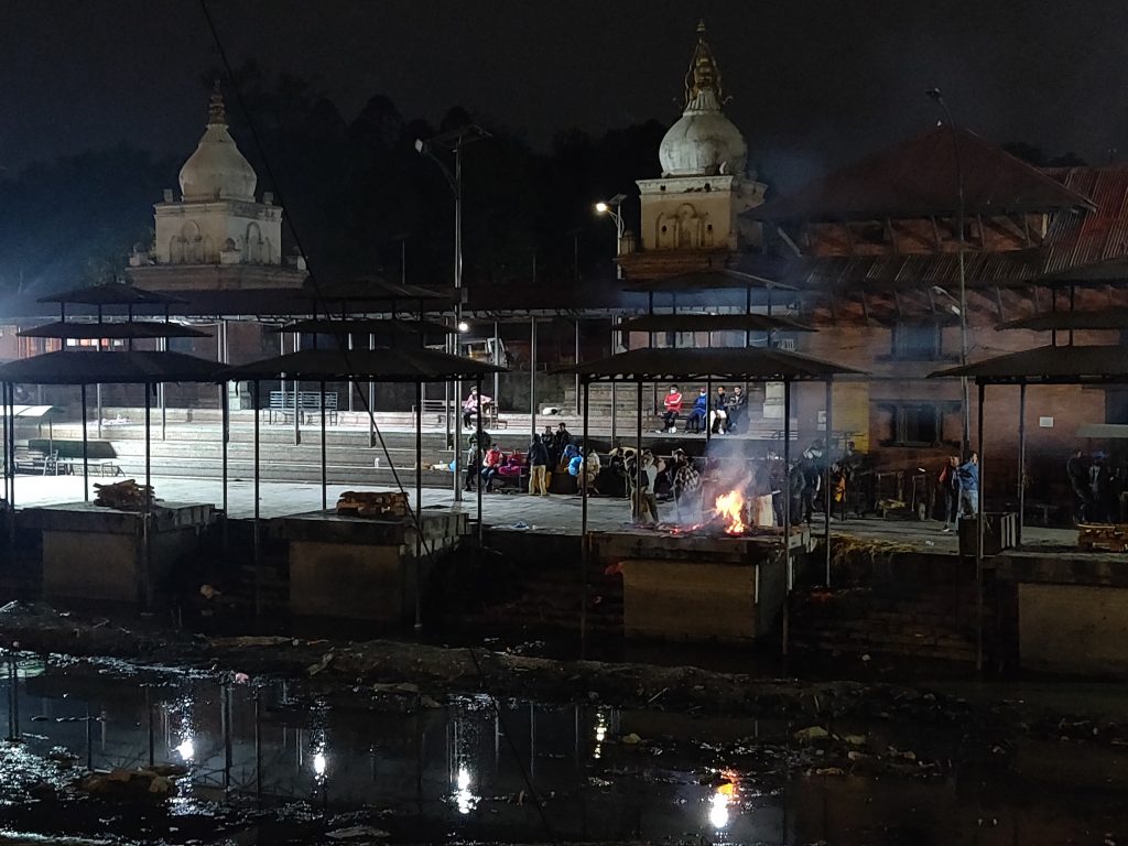
On the way we also met the opposite energy. Dead bodies are being burned for 24 hours near this river.
Day #0: No Lukla Flights
Trek starts at Lukla. There are 4-5 local airlines flying there. We had booked a flight before with departure time of something like 9:30 in the morning. However that morning it was too cloudy and no flights to Lukla were talking place. First setback of the trip.
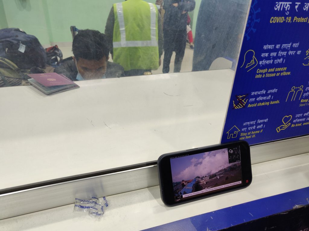
From what we gathered in the airport:
TIP #2: Book the earliest flight possible and be at the airline stand early. Earlier time flights have higher probability to take off. It gets more cloudy closer to afternoon.
So we have a day to compile all possible options and resolve a conflicting information online about TIMS card at Kathmandu Tourist Center (for Three Passes Trek you DO NOT need TIMS). Travel options ultimately boil to:
- do nothing, hope for better weather and flights tomorrow;
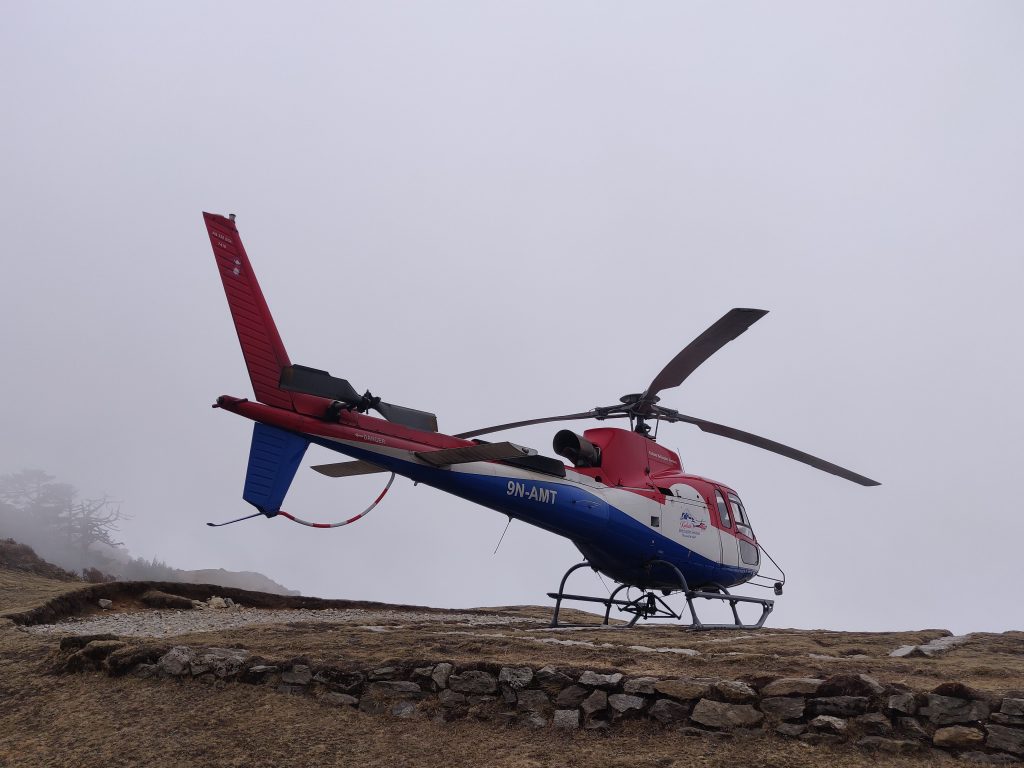
- take a helicopter to Lukla (400-500 USD/person). Helis are more adaptive to weather and fly more often;
- take a whole day jeep drive to Salleri and another 2 days trek to get to Lukla;
- [after talking with multiple agencies] book earlier time flight for tomorrow (08:00) and change original tickets to return – bingo.
Airlines are reasonable and flexible about cancel and refunds, change of flight dates and in our case even direction (from KAT -> LUK to LUK -> KAT).
This day we took like 5 taxi drives, so:
TIP #3: The older the taxi, the cheaper it is. Multiple times we managed to bargain 40% or original offer. Bargain!
Day #1: Lukla after Half Day in Airport
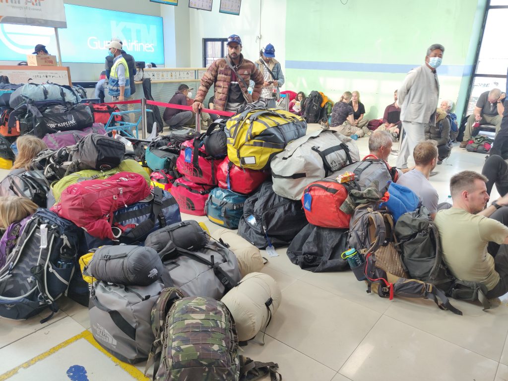
We were at airport 5:30 and took off around 12:30. I don’t even want to remember the nerve-wracking experience near airline stand and later the gates. One picture captures the waiting spirit well:
TIP #4: Stay alert at the "gates". Our flight got called by a dude shouting. Screens and Departure / Arrival app don't update to reflect reality.
Finally on the trek
After a shaky flight and even more stressful landing we could put flight related worries to rest for at least 2 weeks. We got to Lukla (2840m above sea level).
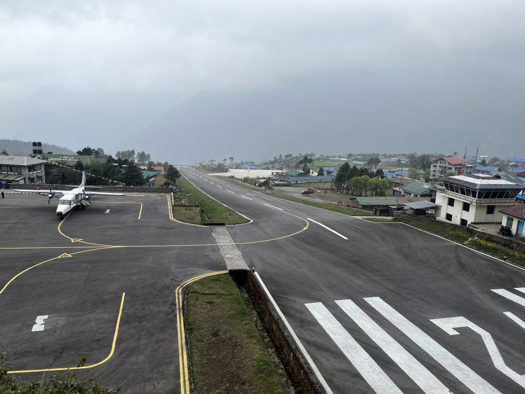
And so it begins…
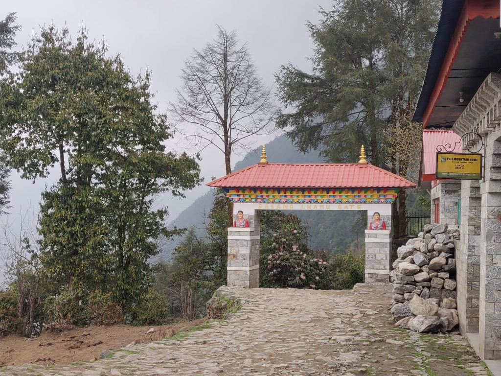
We got to buy our first trekking permit for Sagarmatha National Park just outside of Lukla for 2000 NPR per person (~15 EUR). So also loaded on cash at Lukla, although the are also last ATMs available at Namche Bazaar before “real” trek starts.
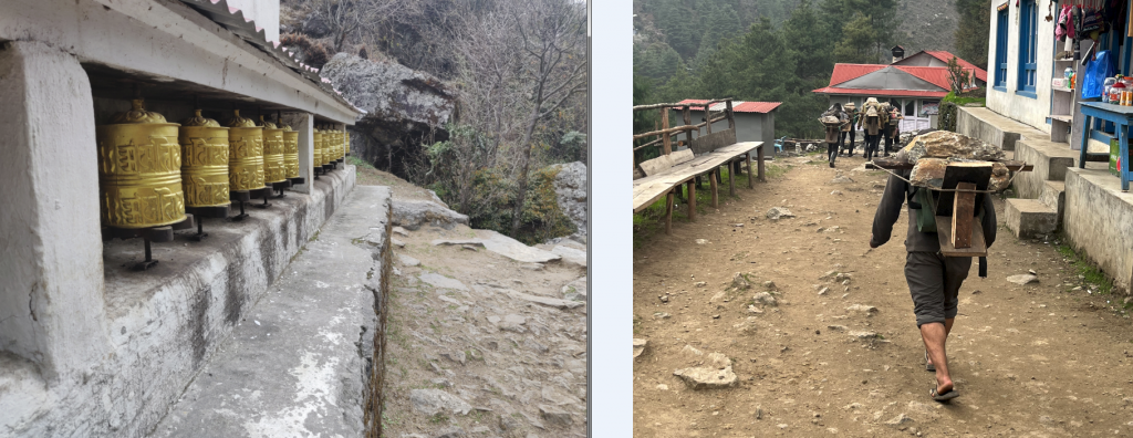
Although our initial target stop was Monjo (2835m) we settled for 200 NPR (1.5 EUR for both, it’s the food, that lodges make the money on) at a lodge just after Tok Tok (2760m).
Water Treatment
I have a marked tip:
TIP #5: Do not buy water at Lukla. There are plenty of running water pipes / taps on the trail (at least to something like Dingboche (4410m)).
So perhaps it’s worth mentioning about water situation. It’s all bottled in Kathmandu. When on trek, there are water purifying tablets that change taste (or add additional tablets to treat taste…), UV light filters and a machanical – bacteriological filter we used and found no problems with it. It’s ~30 EUR investment for 1000 litres throughput lifetime.
I was consulted by a more serious climber – shop owner, Nepal waters have no viruses, it’s the bacteries one must protect his gut from. I lost the filter and we drank water directly after 2/3 of trek was done and eventually both got sick in Kathmandu. These may or may not be related, but majority of tourists treat the water they drink one way or another.
Stay Vegetarian
TIP #6: do not eat meat while on trek. Adds unnecessary risk of poisoning which could ruin day or two.
Meat is sort of luxury in Nepal. Lack of refrigeration casts doubt over quality of meat in mountains. Try local dishes, some of them are really good! Also helps environment. At higher altitudes, it was common to hear people vomiting in the bathroom. It’s 80% altitude sickness I suppose, but worth mentioning regardless.
Day #2: Reaching the Namche Bazaar “Base”
At Monjo, there’s a second round of permit buying. 3000 NPR per person this time. It’s a less cloudy day and we can see the valleys more clearly.
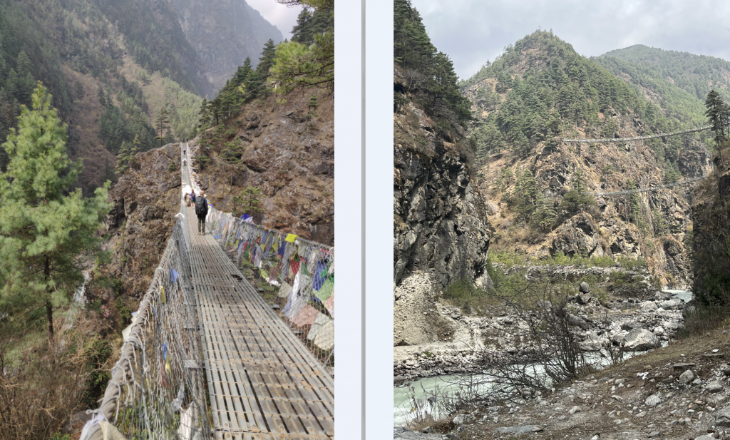
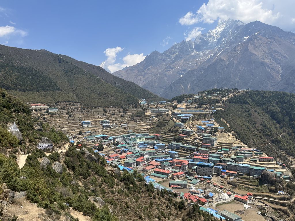
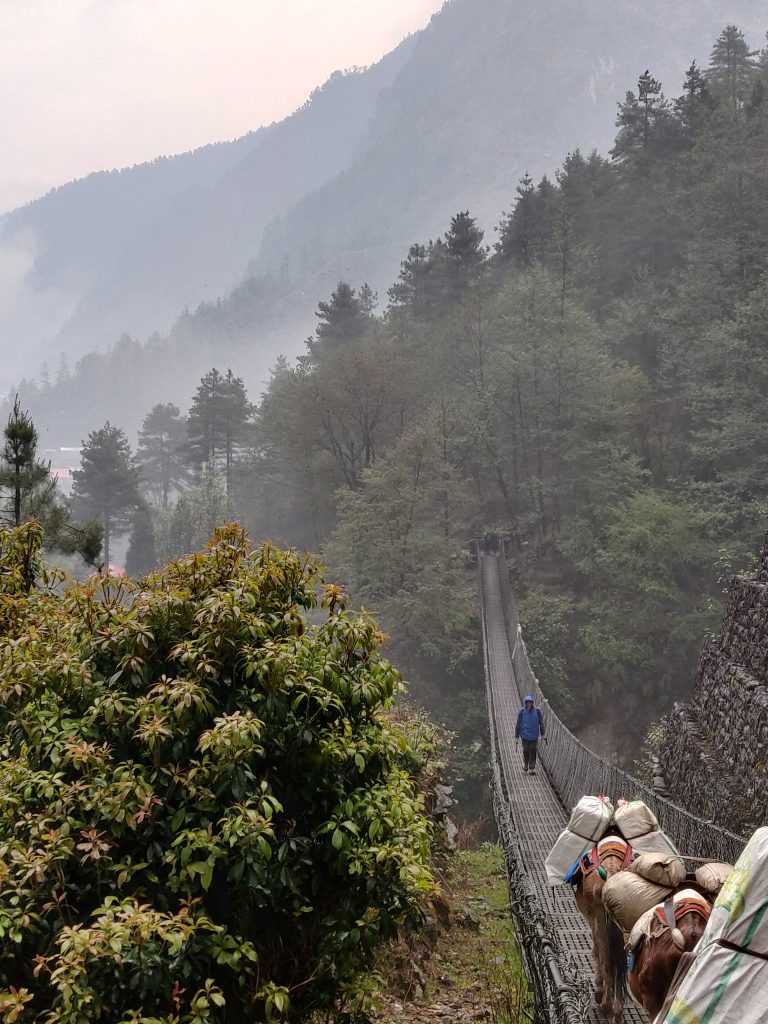
After a demanding (+600) ascent and few suspension bridges we got to Namche (3440 m), sitting in a valley.
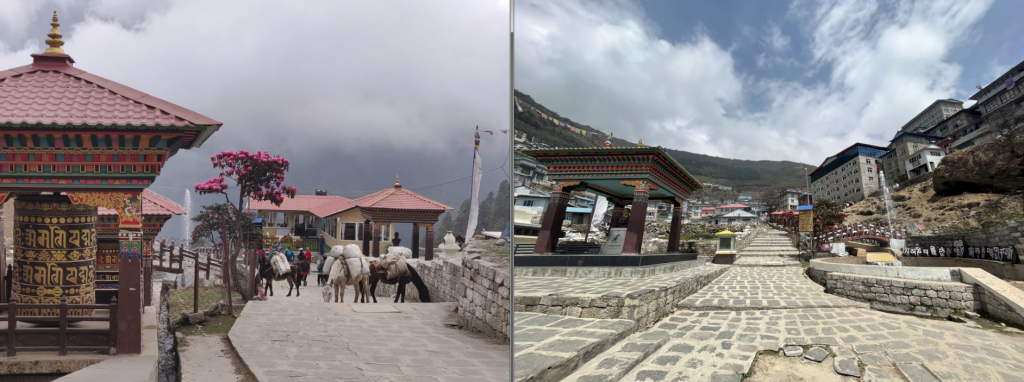
Namche is a full on city with 800 permanent residents, school with kids, highest live music bar and Irish pub, plenty of gift shops, ATM’s and anything a trekker would need (boots, flasks, jackets you name it). Which brings me to another takeaway:
TIP #7: Consider buying (/renting!) trekking gear in Thamel (Kathmandu), Lukla or even Namche. For space, money, weight or all.
Example: cheapest walking pole in Decathlon was around 16 EUR; 7 EUR in Thamel.
Comfort
Lodge rooms have electric sockets, cellular network is working and wifi is almost always on. Windows are well insulated, the sink is inside and the water – although cold – is always running.
These details makes Namche first and last “base” before the wilder rest of the trek.
In evening I felt mild headache so took preventative Domeridon Actavis (for altitude sickness) medicine before sleep.
Day #3: Acclimatization Day around Namche & Khunde Peak
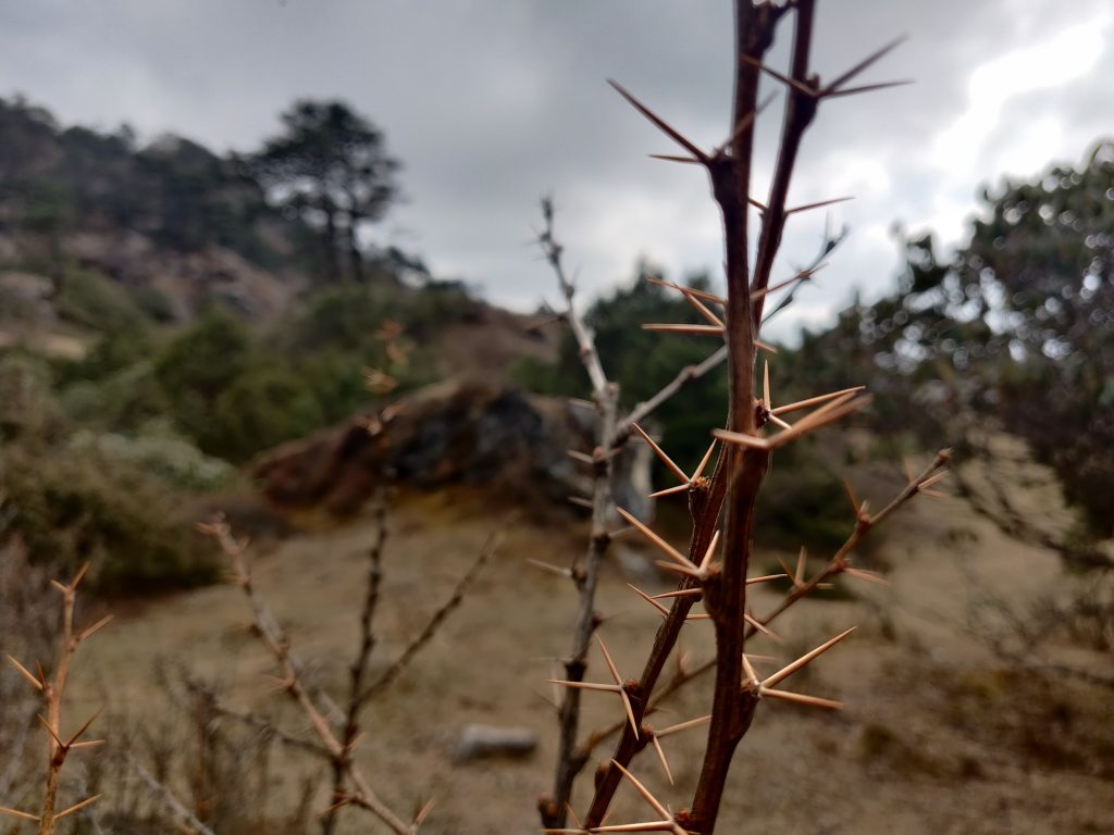
Our typical day started at 6:00 and around 7:00 we already had had breakfast and started walking. This is an acclimatization day. Pushing a body upwards, give it some altitude stress and go back down for the night.
Most people are after “Everest View Hotel” on this day, for obvious reason hiding in the name itself, but after talking to hotel owner (ex guide), we decided it would be more challenging and rewarding (these come hand in hand in mountains) to first summit Khunde Peak (4200 m.) and then do a lap through Khunde, Khumjung, Everest View Hotel back to Namche.
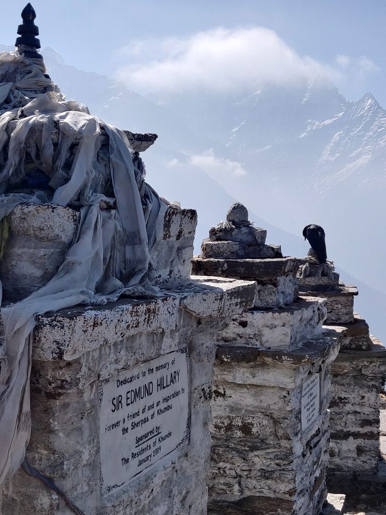
We did +800 meters ascent to Khunde peak with already noticeable lack of oxygen in the air in three hours.

TIP #8: Do a clockwise lap around Namche and summit this peak, which often gets skipped.
Only on our way back down to Khunde (village) we met 4 person group. It was at this peak we reconnected with serenity that mountains typically have. Zero man-made sounds.
Skies – clear in early morning got cloudy afterwards and by the time we got to Everest View Hotel we were in total fog (cloud).
After we got back, we went for sweets shopping to stock up for higher altitudes, peaks and passes. One German dude we met at a bar (just visiting and playing fusball at this point) said the next day will the hardest. He also said it’s all shit except for the views after Namche (lol).
Day #4: Scramble for Dobuche
In the land of Never Ending Peace And Love, people rarely lie. To get out of Namche there’s 200m rise to 3600 m only to get down to cross the river at 3200 m then some rough sex to get up to 3900 m (+700) where Tengboche sits (rounded numbers to hundreds).
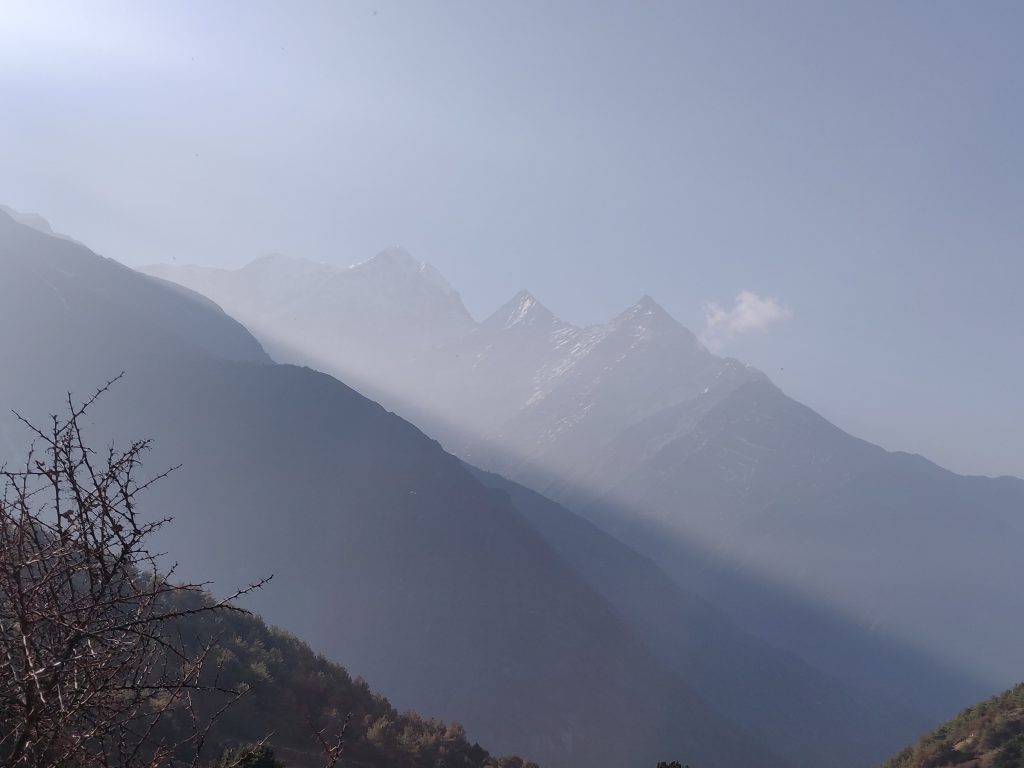
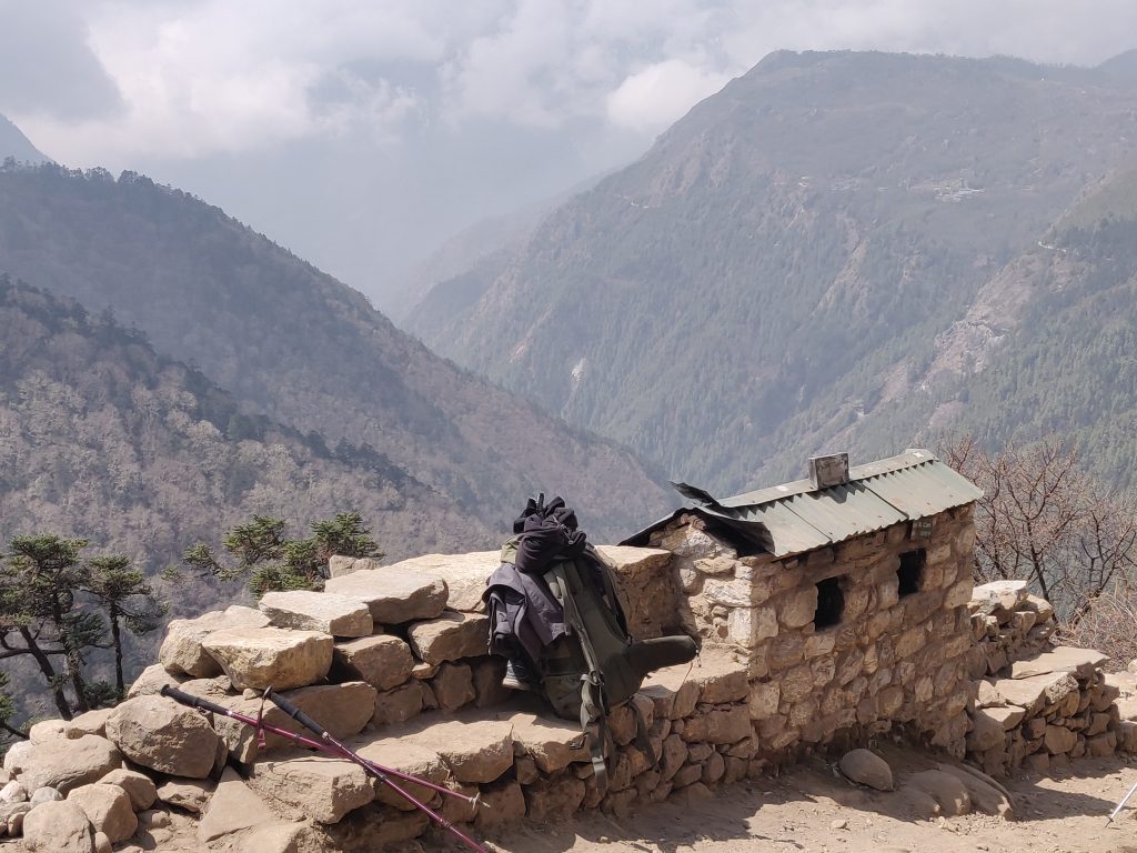
Although a lot of people stay here, we initially planned to sleep in another village Dobuche (-150 m down), 15 minutes out further. Tengboche has an impressive monastery and we heard there will be a 1 hour prayer at 16:00 (no idea if it’s daily).
So after lunch at Tengboche we went on to find a place to sleep, took a solid nap. To our surprise few tea houses (lodges) we tried at first were full already. Later we went back to Tengboche for another cultural exploration.
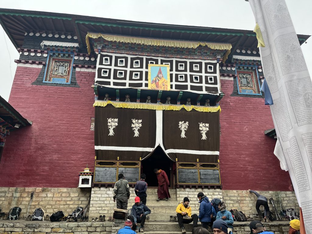
No pictures were allowed inside, but it was my first time in Buddhist monastery and it was beautiful! Much colors. Prayer took 1.5 hours, a lot of people left early. Going back to sleep, there appears this Japan-like style postcard:
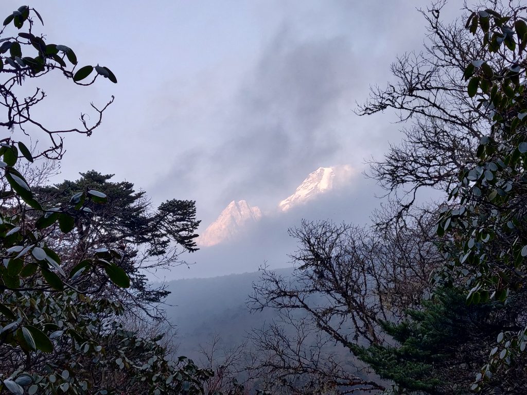
In the evening we learned a story of two guys who were waiting for a flight to Lukla at Kathmandu: their flight was after ours and turned around mid-way to Lukla due to worsened weather, they took a helicopter afterwards.
Day #5: Trekkers split at Dingboche
Path from Dobuche to Dingboche (4410 m) is not difficult. A fairly steady ascent of 600 meters and 9.5km horizontal distance. Last kilometer before Dingboche is more steep. After traditional 6:00 morning start we reached Dingboche around 11 – 11:30.
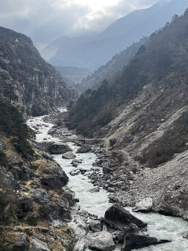
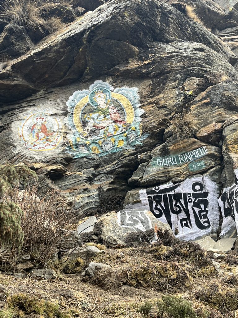
I don’t want to name the place we stayed, but my god what a shithole, with an actual shithole in fact. But it’s about the time we get used to discomfort and lower temperature.
On a positive note it has a “French” bakery with great cakes and movies (3 – all about mountains of course)! Views were a bit cloudy on the afternoon we got there, but we saw a promise.
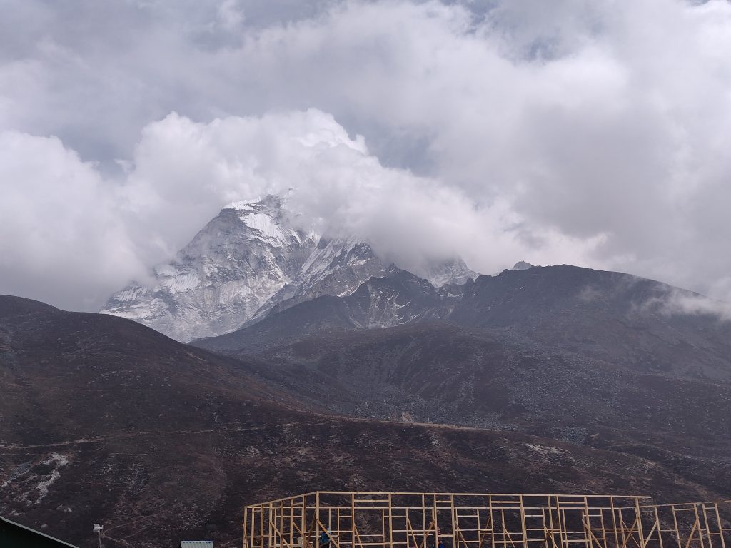
Dingboche splits two groups of trekkers: majority of tourists come and trek directly to Everest Base Camp (EBC), probably a third are here for Three Passes Trek and few are doing some combination of EBC and additional Cho La or/and Renjo La passes.
In most evenings above 4000 m. I experienced a heat coming off from the face, also with mild headache (wind, sun throughout the day?), which felt like I had mild fever.
Day #6: Acclimatization Summit Nangkar Chang
Another acclimatization day according to well-established practices. Target: Nangkar Chang summit. The day is clear is early morning, but clouds were chasing us and by the time we reached a lower version of the summit (5083m) we are already well in the cloud with 30m visibility max.
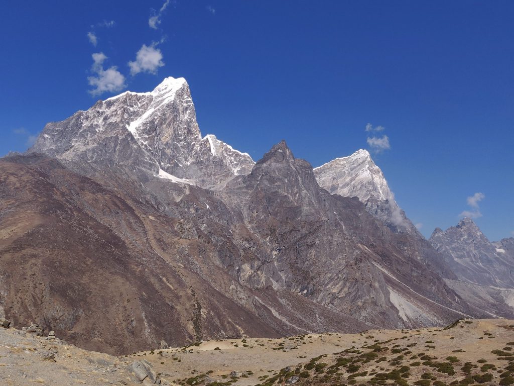
On the way up, to the other side, as clouds have not caught us, Ama Dablam in all its glory:
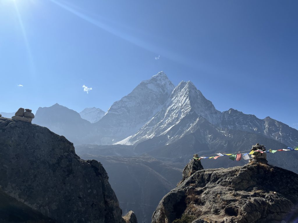
Nangkar is not technical, but sheer altitude makes it difficult to catch a breath. We both agreed 650-700 ascent and whole day was #2 most difficult so far. Step after step; one step at a time – something too familiar above 4500 m.
We reached 5083 altitude today – way above highest peaks of Europe or north Africa, crazy.
On the way back we see troves of people who woke up too late for the views.
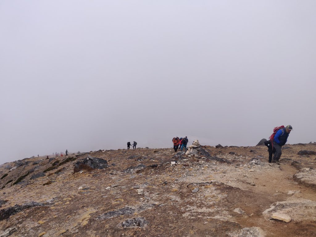
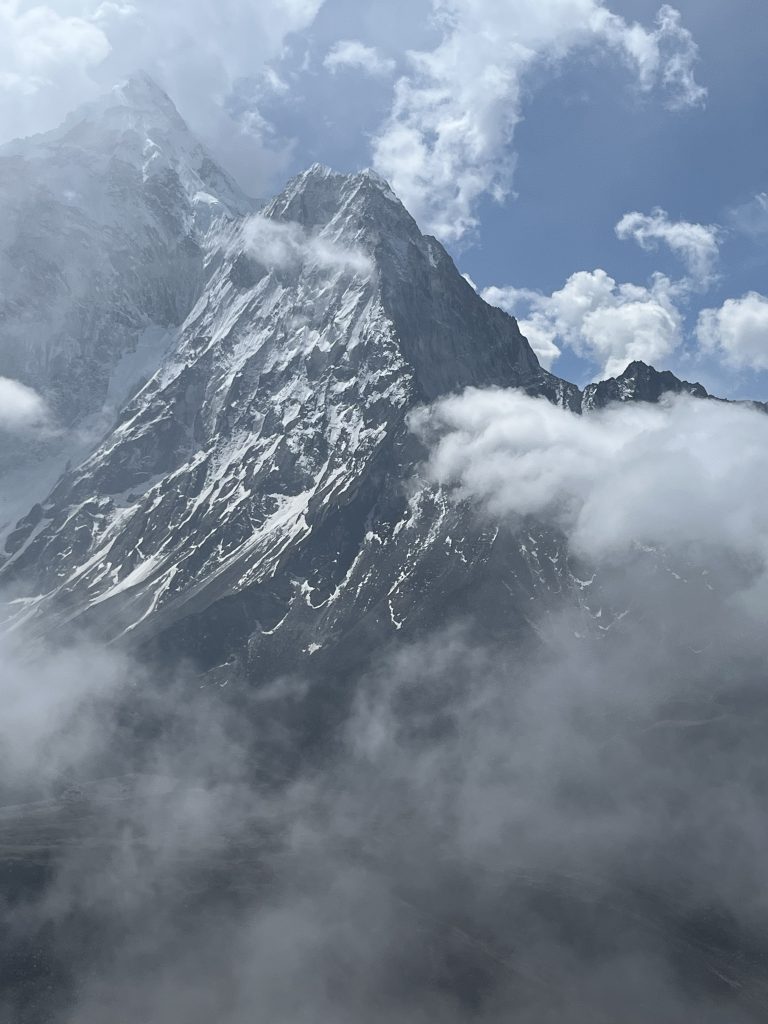
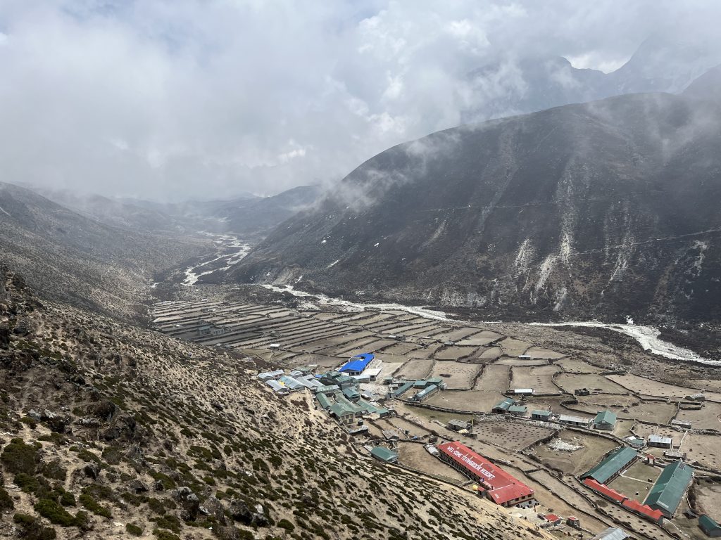
We feel like we deserved another cake and movie. It’s snowing outside. Little cough in the evening, but overall health is ok.
Day #7: Chukung and Day I became a Liability
Yesterday I was showering half naked at 0°C with draught wind in the evening. Barely slept, full nose, cough. Woke up with obvious temperature. Breakfast with lots of tea did not help.
Luckily next stop Chukhung (4730 m) is only even +300 elevation and 4.5km away. The walk is substantially different today. Weaker coordination: less control over feet placing precision, significantly harder to breathe – feeling full blown sick with added pressure of impairing trek plan.
At Chukhung I lay and drink fluids as much as I can, friend takes a hike around, brings some moments to share
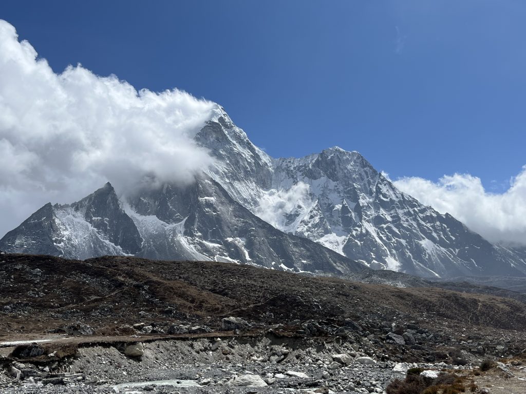
We discuss possible options in the evening and settle down on passing on first (hardest – Kongma La) pass. To spend an original acclimatization day in Chukhung back in Dingboche (2 hours max on an easy ride down). Took a red pill (I’m already orange-pilled, by the way) from our “French” buddy we already met multiple times in the evening.
Day #8 Rest day at Dingboche
The walk was easy and downhill, although I was lagging behind. The day was the clearest one so far.
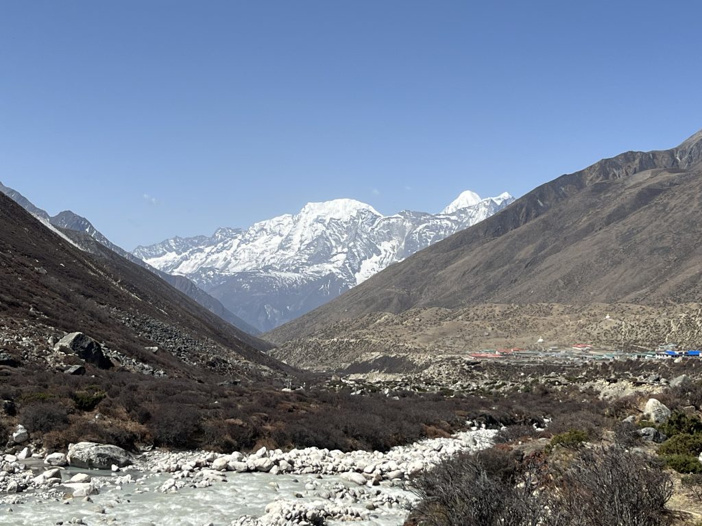
Found ourselves a better stay this time and went for a walk. As the sky is clear, satelite network works and shops offer paid wifi. Took a pot of tea and sat down to update ourselves with the rest of the world for couple of hours.
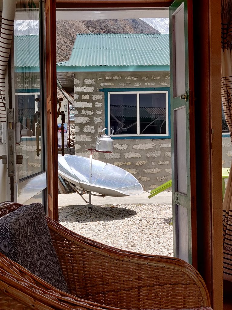
Drank enormous amounts of soups, water and teas these two days and by the evening I felt way better. However next day’s target was Lobuche hefty distance away and with fair amount of elevation.
Day #9: Lobuche
The road from Dingboche starts throughout valley on mild ascent, nothing too difficult – however I can feel both altitude and previous sickness taking a toll, I’m lagging again. Skies are clear and views are…
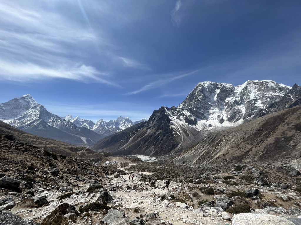
A brutally steeper climb starts after crossing the river at ~4600 m. just before the Scott Fisher and other climber’s memorials. Reached some katharsis at this place. Emotional and physical fatigue came out with tears, resting on a warm ground. Such a beautiful place the Earth.
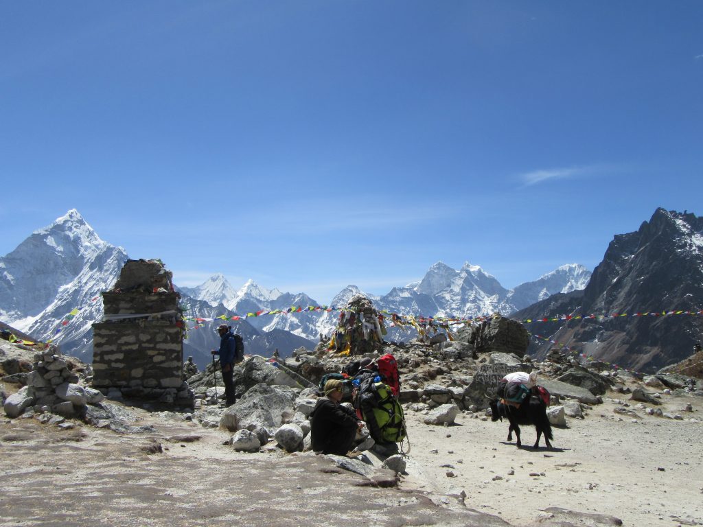
But it’s not Lobuche yet. Onto it… More beautiful paths.
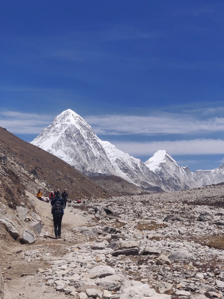
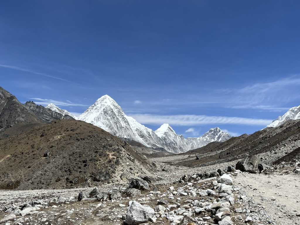
Although lagging, I was happy we got back on track with effectively no day-planning deviation from the plan. This has to be one of the most iconic moments of the trip.
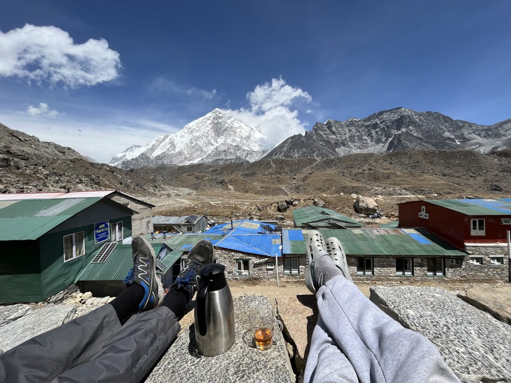
In dinner we learned local “hashbrown” is actually a huge potato pancake, which I love. We also conclude we are getting fed up with cold, lack of hygene, constant physical challenges and dragging of 10+kg. Expected. Another technical tip on trekking:
TIP #9: Consider anti-fog (level 4, do not be kidding with sun) sunglasses. Breathing with buff covered mouth and nose was problematic for me.
Should be obvious, but worth mentioning for complete newbies:
TIP #10: Use SPF50 suncream, proper sun glasses and lip protection. Thin air, high UV and wind could do some serious damage for unprotected hikers.
Took a wet wipes “shower”. Changed majority of under and middle clothes – tomorrow is a big day -Everest Base Camp, lol.
Day #10: Goraksherp & EBC
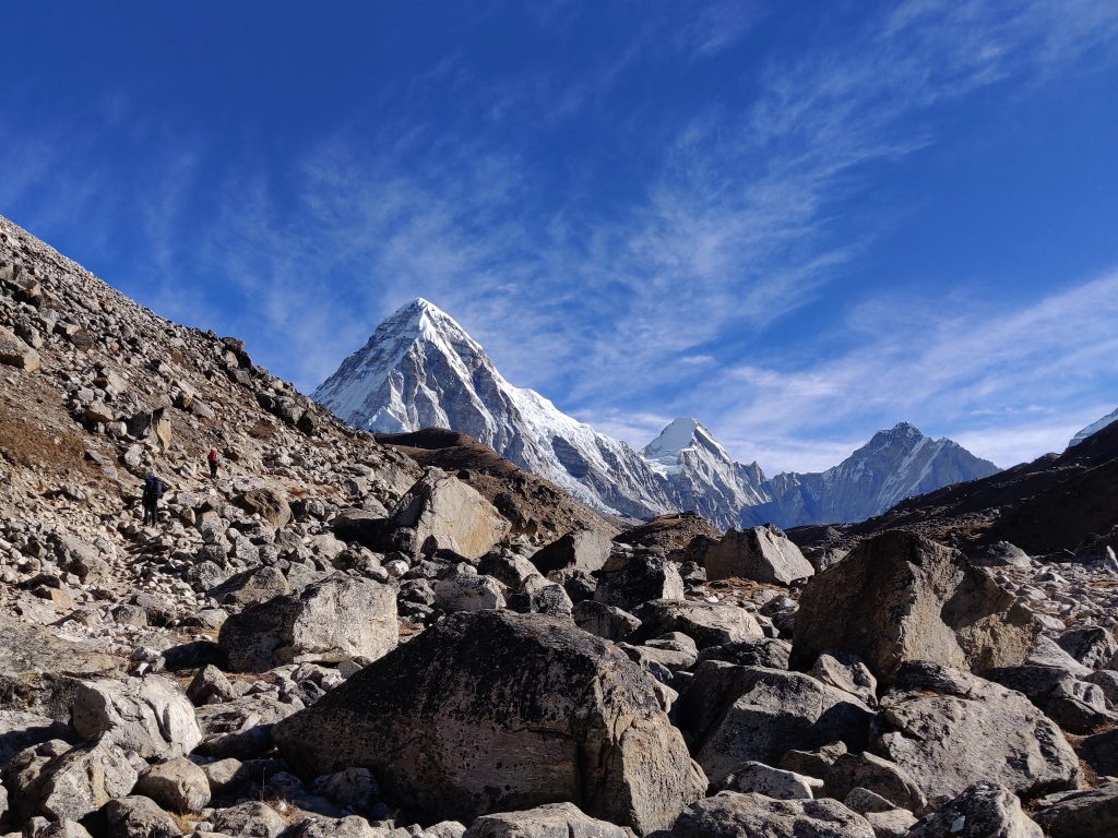
Contrary to our imagination, Lobuche – Goraksherp (5160 m) path is way more difficult. Lots of up and downs, turns and rocks, that require special attention.
TIP #11: Stop to look. You will make thousands of steps. No need to end a trip with helicopter flight on a mis-step on a moving rock.
Altitude difference between two villages of 250 m by no way resembles the difficulty. Got tired, angry and tired several times. That’s the teaching of the mountains…
Traffic
Road to EBC (Lobuche – EBC “highway”) depending on a day and hour can get busy. Herds of loaded jaks, sherpas, horses, individual, guided and groups of tourists – all on the same road, which at times gets slim.
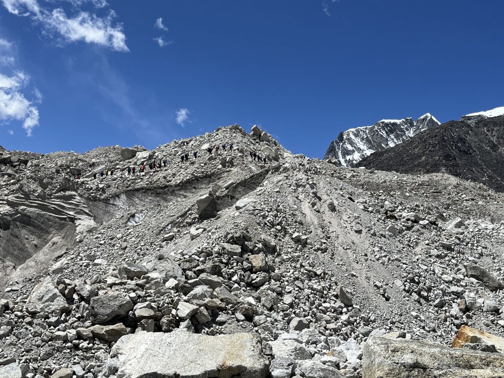
TIP #12: Give road to sherpas and animal herds. They work harder than you here. Also traffic (thanks to UK) in Napal is in the opposite direction and locals pass in UK style.
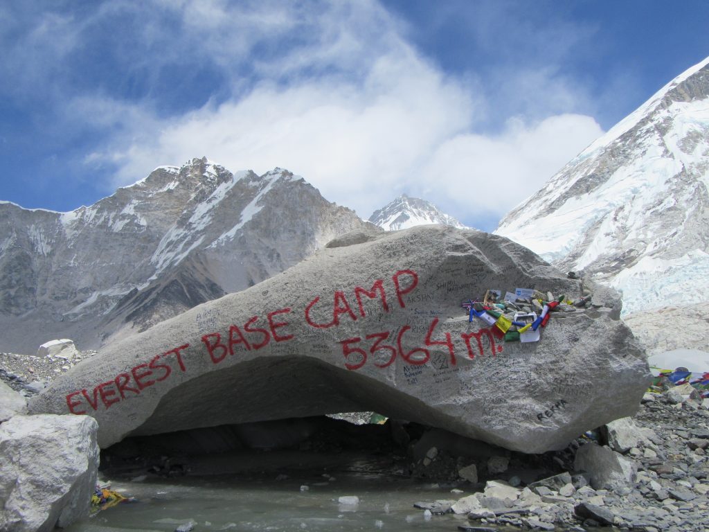
After we got settled in Goraksherp (5160 m), our highest sleeping location in entire trek, left bags, packed some snickers, tea, water and went for by no means easy walk to Everest Base Camp (5364 m).
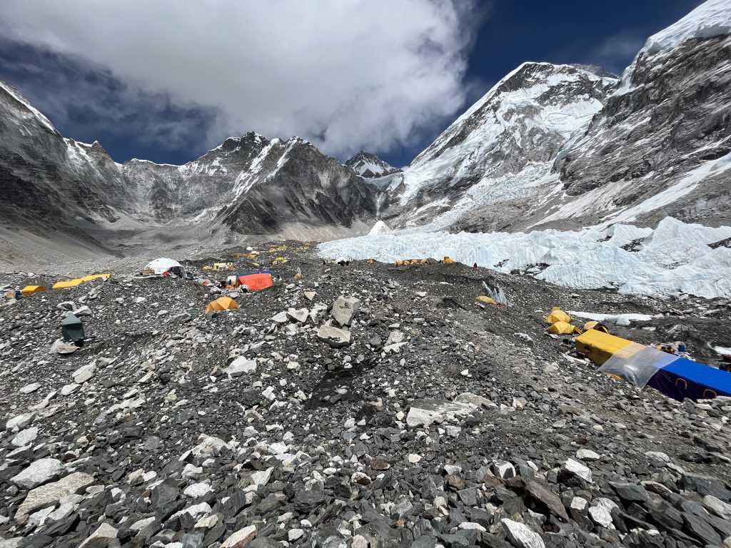
Manager of company, organizing Everest summits came to us as we were chilling with snacks and tea, one interesting thing he told.
People that will attempt a summit in a ~month will come in a week. Right now tents are being setup (hence the intense jak / sherpas traffic) with bars, massage salons, restaurants, wifi’s and this and up to base camp 2 (!). People will acclimatize, hiking up to 3rd base camp (maybe 4th) and will be flown to Kathmandu to wash and rest before weather window suitable for summit opens. They are then flown back to base camp and attempt a summit. What a high roller game…
Day #11: Kala Patthar Summit and Dzongla
We both woke up with a headache. Slept 6 hours, with mediocre quality. It snowed during the night, not much, but enough to have covered everything white in the morning. My morning headache, as usual disappeared quite quickly. Friend got nausea with first few minutes of climbing Kala Patthar. We split, I cover the team this time, he goes to rest and drink water (drank anti-altitude medicine after waking up).
Climb is hard and I left my heavy duty gloves. Feet and hand fingers are freezing. I don’t even use walking poles, carry them on wrist in an attempt to warm hands in pockets. Can’t wait for sun to lift the temperature.
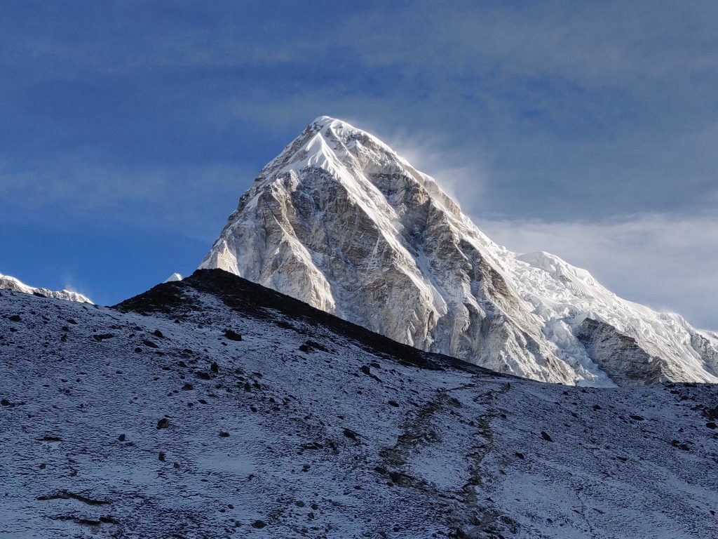
Mountain is identical to Nangkar Chang. Just a constant grind upwards (+500 meters) with little oxygen. Skies are clear and views are amazing.
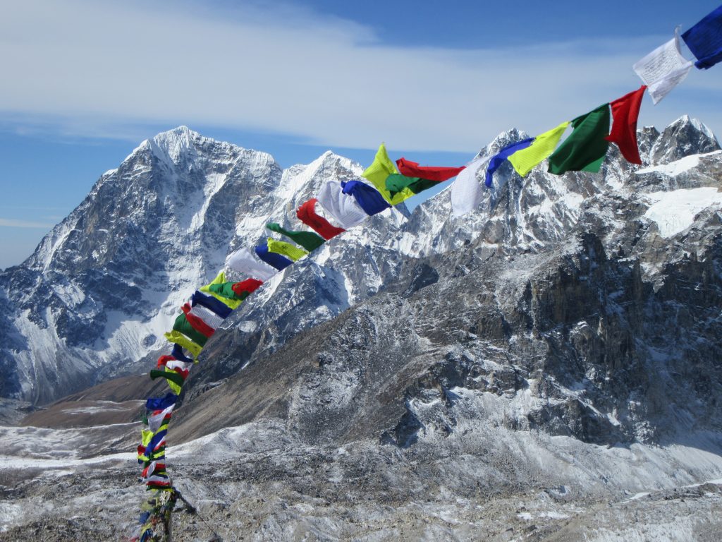
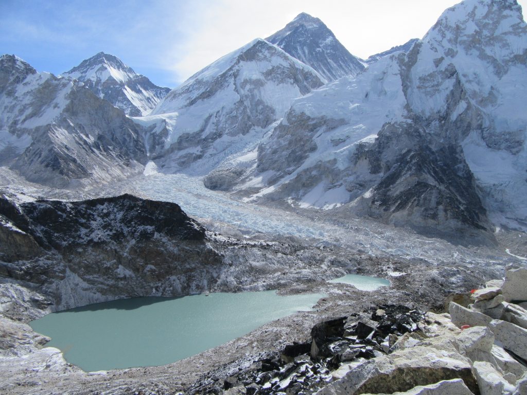
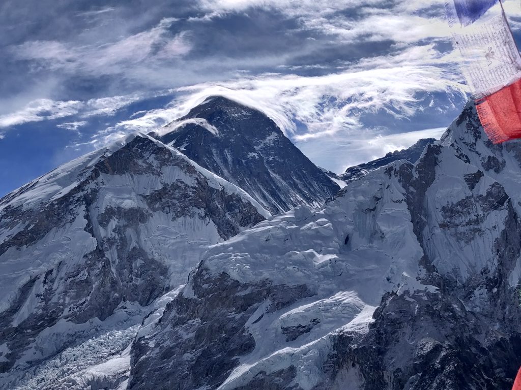
When I got down, friend was feeling better, ate a late breakfast and although our plan we set out in Lithuania was to return to Lobuche. We somehow did not even considered it and pushed into the evening for Dzongla (4830 m) (left Goraksherp at ~11, reached Dzongla at ~16).
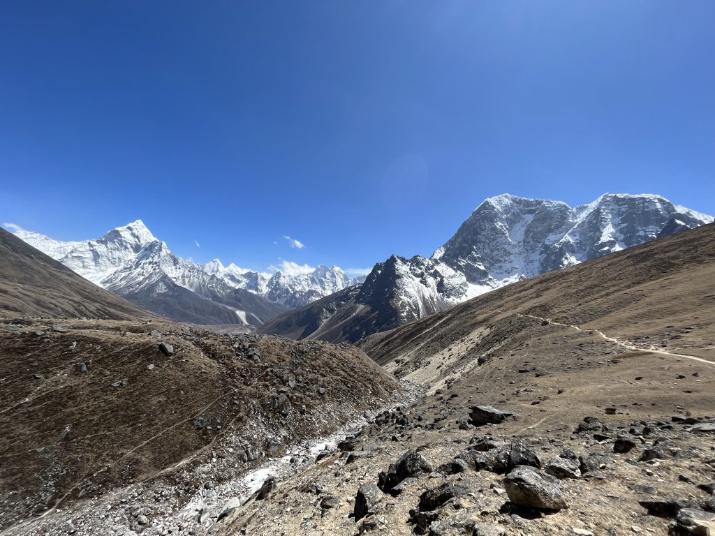
Views on a sudden turn besides mountain slope path were probably the most beautiful of all the trip. What an amazing place.
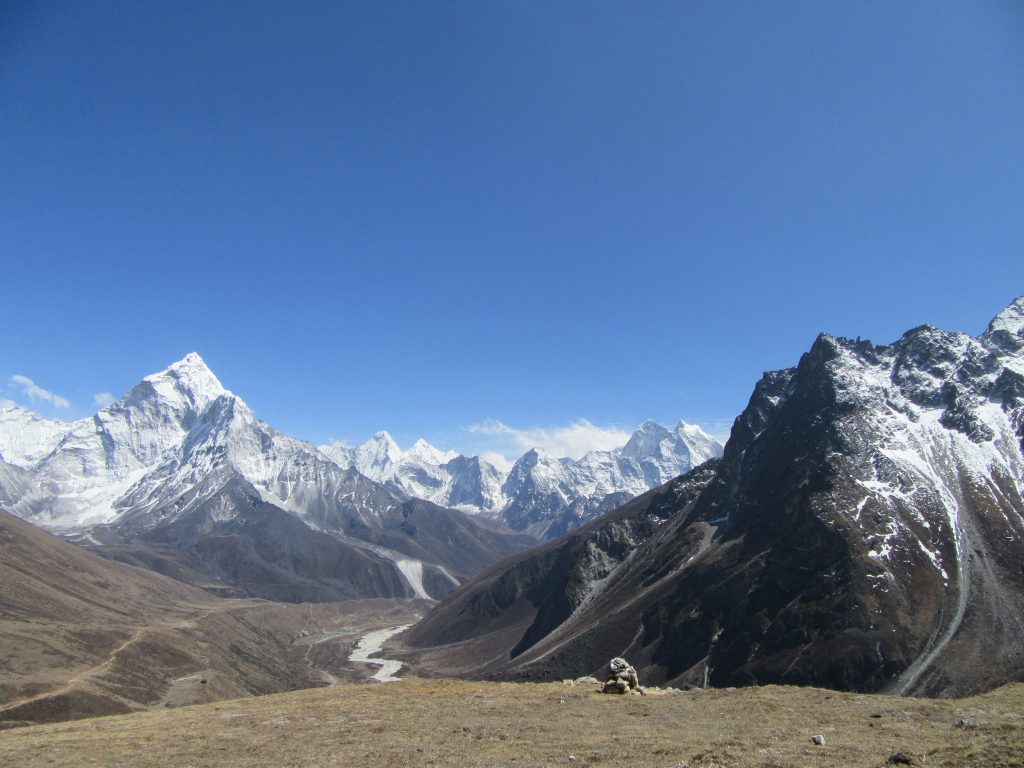
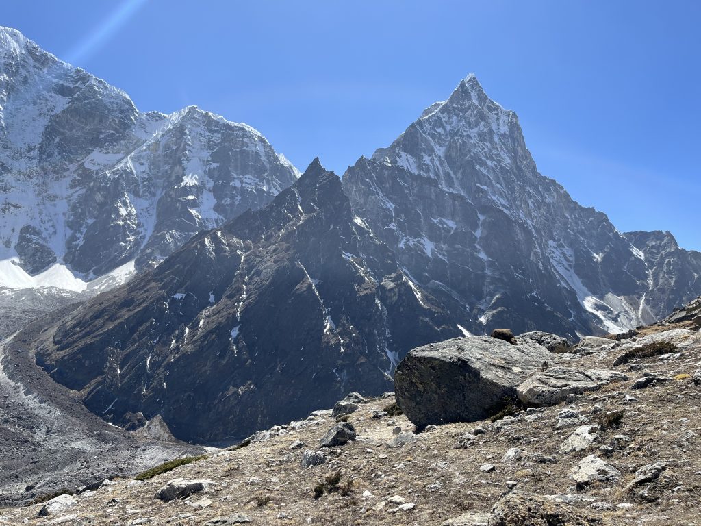
Exhausting day for me.
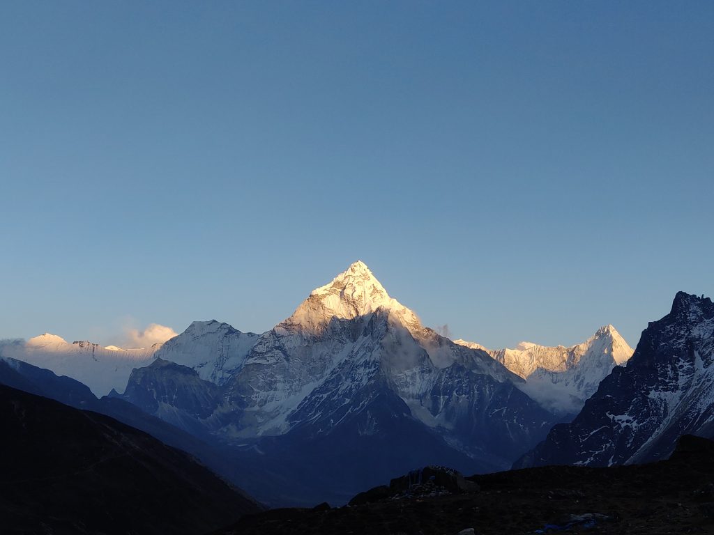
Day #12: Cho La Pass and Walk on Glacier
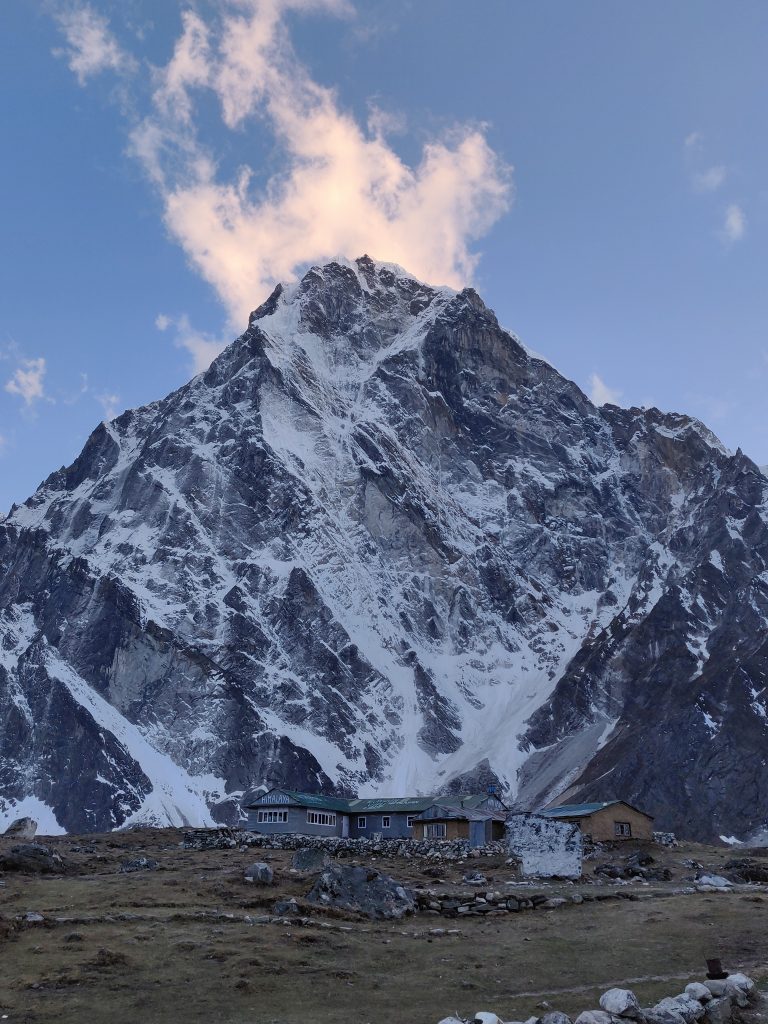
The night was the coldest from the whole trek. Ice on room glass in the morning. Blasted some Boney M to pump our selves up for a difficult day ahead. We talked about the cold with lodge owner at the breakfast, he said in Autumn it’s “way colder” here.
Trek Autumn or Spring?
Haven’t done googling on season differences but on two separate occasions we heard locals refer to autumn as harsher. Our host and Dzongla, without referring to numbers, implanted an impression it could be as low as -15°C here in October.
Another time (3 days ahead) while at the lodge, we talked to a guide, who said in 2019 autumn enough snow suddenly fell, you could not do a pass (he was referring to Renjo La). Something to consider.
Cho La Pass
Cho La is our first pass (second in Three Passes Trek). It was definitely the day with most diverse terrains, steepness and it’s properly hard. Around 20km horizontal and plenty of ups and downs along. The Cho La, as well as Renjo passes in our opinion are easier counter-clockwise (our direction). Decent, length and steepness from both must have been brutal for people going in the opposite direction. Of course nature rewards the effort.
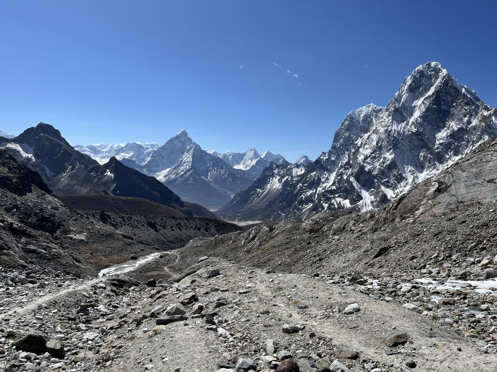
Just before the pass, lies a glacier. Time to wrap those crampons we been carrying.
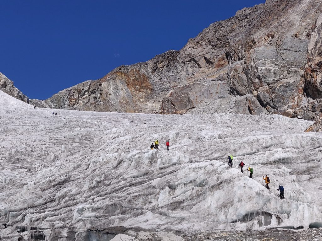
The pass tops out at 5420 m, that’s +600 ascent from Dzongla.
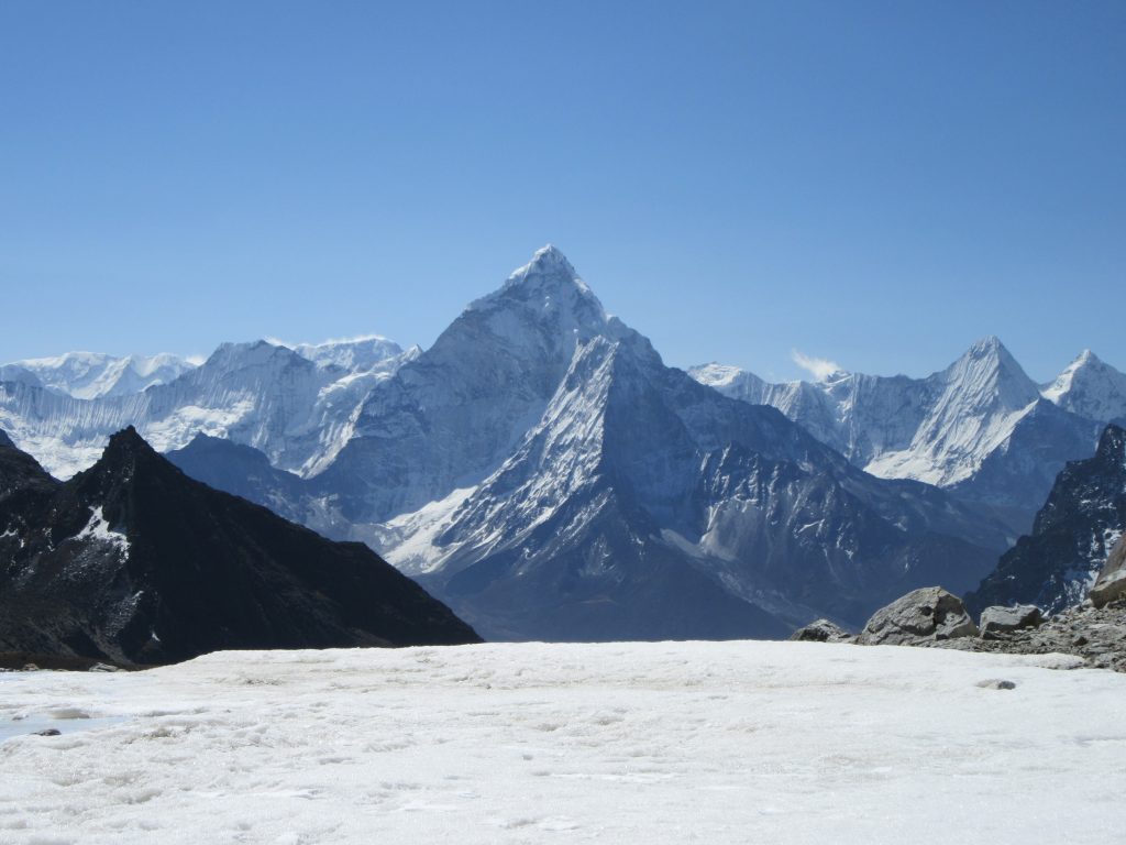
And finally a look at the other side.
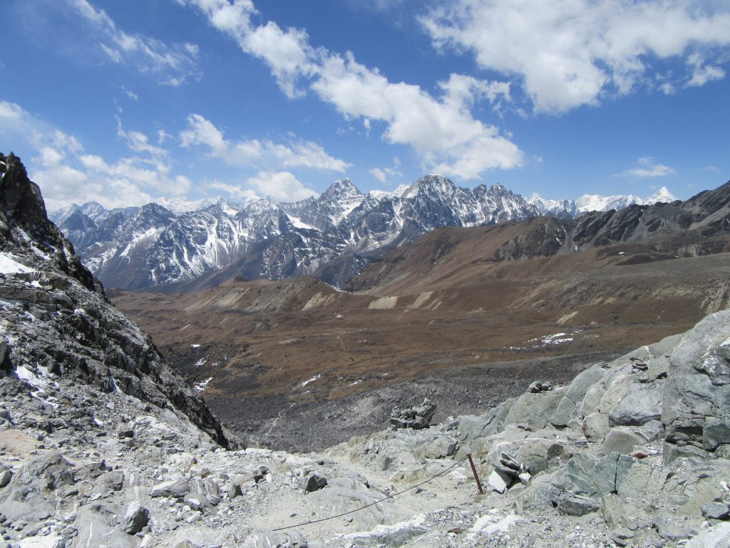
We reached and had lunch at Dragnag. Some people were staying here after the pass, but we decided we want to stay at Gokyo tonight, which seemed like 1,5h away only on maps.me.
Second glacier
We left Dragnag (4700 m) at 15h and only reached Gokyo (4790 m) 17:30. Altitude difference once again does not resemble the reality of frustration and fatigue and ups and downs of what is supposed to be another glacier (Ngozumpa), or what I personally called – a death valley.
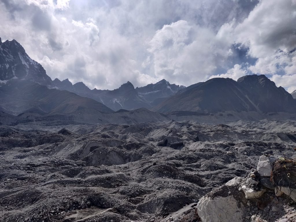
Next day we learned the path shifts every year. Zero people, sun setting; ~80 m steep borders, with gravel shifting below the boots, barely finding a path. This thing is 2km wide and we had to cross it sideways. What seemed like endless ups and downs, quickly drawnn out our patience after an already hard day and heavy backpack. Not to forget an lack of oxygen.
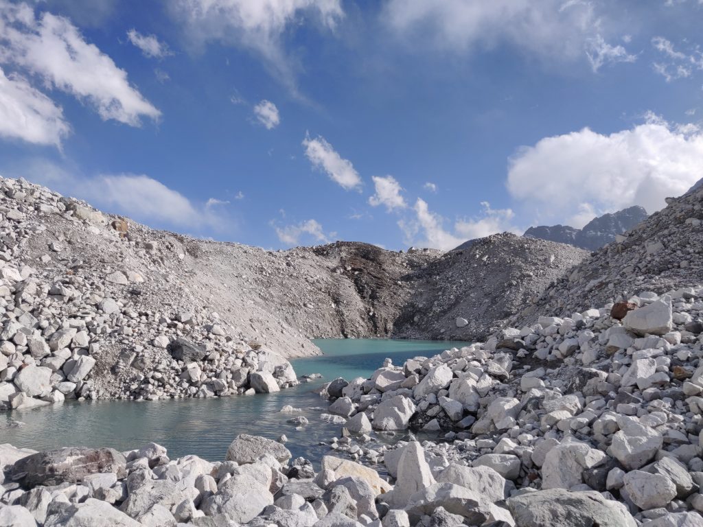
Climbing out of this pit was especially frustrating. Take a step, 1/3 comes down with gravel below a boot.
First impression of Gokyo – it’s a resort. Warm welcome from new hosts with a glass of hot orange and a deserved rest.
Day #13: Gokyo Ri Summit
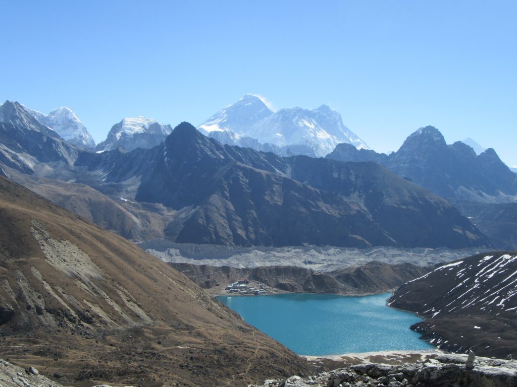
Gokyo had wifi! We stayed in beds online for a little longer this time. Started climbing the last summit of the trek at 8:15. Mountain is like the rest, but with an extraordinary lake besides Gokyo. +610 grind with little oxygen, step by step to the top of Gokyo Ri…
Little settlement near the lake – that’s Gokyo. And just outside the “wall” is yesterday’s final “boss” – second glacier.
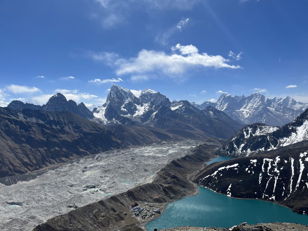
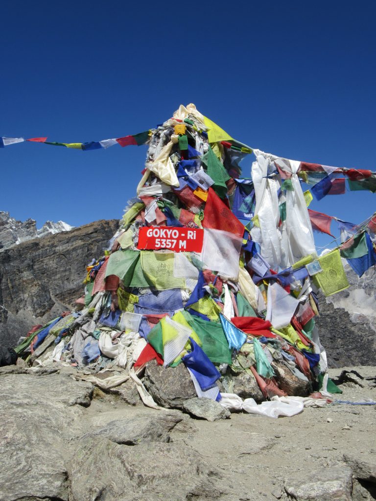
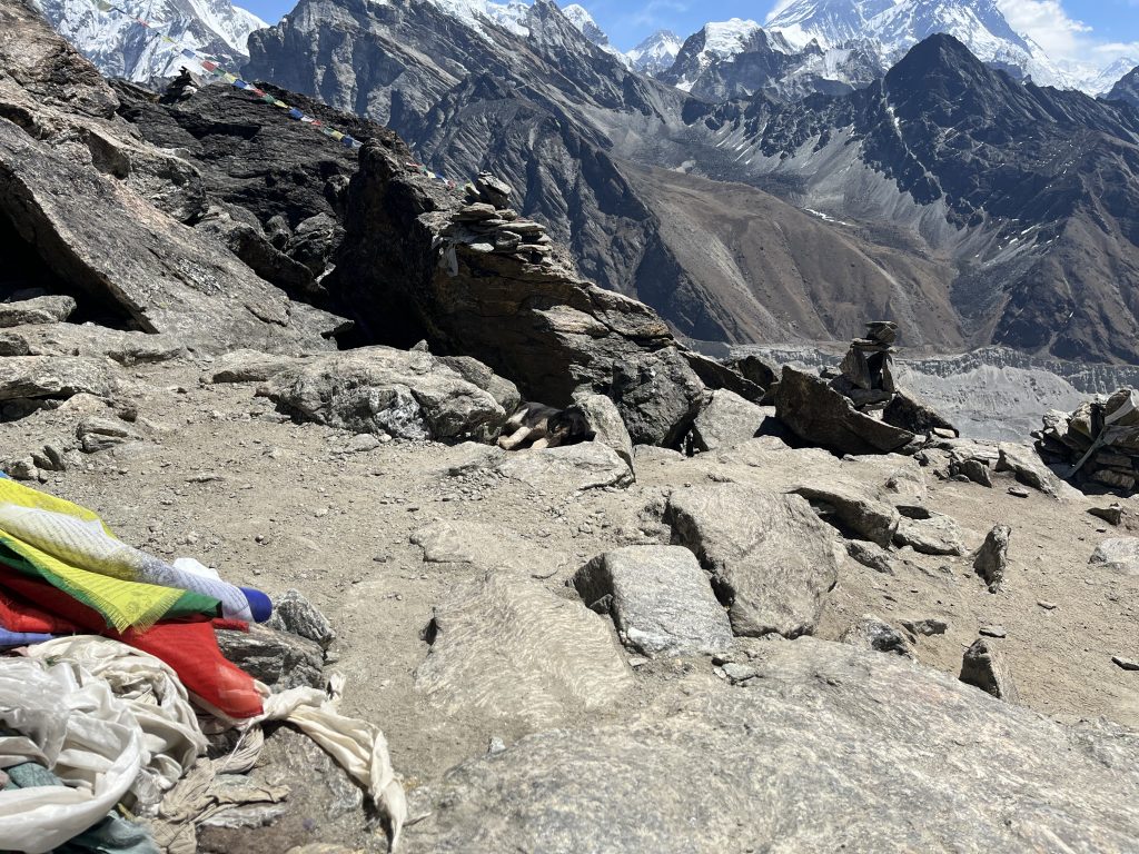
As a side note, we found a dog lying at the very summit. Cool. Weird, but cool. Can you find it?
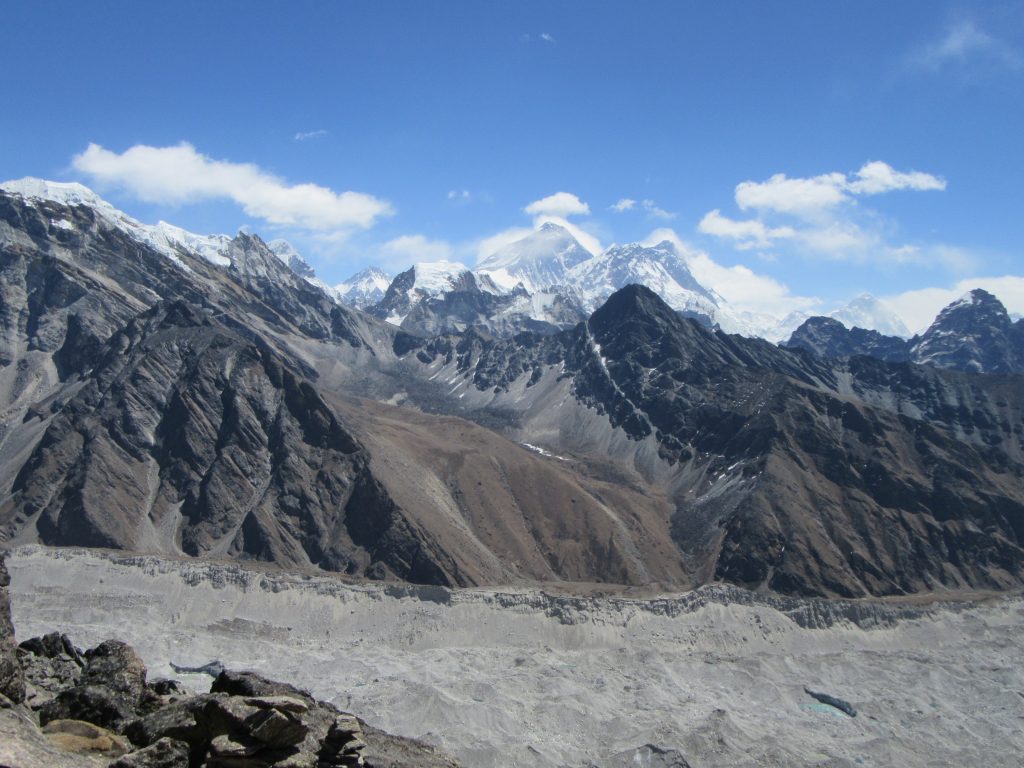
Another look at the highest of them all – the Everest.
Going back to rest, try to use unstable wifi and prepare for last pass. Water ran yesterday, not today…
Day #14: Renjo La Pass
We are hiking for two weeks already! Time flies here. Morning with usual headache, that will be gone soon. We start hiking traditionally at 7:00. We reached Renjo La Pass top (5360 m) at 10:30. +610m had pretty steep stages, taking a breath away very literally. Bye Gokyo.
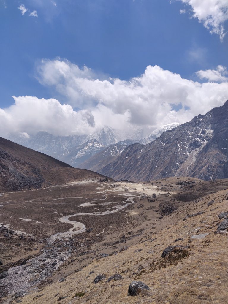
After the pass we start our two day descent back to Namche.
We take a stop to have lunch at a village I marked as Lunghen, which might have been Lumde (4370). Host woman had climbed Everest, Island Peak, Ama Dablam. And there we eat. “Serious trekkers” – hilarious.
We sleep again above our plan – closer to Namche – Tarangar (Taranga) (4380 m). At lodge I get to taste rice beer – interesting; ok.
Day #15: I Hate my Backpack so much I Stayed at Another Place
Road to Namche
We took around 5 hours to get back to Namche (3440 m). There had to be another hike uphill of course… Views were nice, trees started to show up again…
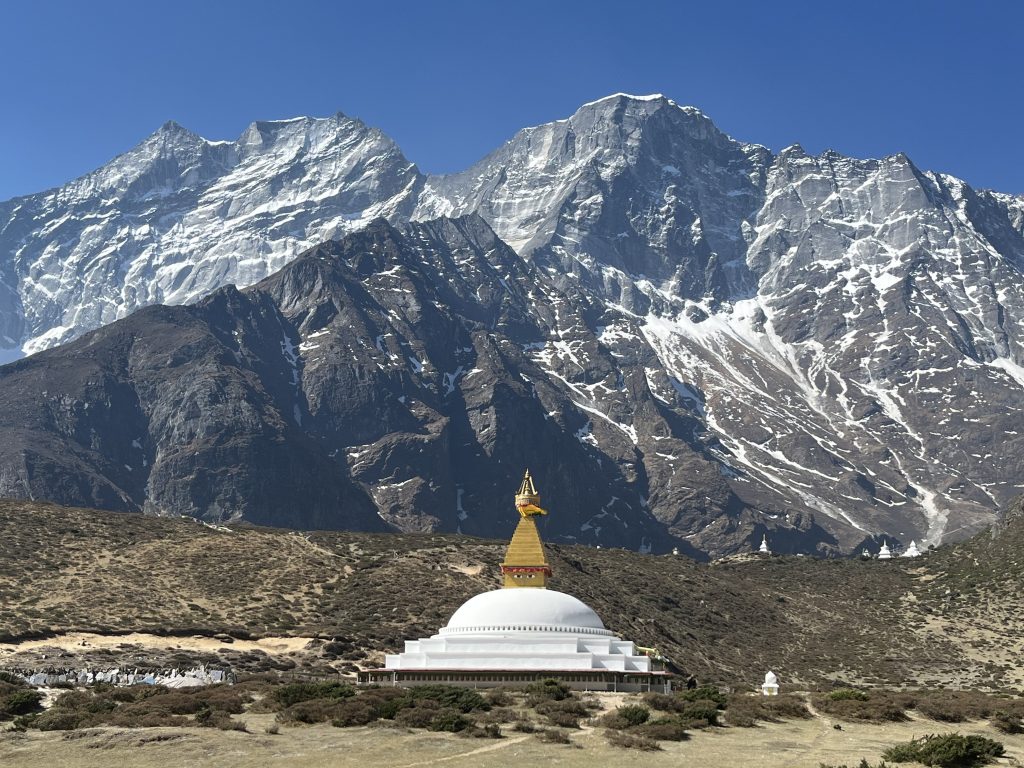
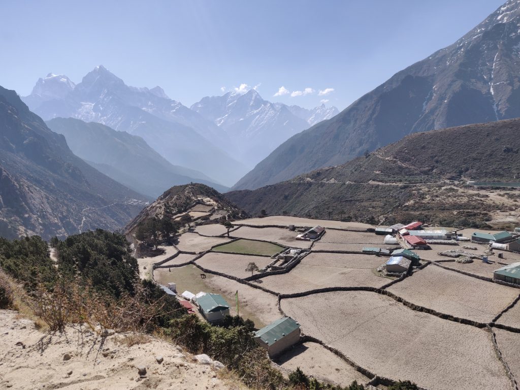
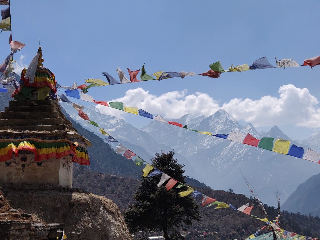
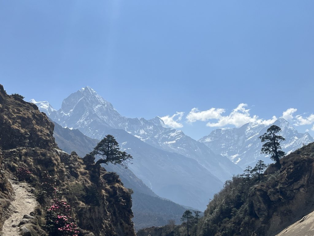
And finally Namche Bazaar again.
Celebration
Drop stuff off, take ouside cold tap “shower”, change clothes and .. to the Irish pub. With a short break we spent around 11 hours and way too much money on beer, but we felt we deserved a celebration. Rarely I get cheered by a third of a bar for playing pool well. Music and atmosphere was great.
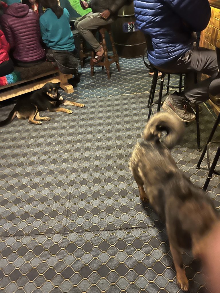
However our lodge closes doors at 10 sharp and we skipped that. Had to ask bar manager to find us a another place past midnight. To weirdly related tips:
TIP #13: Get back to hotel before it closes doors for the night
TIP #14: Easy money saving tip by my friend: buy hot water pots and bring our own tea bags (little space and weight).
The break I mentioned before: we bought some gifts and if you have an additional day in Kathmandu, there’s another one:
TIP #15: Buy gifts in Kathmandu (Thamel?). Overpaid on some stuff in Namche.
Day #16 Long and hangover’y Hike to Lukla
For us it was 7 hours (18km) hike with a killer ascent right before Lukla. Last third we walked through rain and thunderstorm. What an epic ending for the hike. Probably the only thing that made the day easier was the oxygen in the air.
Another night, food poisoning in Lukla and a morning flight to Kathmandu.
Days #17, #18, #19 in Kathmandu
Flight back went without problems, if you don’t count a hour delay. Booked ourselves a 20 USD / night 4 “star” hotel to refresh ourselves with shower and warm sleep. In remaining three days:
- bought remainder gifts;
- got ourselves a massage (some very novel moves I might add);
- shared joints with locals and ourselves;
- both got food poisoning (nausea, high temperature, no energy);
- watched movies;
- ate cheap fruits and consumed internet inside a comfy bed.
Enough time to think how Nepal compares to Lithuania. For the other curious:

Quite naturally I omitted a lot, so want to bring focus to several points.
Takeaways
Nepalese are Great
People are super friendly and unlike elsewhere, taxi drivers, salesmen seem to seek win-win without outright scams and cheating. Nepals dominant religion is Hinduism (close ties with India), but some and Buddhists. And in mountains it’s de facto dominant. And Buddhism is beautiful.
When people greet you in Kathmandu with “Namaste” – I felt some guilt to have a preconceived notion there’s a sales pitch lurking behind a greeting, but at times, people were just genuinely friendly towards tall white dudes.
Mountains Humble You Fast
It’s somewhere above 5000m and air is thin. There was a steep ascent, that is not finished. There’s a rock, with height up to your knees. You walk slowly and position your feet right at the stone, so there’s no excessive leg lift or movement. You place both your poles on the rock, inhale and push your body upwards. Another step made.
Never in my life I felt so weak while being healthy. During smoke in Kathmandu in daunted on me: 50 years from now, I’ll moving like this at normal altitude in my home or on a way to the shop. I’ll probably be using the same body mechanics. What a mind trip into the future…
At least I’ll have a memory of walking among the highest peaks on this planet.
Trekkers are Awesome
Me met 70 olds that have climbed peaks in Himalayas, visited EBC multiple times. We could barely catch some of them. A lot of people are doing EBC / Three Passes Trek, that started -1/+1 day from you. Faces start to repeat, conversations deepen, temporary hike friendships form.
Great stories with one reoccurring theme, some people are here for the second time. They did Annapurna trek first. It’s easier, lower. Take this with a grain of salt, as we had not done it, but:
TIP #16: Go for Three Passes / EBC trek.
Unless you have time, budget and willpower to fly and walk multiple treks multiple times, it makes little sense. Planet is too diverse and there are too many places waiting to be discovered.
I May Have the Best Friends
Similarly to the publicly untold story of 1100 km bicycle trip across Spain coastline years ago, none of this could had happened if not for the invite to join by my friend. Eternally grateful for this challenge.
Now onto the next one. Peace out.


Leave A Reply